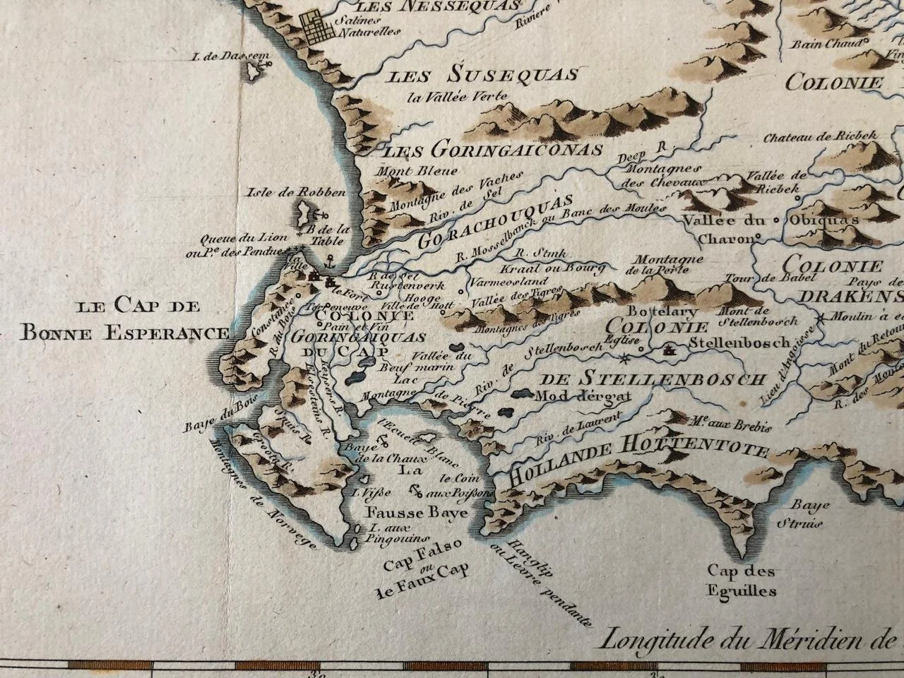
Map of the Cape of Good Hope
Hand coloured copperplate engraving
c. 1746.
By Jacques Nicolas Bellin (1703-72).
Bellin was born 1703 in Paris. He worked over fifty years for the "Dépot des Cartes et Plans de la Marine". Bellin was appointed "Ingénieur hydrographe de la Marine" in 1741. Later he became "Hydrographe du Roi" and a member of the Royal Society in London. He died 1772 in Versailles.
This map is interesting because of the lack of geographical detail as we know it today. The coastline, rivers and various mountain ranges are exaggerated.
395mm x 270mm
R5,000