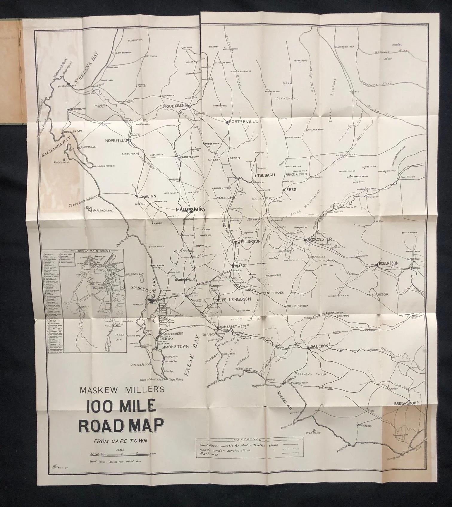
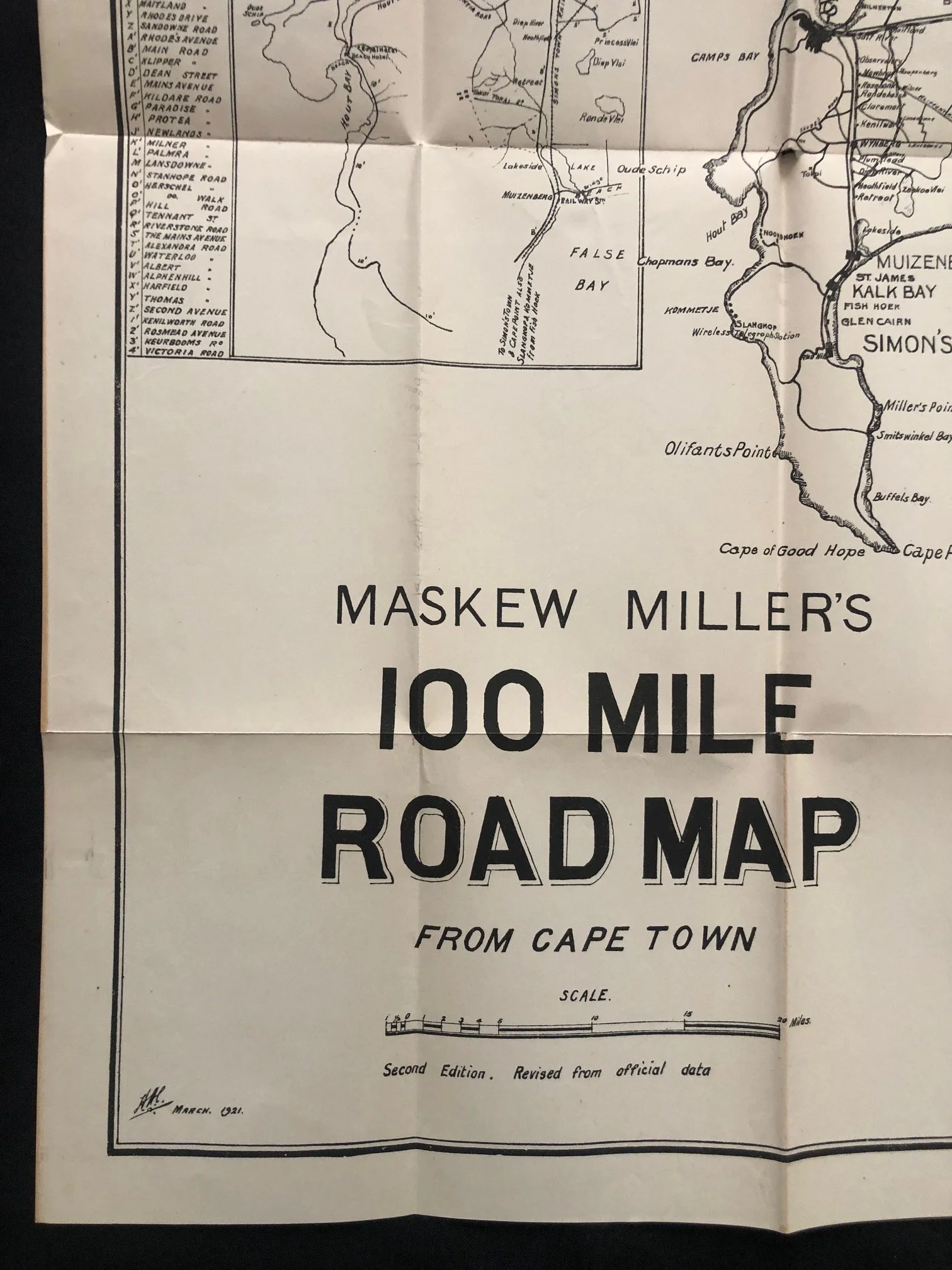
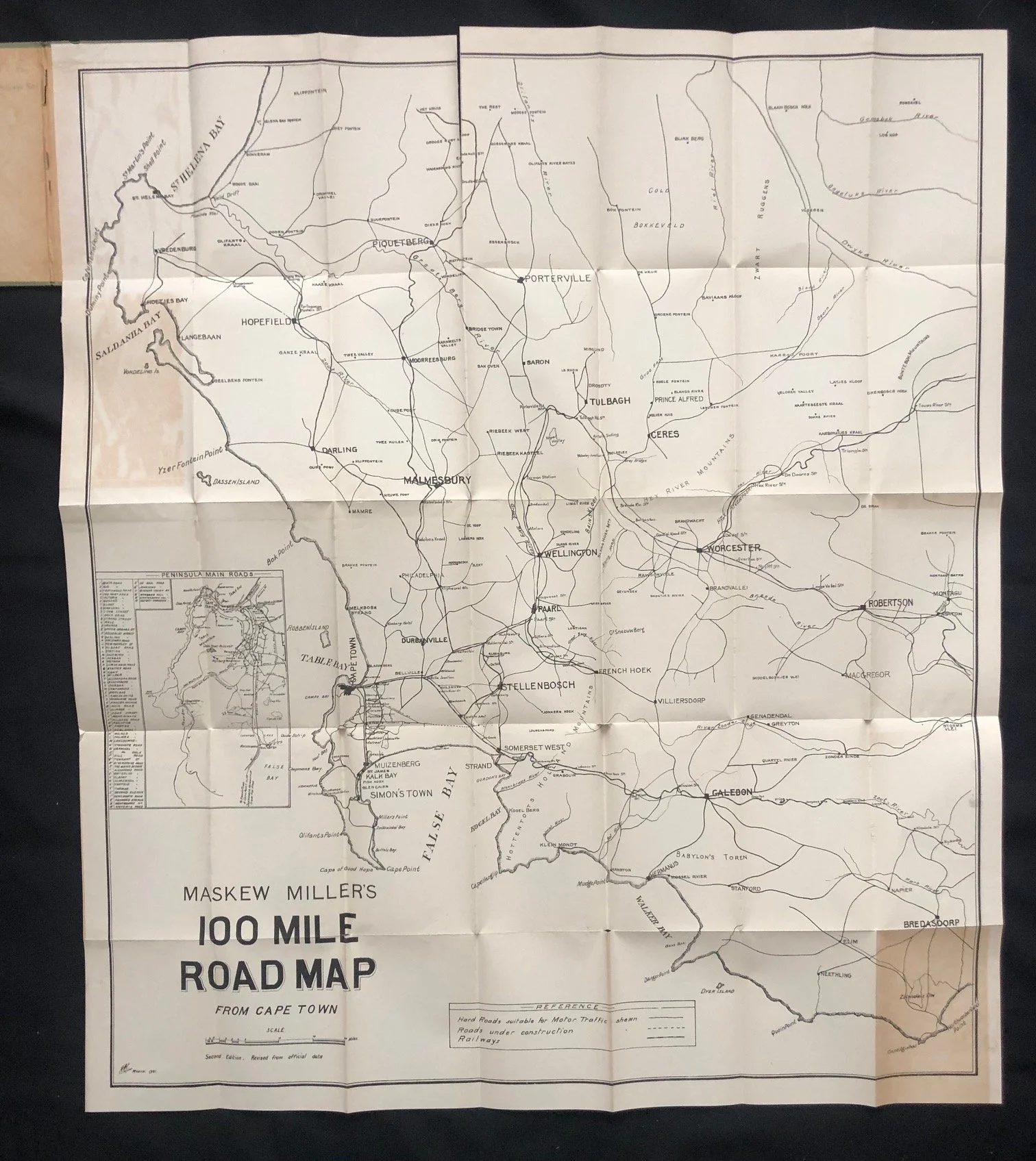
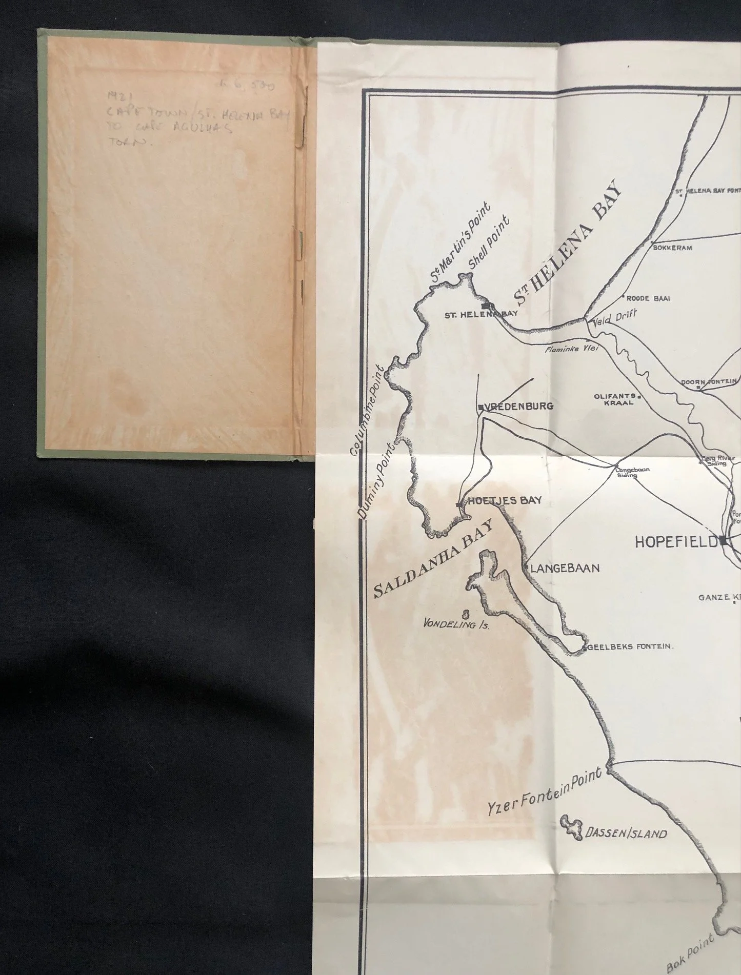
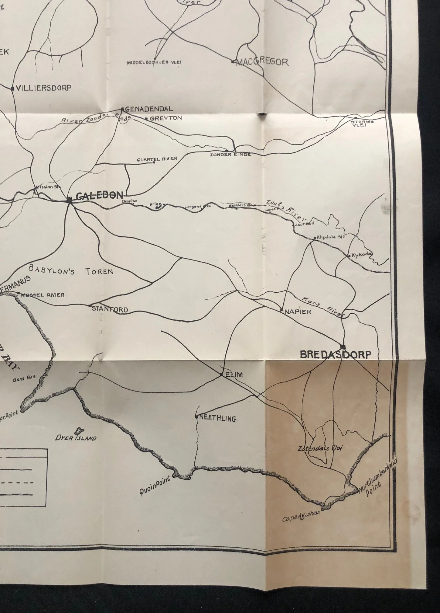
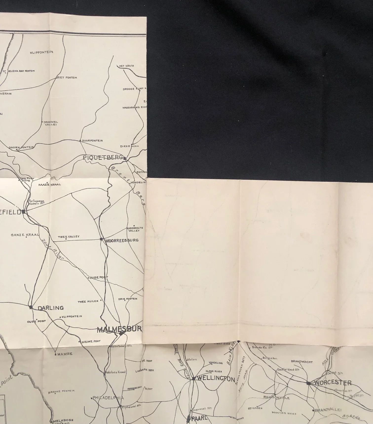
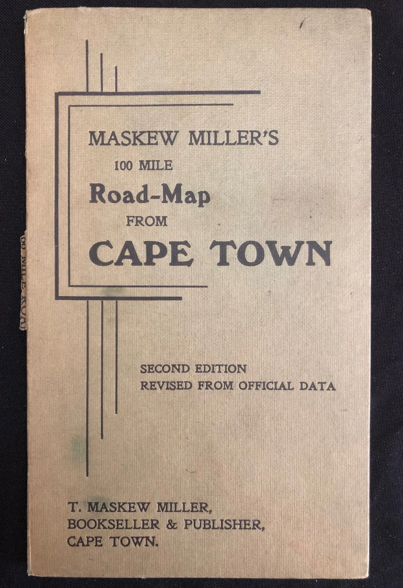
Maskew Miller’s 100 Mile Road Map from Cape Town, dated March 1921
This is the second edition.
By March 1921, Cape Town was experiencing a massive post-WWI boom in automobile ownership. The iconic Ford Model T and early Chevrolets were arriving at the docks in large numbers, changing society from one reliant on railways and horse-drawn carts to one of independent weekend touring.
However, the infrastructure couldn’t keep up. Roads were notoriously poor—frequently just corrugated, sandy tracks that turned to thick mud in winter. This map was a vital tool published exactly when the Royal Automobile Club (RAC) of South Africa and local authorities were aggressively lobbying for the "Good Roads" movement. A "100 Mile" radius from Cape Town was effectively the absolute limit of where an early motorist could realistically hope to travel and return from in a weekend without major mechanical disaster.
A Glimpse of Chapman’s Peak Before the Modern Highway
If you look closely at the coastal outline on the map insert, you'll see Chapman’s Bay, Kommetjie, Slangkop, and Hout Bay.
What makes the March 1921 date highly significant is that Chapman’s Peak Drive did not exist yet. The incredibly complex, dangerous engineering project to carve the road out of the cliffs began in 1915, but it wasn't officially opened to traffic until May 1922—just over a year after this map was revised and printed.
If you wanted to get to the southern peninsula (Simon's Town or Cape Point) from the Atlantic side in 1921, you couldn't take the spectacular cliffside route; motorists had to cut back through the valley or stick to the False Bay side via Muizenberg, which is why the False Bay route is so heavily emphasized on the right of the sheet.
The "Wireless Station" at Kommetjie
On the peninsula map, near Kommetjie, there is a small label reading "Wireless Station." This refers to the Slangkop Lighthouse and its accompanying radio station, which played a massive, hidden role in World War I just a few years prior.
Established in 1911, it was one of the most powerful wireless telegraphy stations in the Southern Hemisphere. During the war, it was the crucial communication link tracking German raiders (like the SMS Wolf) in the Atlantic and Indian Oceans and managing the intense wartime shipping traffic diverted around the Cape. For a 1921 motorist, seeing it on a map was a reminder of cutting-edge, modern tech.
Maskew Miller's Transitional Era
Thomas Maskew Miller opened his doors on Adderley Street in 1893. By 1921, he was the undisputed king of South African educational publishing, textbooks, and local cartography. Just a few years after this map was printed, in 1924, the company restructured into the famous Maskew Miller Ltd., making these earlier, solo "T. Maskew Miller, Bookseller & Publisher" imprints highly collectible markers of the firm's late-Victorian/Edwardian-style independence before it became a corporate publishing giant.
The cover's geometric frame borders are a beautiful nod to the very early, emerging Art Deco aesthetic of the 1920s.
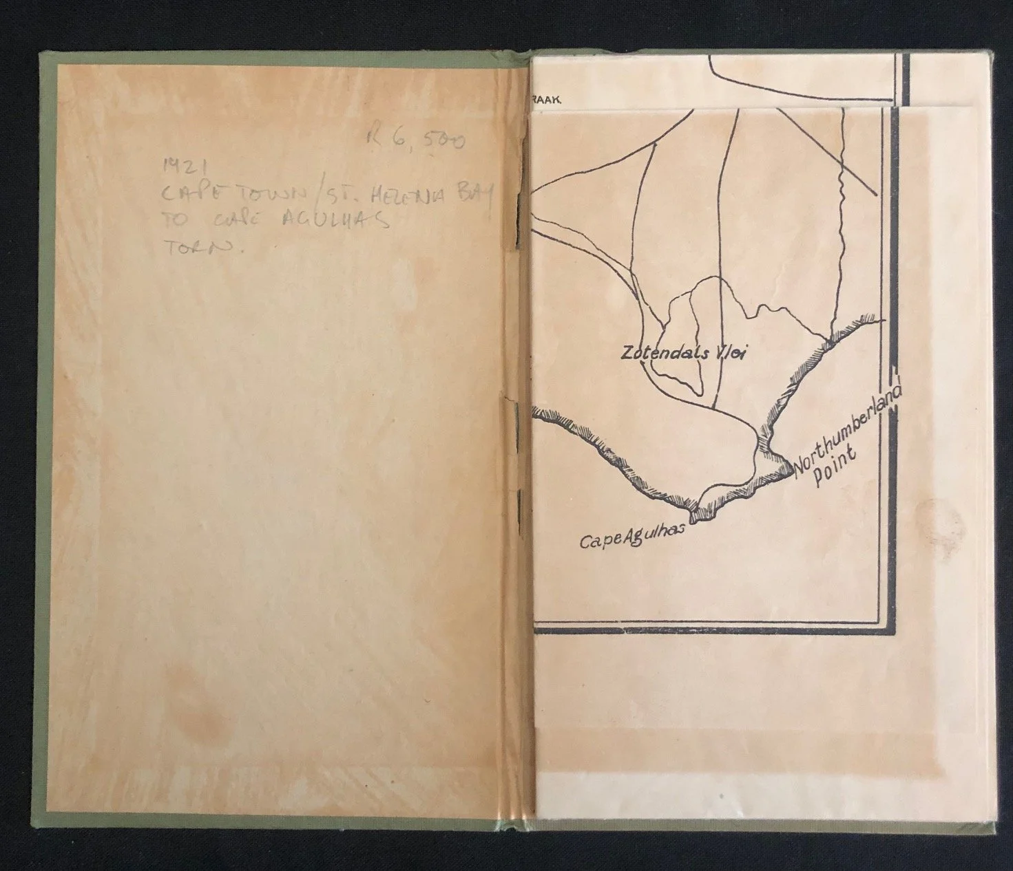
Some tonal discolouration; torn in several places however complete. The board binding is also chipped in places.
Map size: 750mm x 870mm
Booklet size: 130mm x 195mm
R5,000