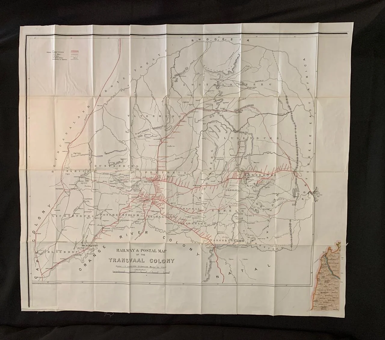
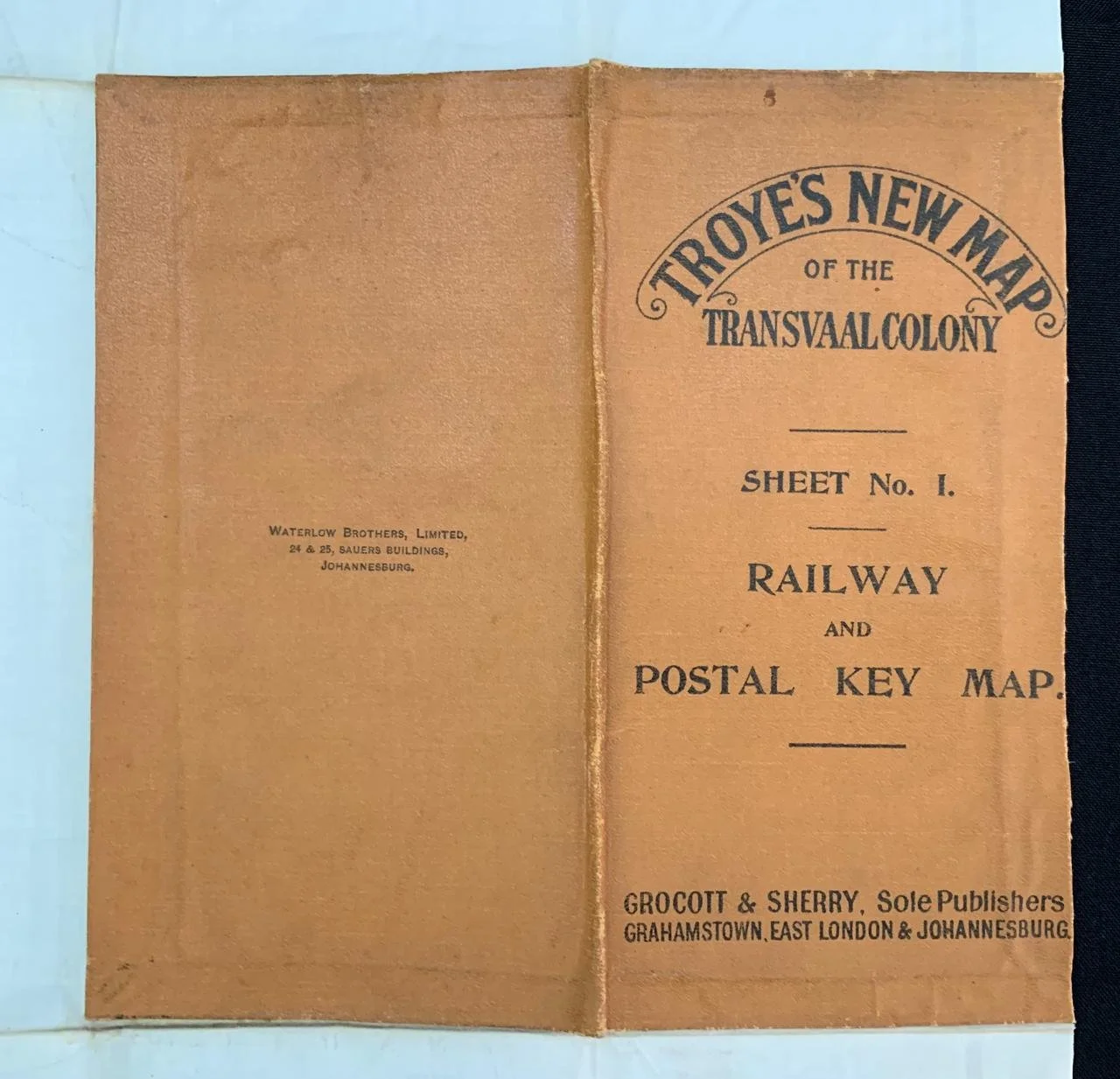
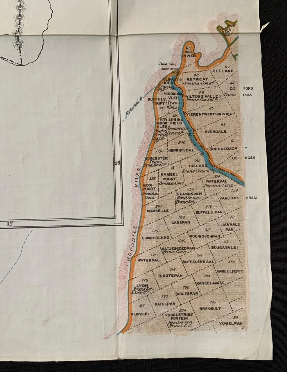
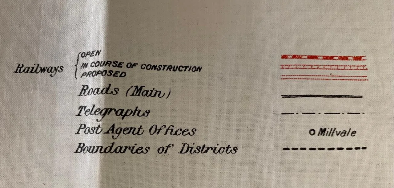
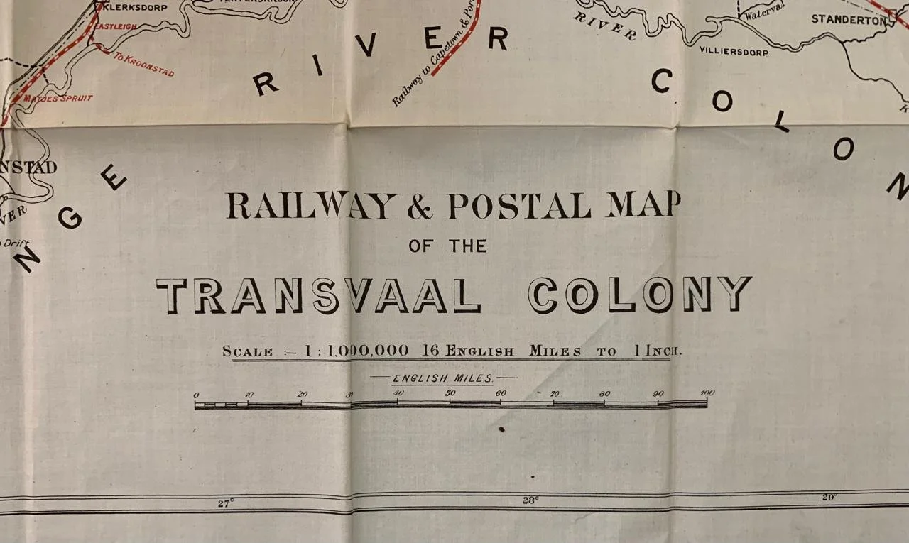
Troye's New Map of the Transvaal Colony (c.1902-1909)
Railway and Postal Map of The Transvaal Colony
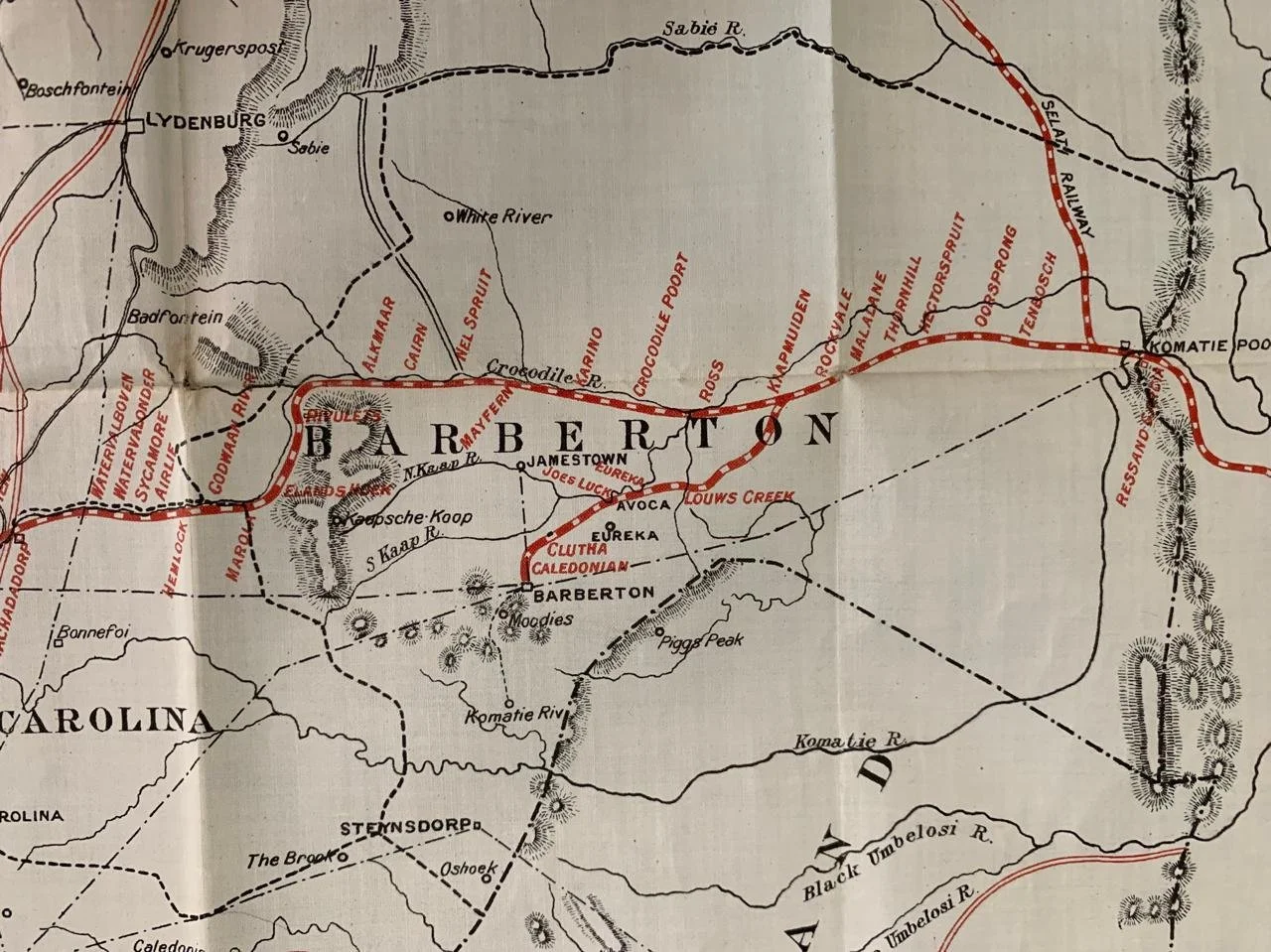
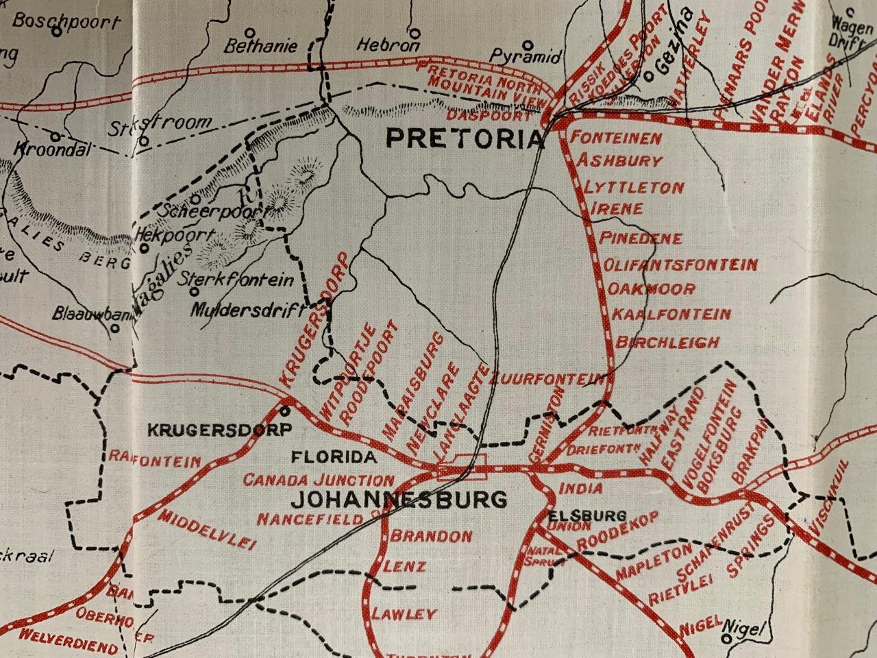
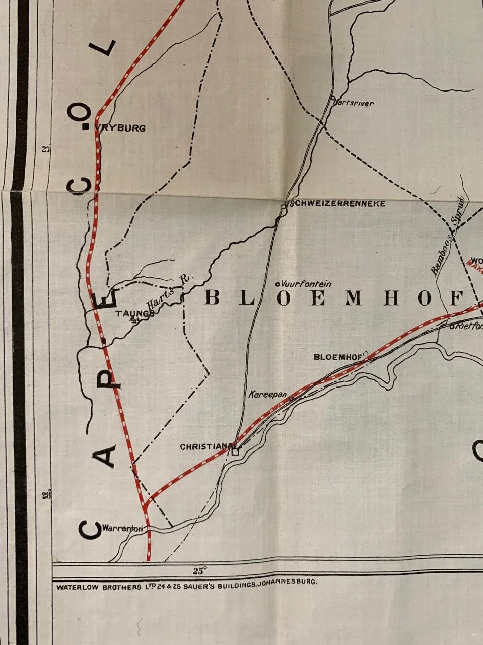
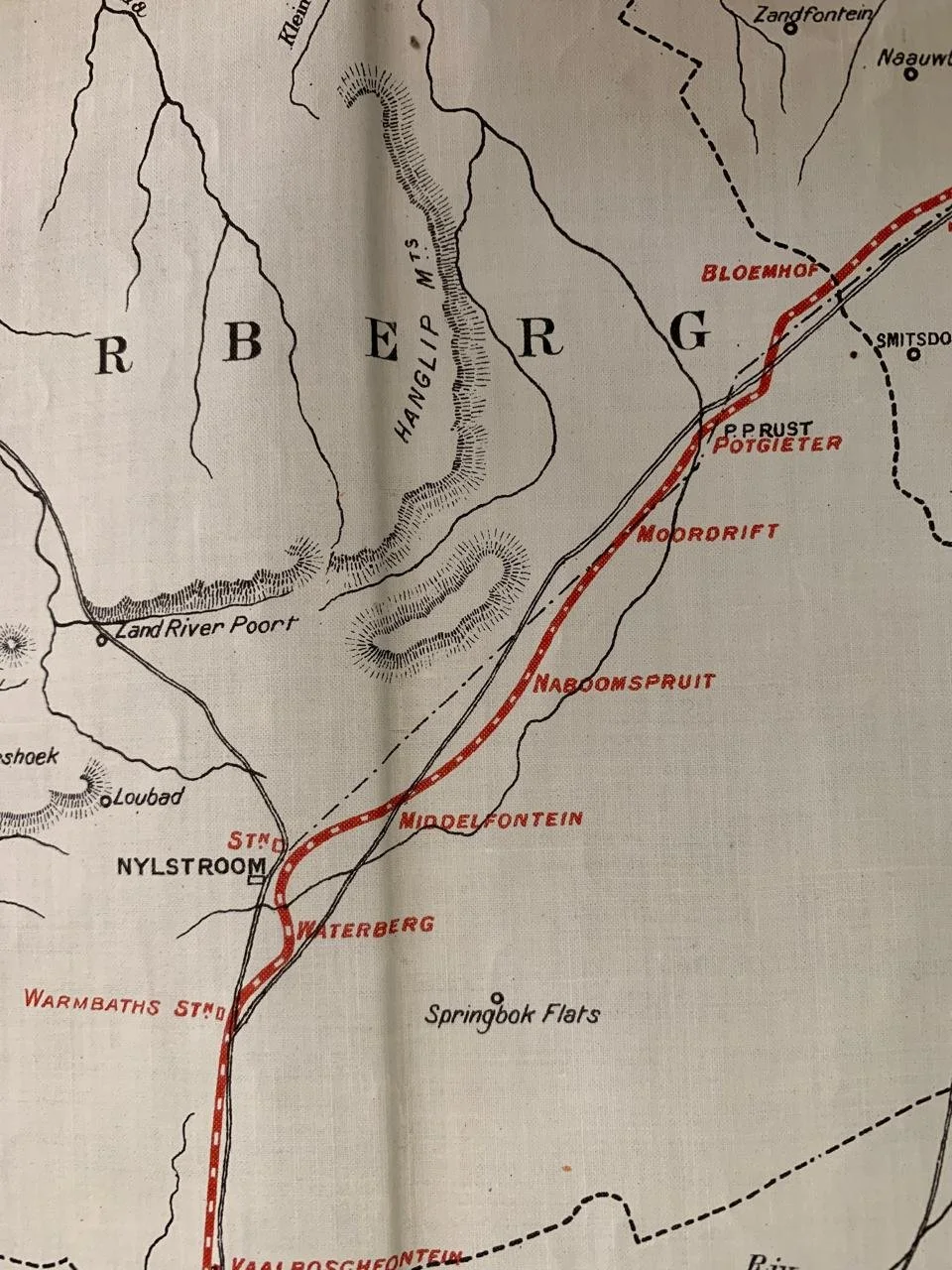
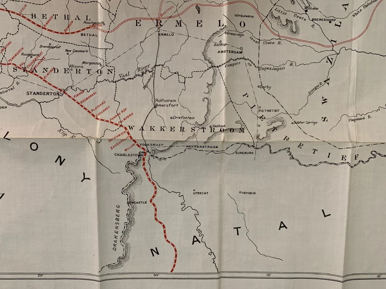
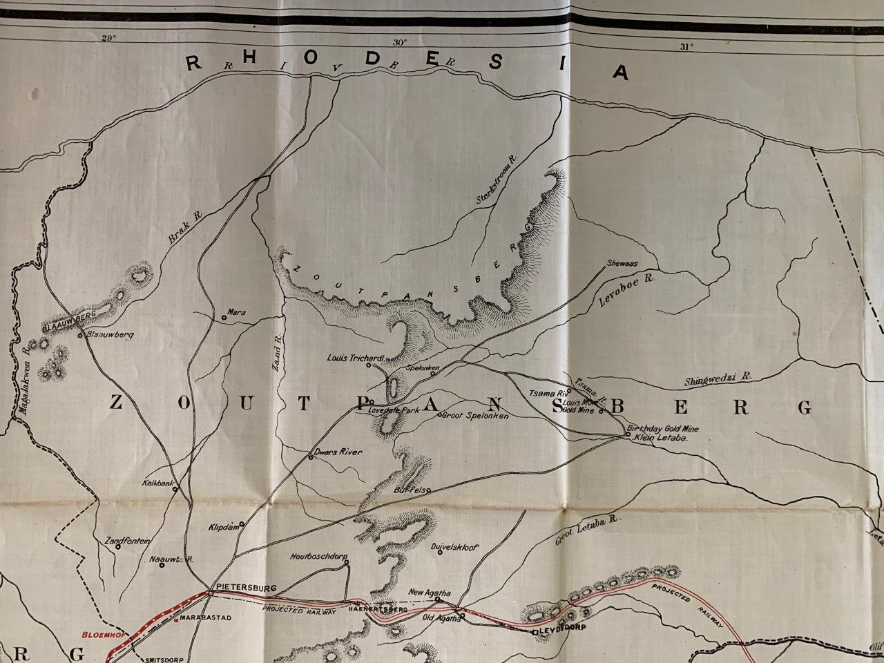
Lithograph printed on silk by the Waterlow Brothers, based in Johannesburg. This map was produced just after the Boer War and before South Africa became a Union in 1910. It was produced at a time when South Africa was becoming industrialised and major infrastructure projects were underway. It is also curious to note that South Africa became a Colony of the British Empire after The Boer War.
900mm x 795mm
R6,000