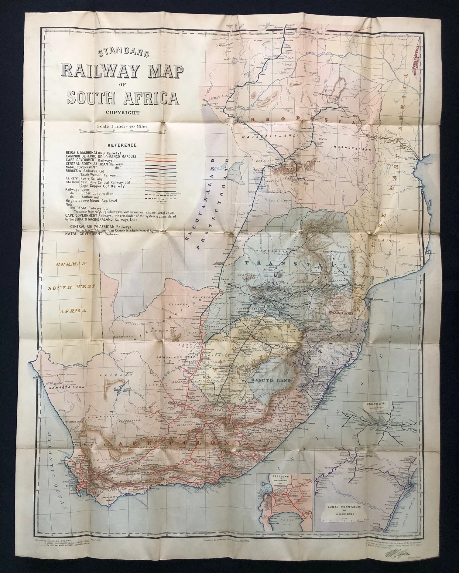
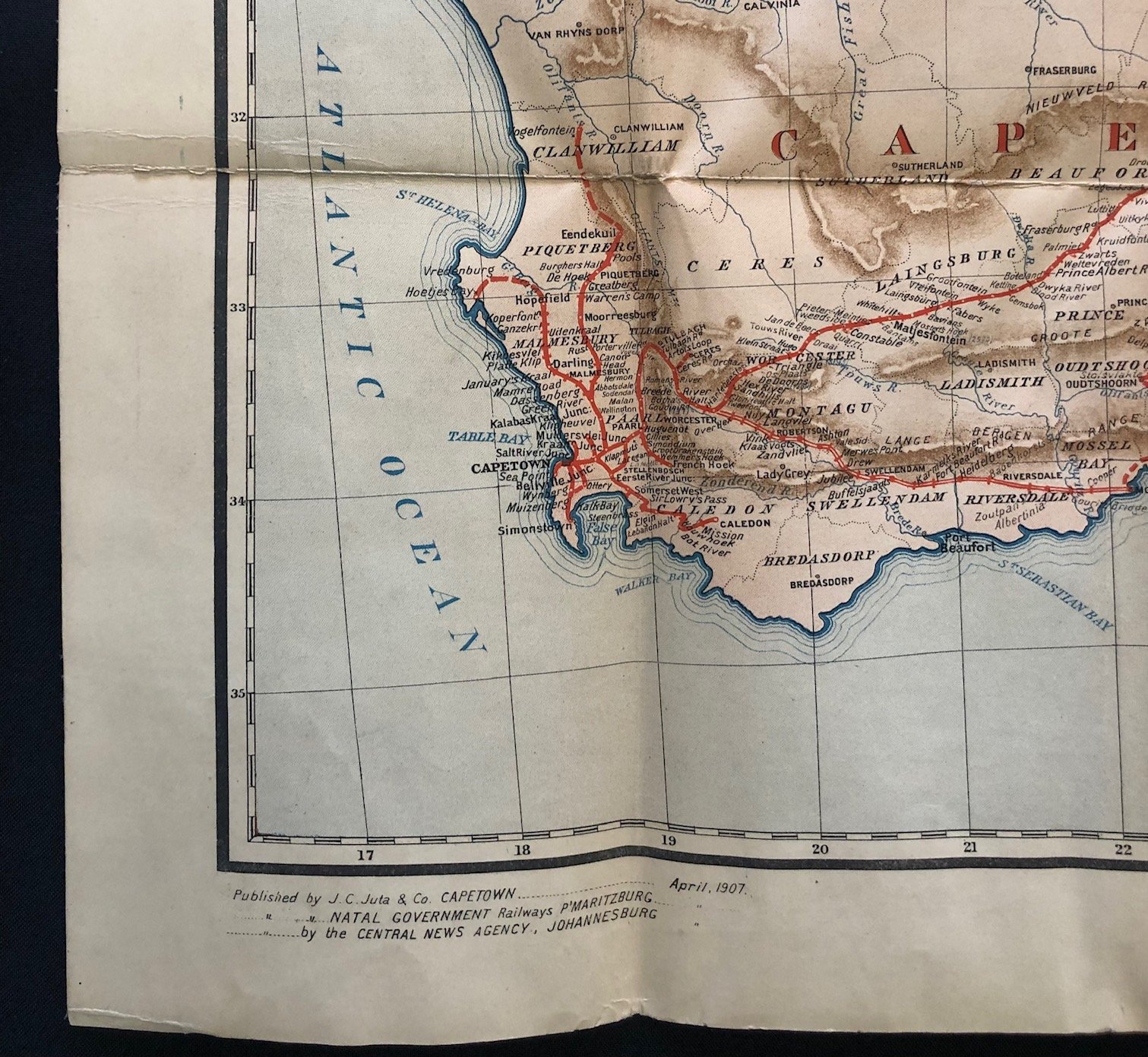
Standard Railway Map of South Africa 1907
Linen-backed map.
Chromolithograph.
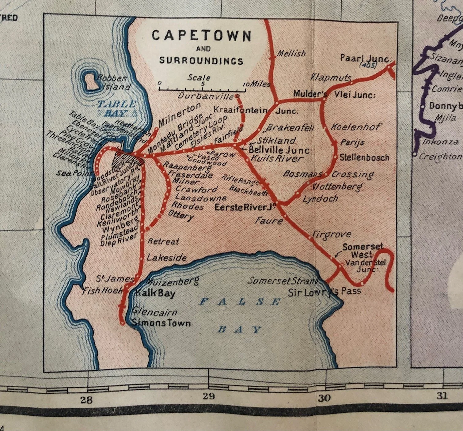
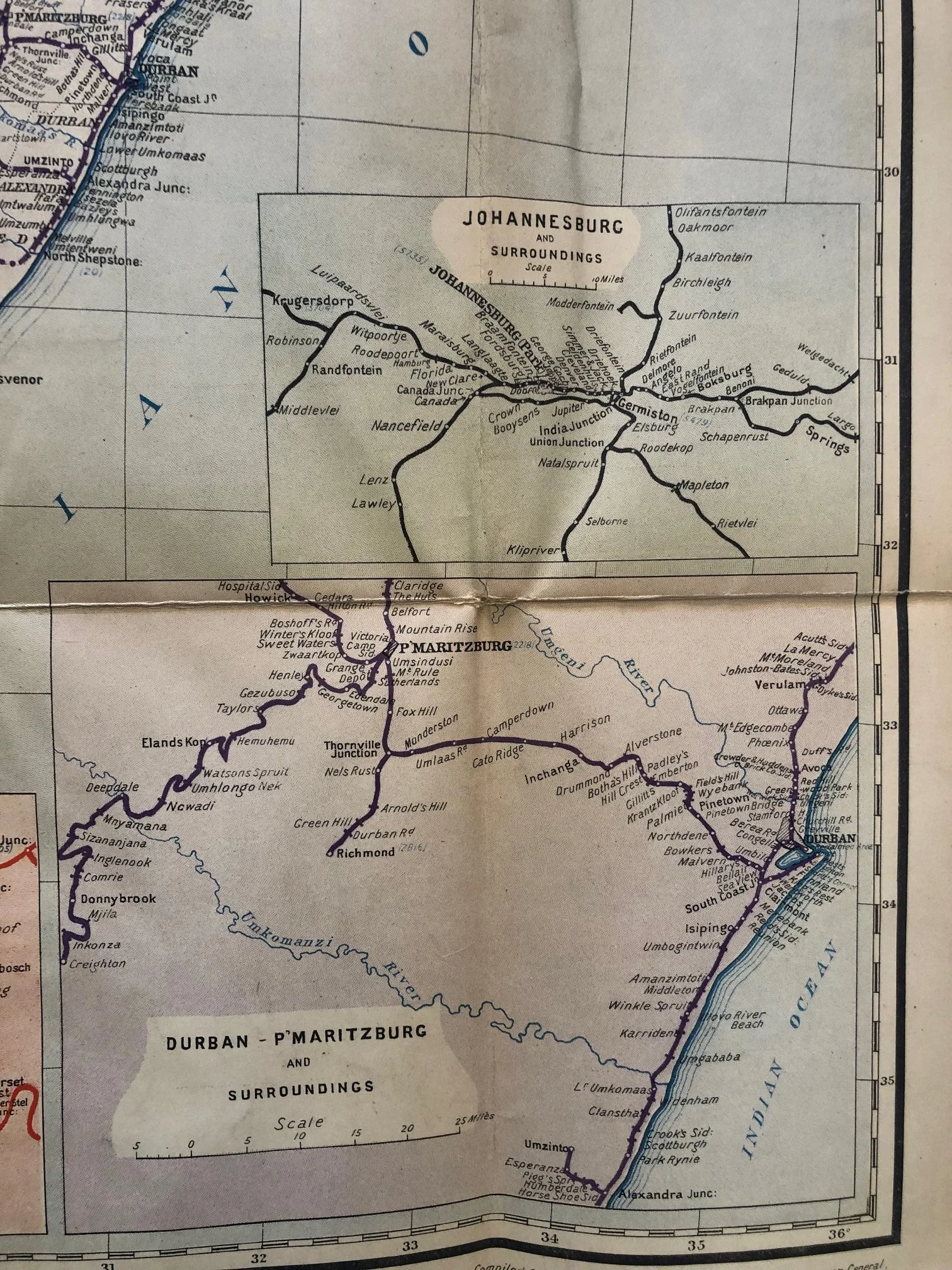
This map serves as a perfect geographic "snapshot" of South Africa during a brief, highly tense transitional window between the end of the Anglo-Boer War (1902) and the formation of the Union of South Africa (1910).
The Railroads as Spoils of War
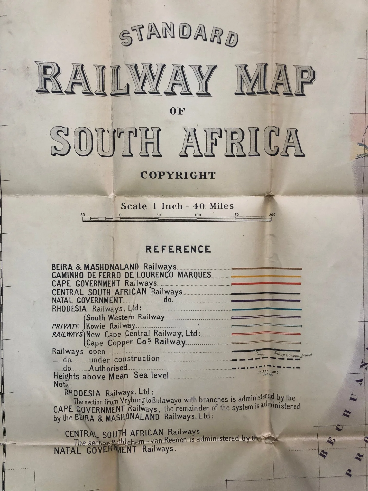
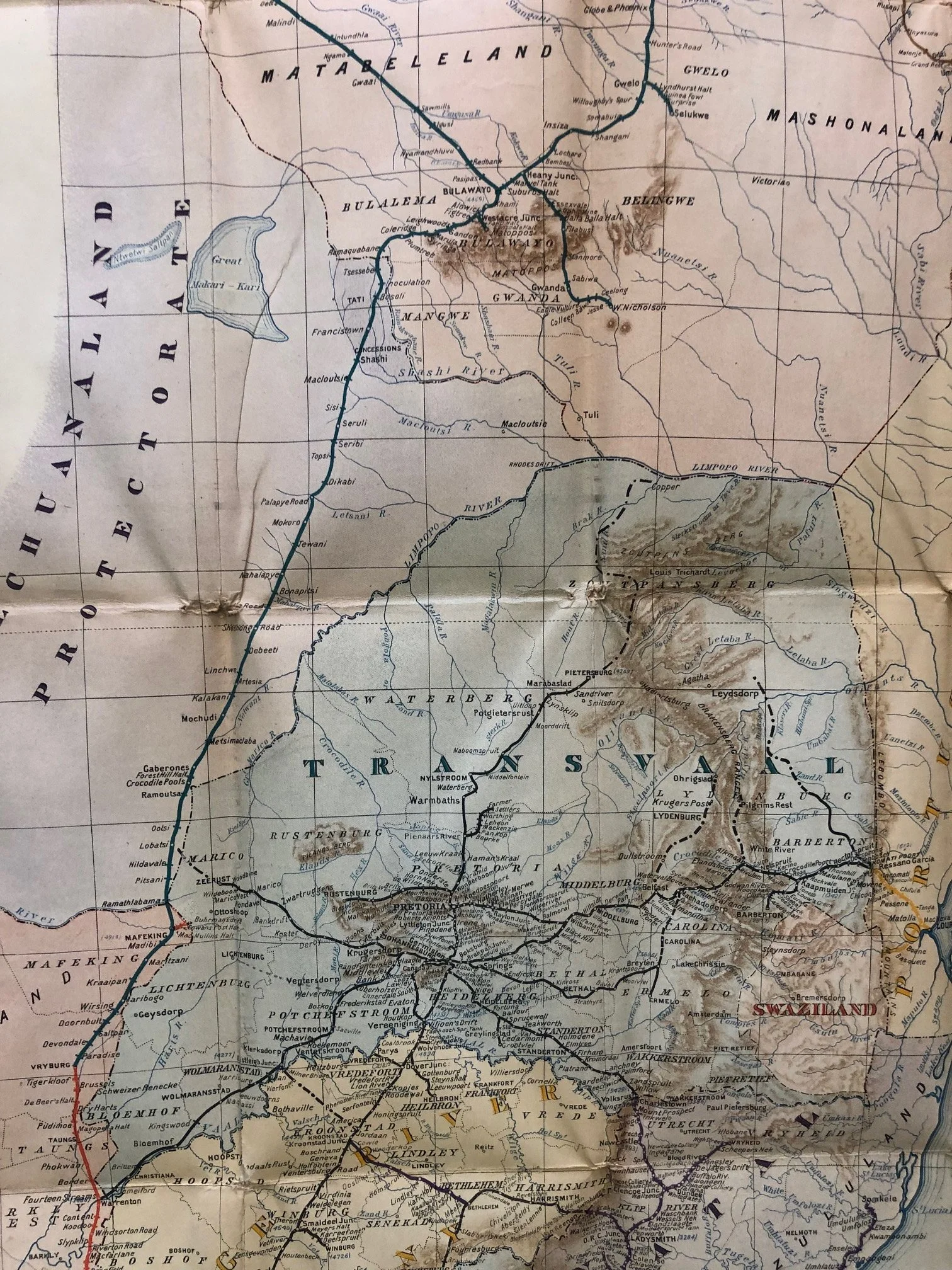
Just five years before this map was printed, the Central South African Railways (CSAR) represented by the thick black lines belonged to the Nederlandsche-Zuid-Afrikaansche Spoorwegmaatschappij (NZASM)—the railway network of the independent Boer South African Republic (Transvaal). During the Second Boer War, the British military seized control of the Boer republics' trains to secure their supply lines.
By 1907, the British colonial administration had merged the conquered Boer railway networks into the CSAR. The map shows a region heavily integrated under British imperial control, but still divided into separate colonial administrations (Cape Government, Natal Government, and CSAR) that would only unify politically three years later.
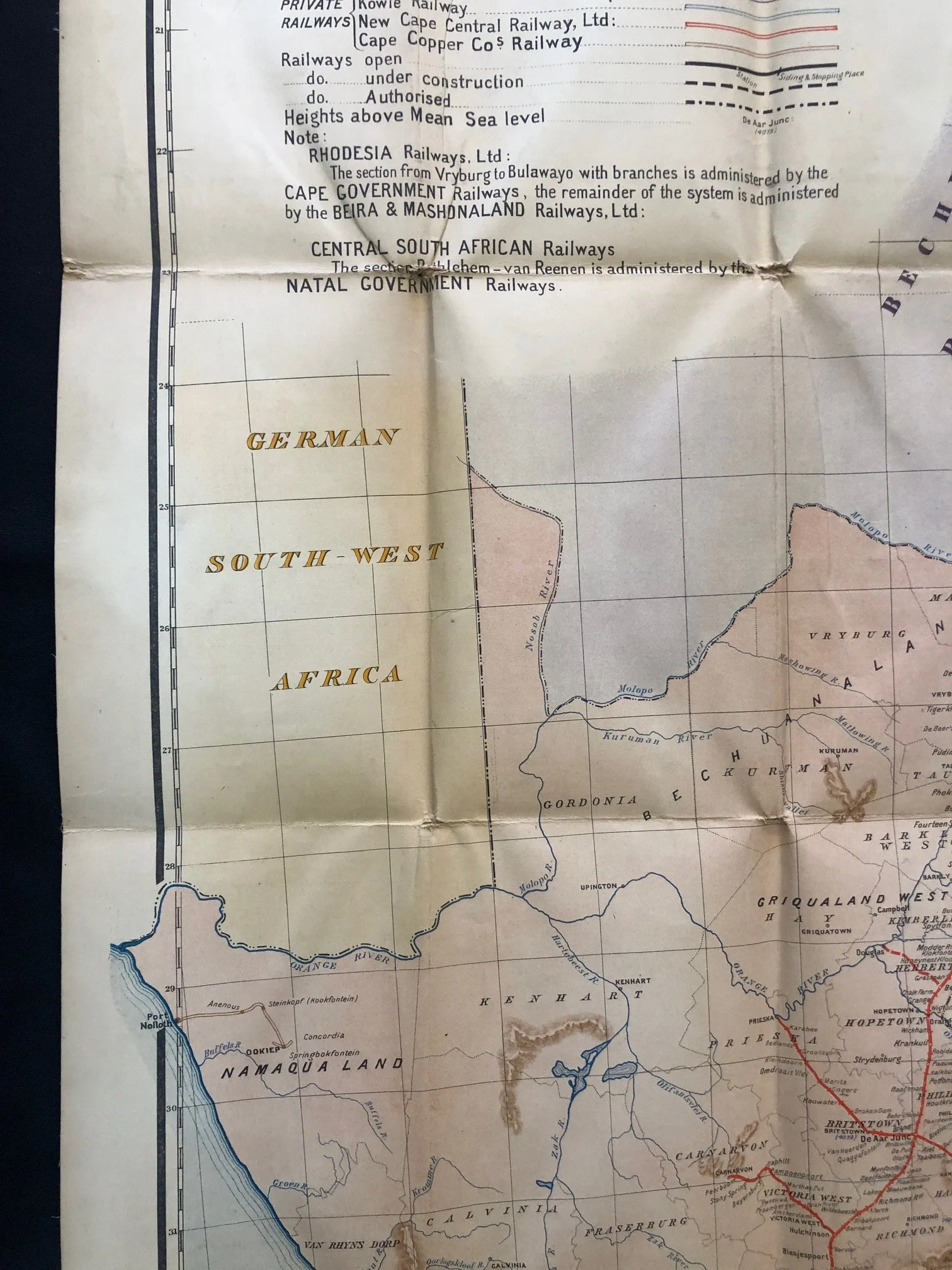
A Border That No Longer Exists: "German South-West Africa"
On the left side of the full map, you can see the eastern border of German South-West Africa (modern-day Namibia).
The "Rhodesia Railways" and the Unfulfilled Imperial Dream
The reference legend notes that the section of the Rhodesia Railways, Ltd. from Vryburg to Bulawayo was actually administered by the Cape Government Railways.
This line was the literal manifestation of Cecil Rhodes’ famous, grand imperial dream: the "Cape to Cairo Railway"—a continuous backbone of British-controlled steel running the entire length of the African continent. By 1907, the line had successfully pushed north past Victoria Falls, but as the map shows, the financial and logistical realities required different colonial governments to cooperatively manage segments of it just to keep the dream afloat.
A Note on the Mapmaking Technique
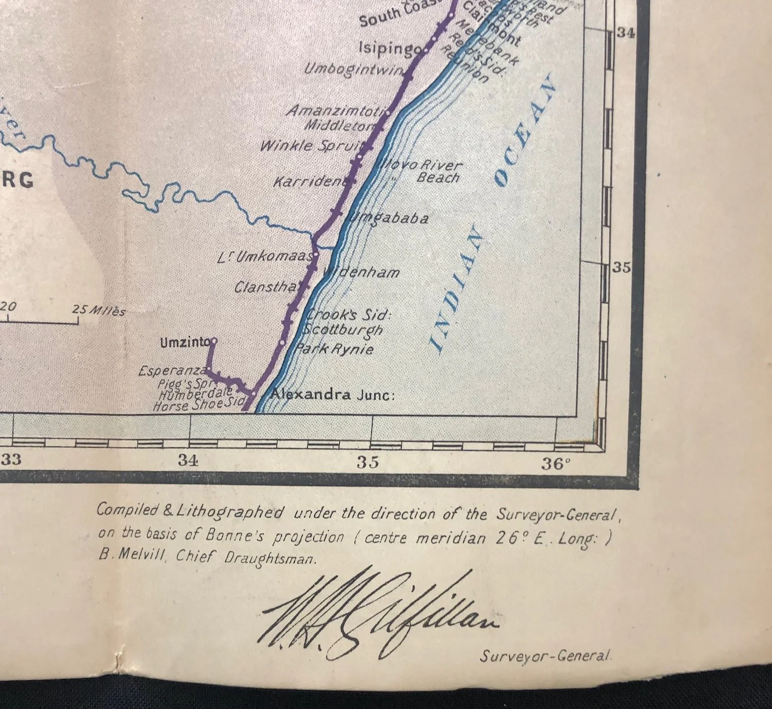
This map was created on the basis of Bonne's projection. This is an equal-area map projection that was highly popular in the 19th and early 20th centuries for mapping compact landmasses. However, because it distorts shapes increasingly as you move away from the center meridian, which runs right through the heart of the country near Bloemfontein and Johannesburg, it serves as a beautiful example of turn-of-the-century cartographic engineering before modern satellite projections took over.
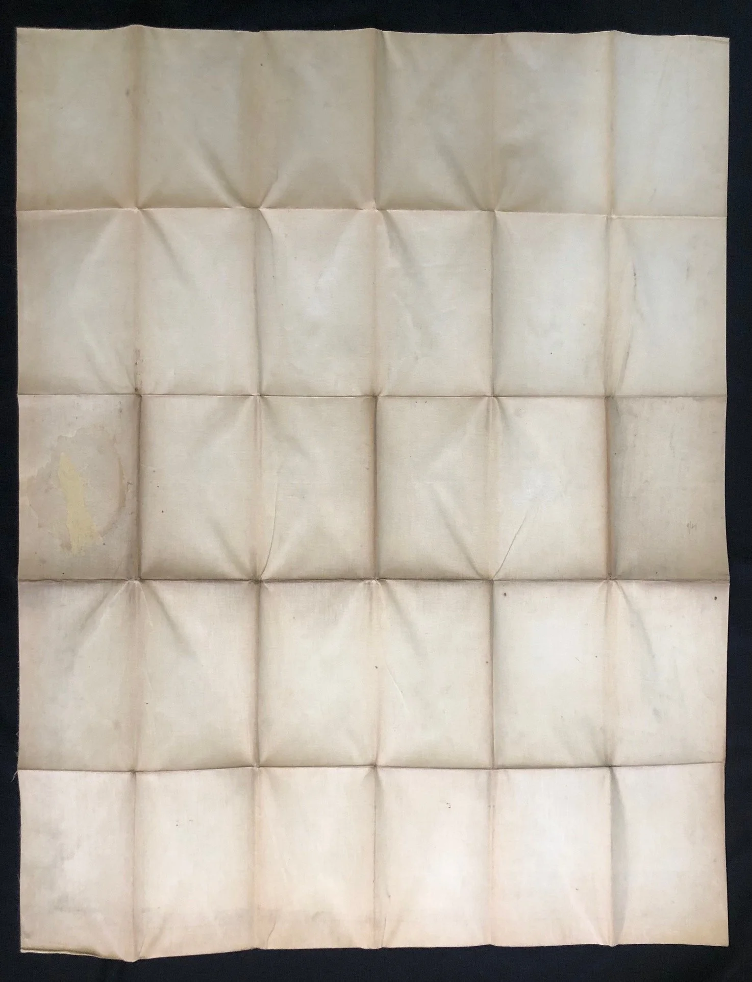
Minor age related staining to the back of the map. Glue residue from when this map was in a folder.
780mm x 1010mm
R7,500