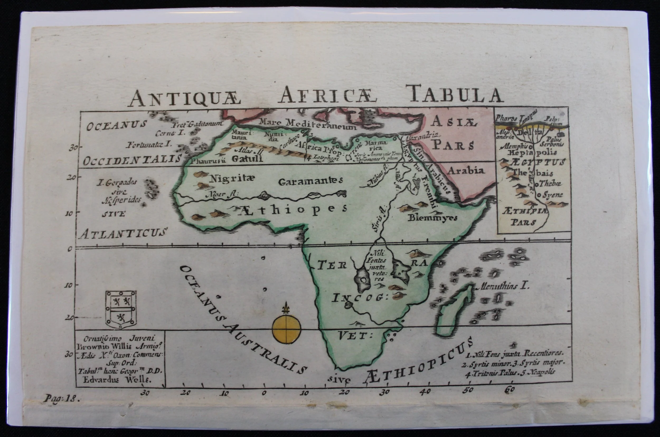
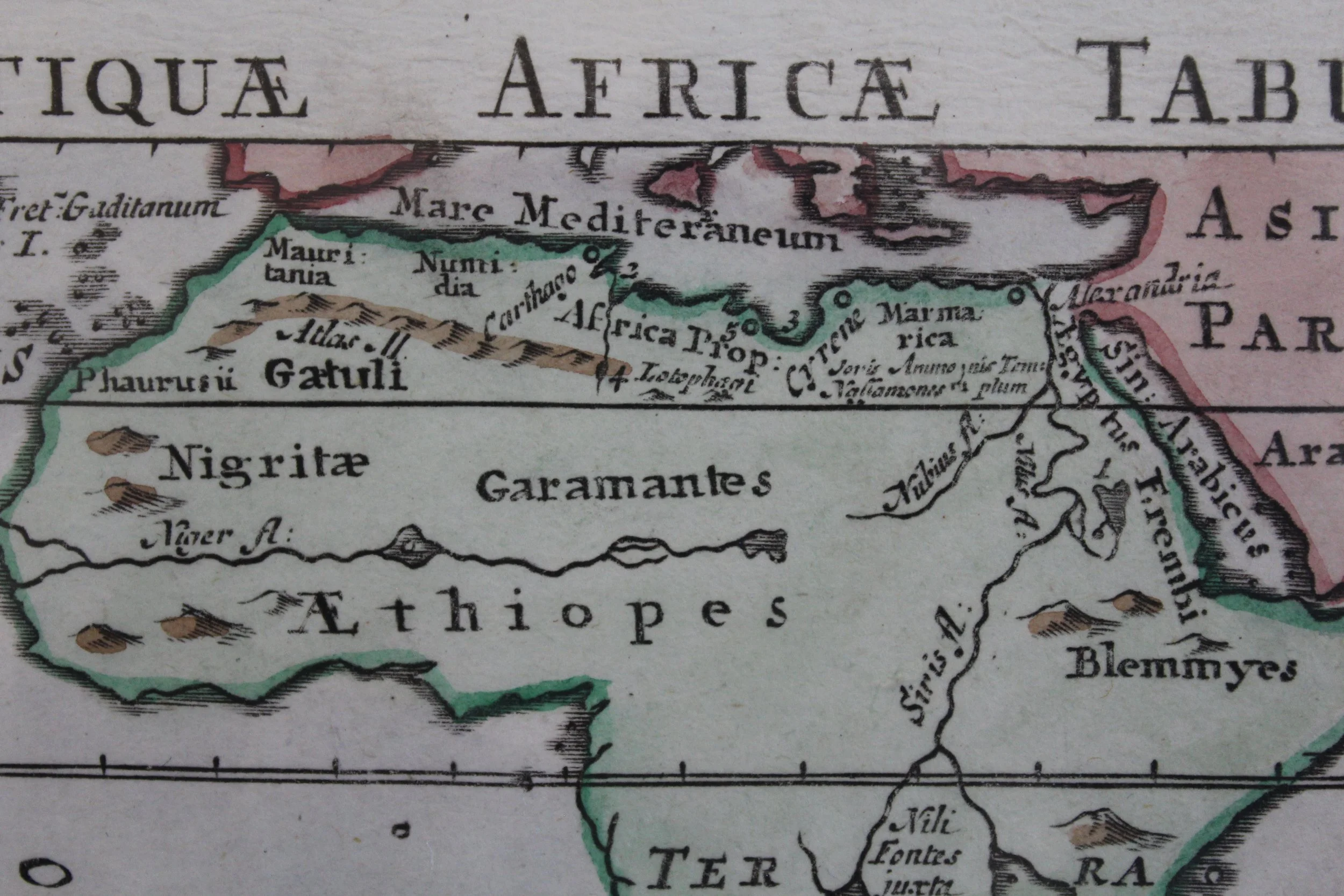
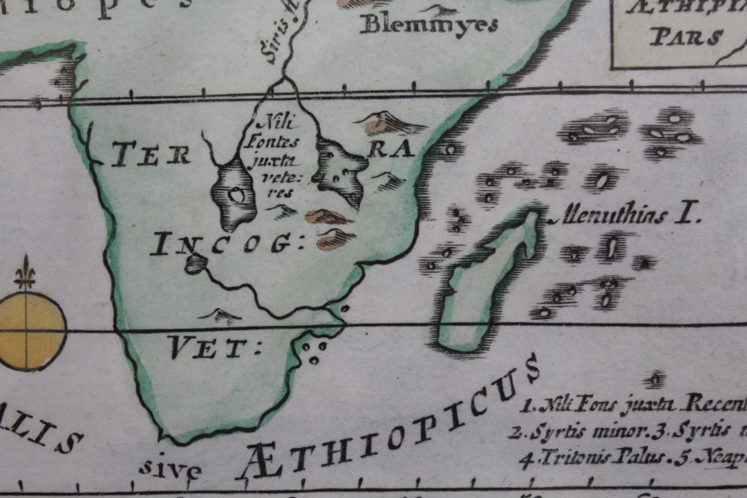
Ancient Map of Africa 1704
1704
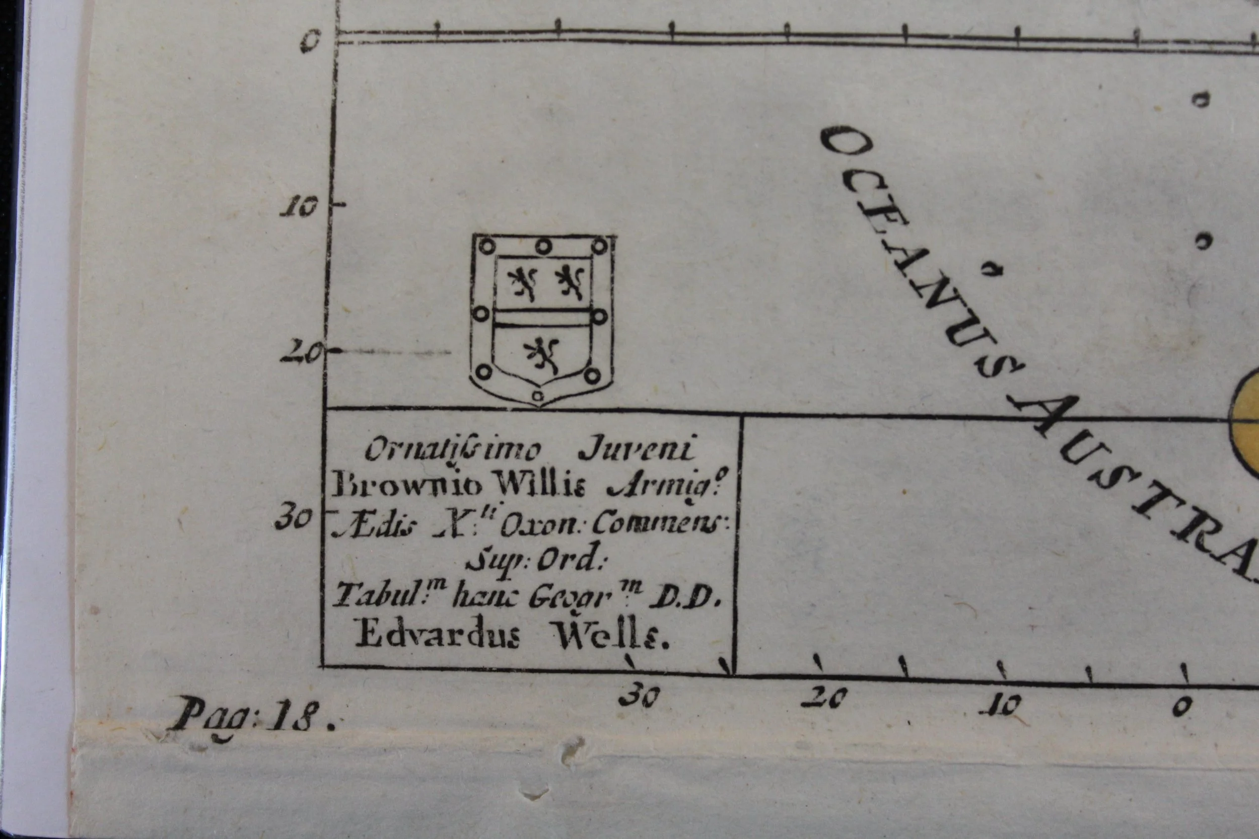
By Edward Wells (1703–1772)
Hand-coloured copperplate engraving.
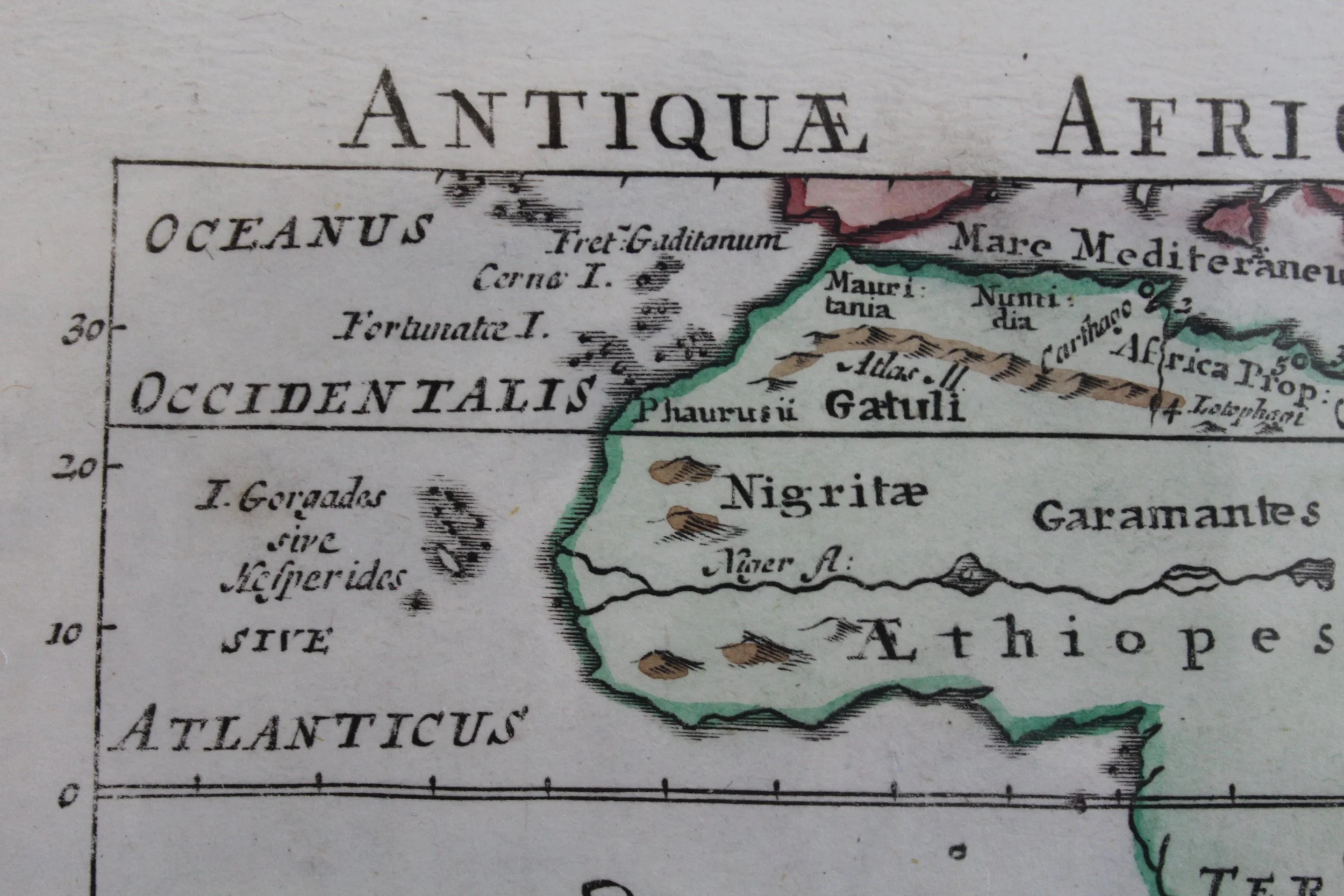
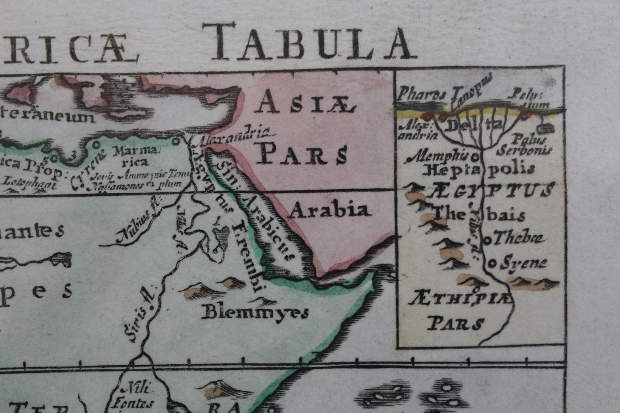
This uncommon map of Africa is a reduced version of Wells' larger map of Africa. From the popular school book "Tes palai kai tes nyn Oikoumenes Periegesis, sive Dionysii Geographia Emendata & Locupletata Additione scil. Geographiae Hodernae Græco Carmine pariter donatæ. Cum 16 tabulis geographicis. Ab Edv. Wells, A.M.", published by A. & J. Churchill in London circa 1704.
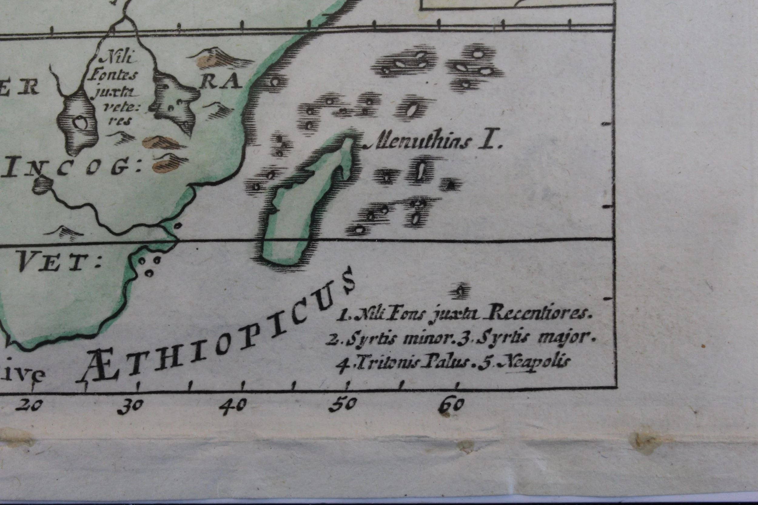
Creased along the bottom with some small tears along the crease line.
194 x 125mm
R2,000