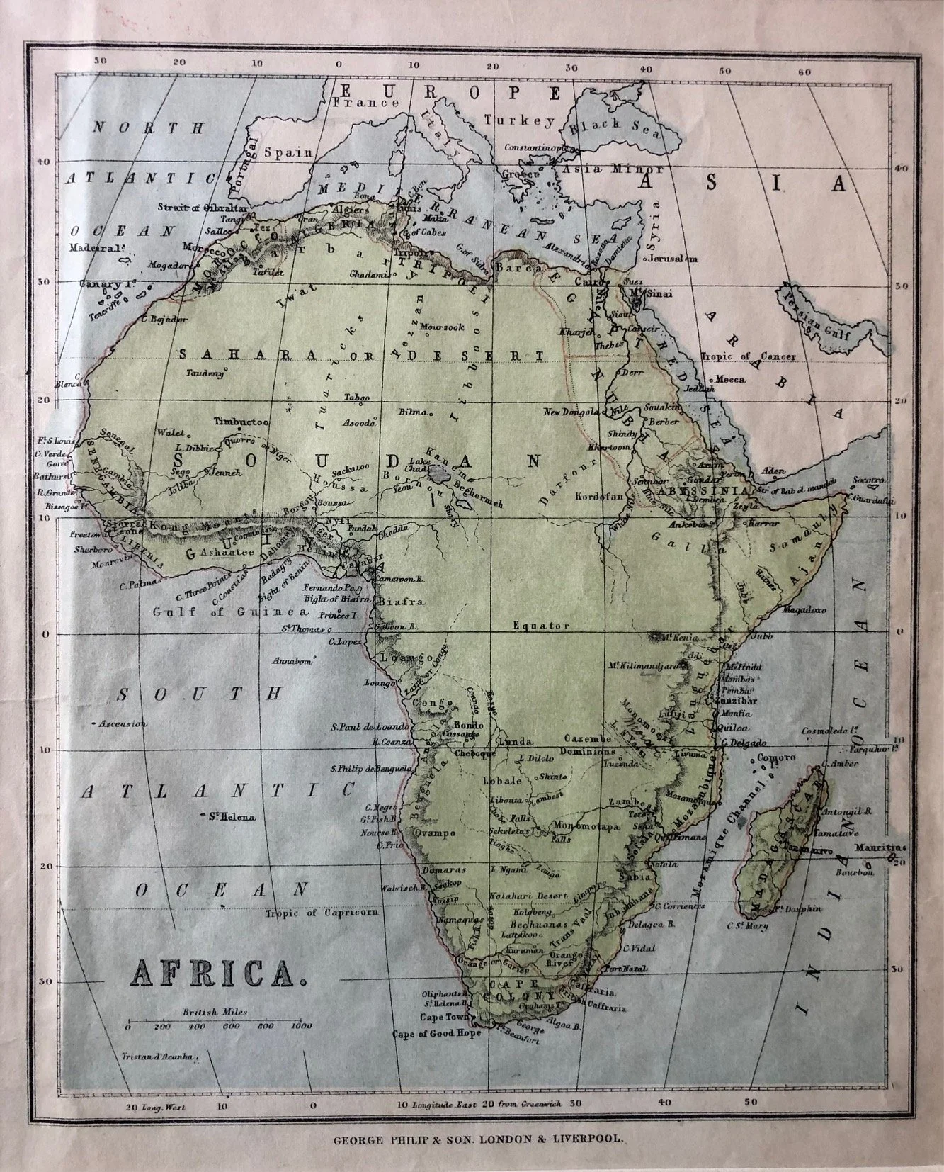
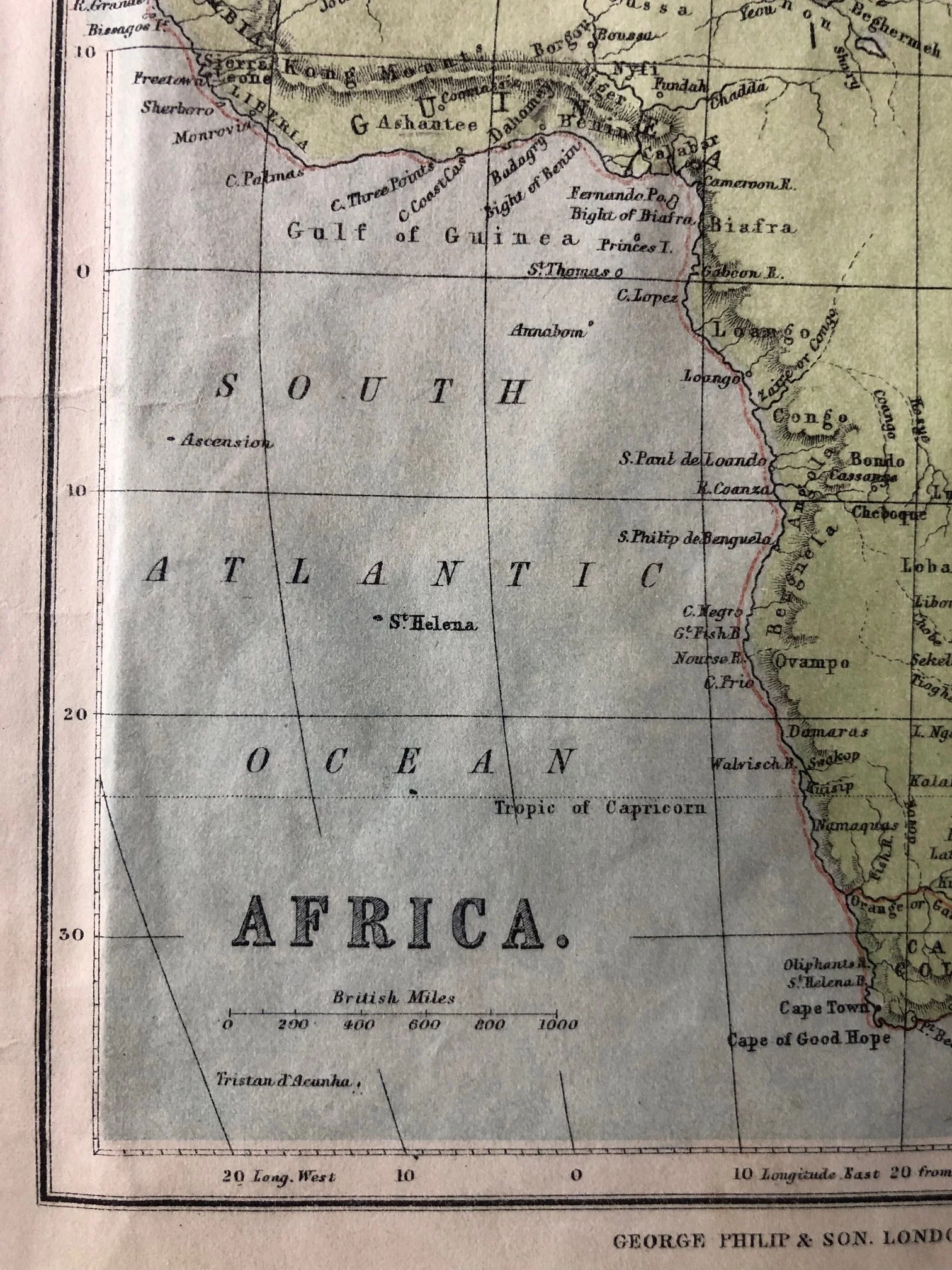
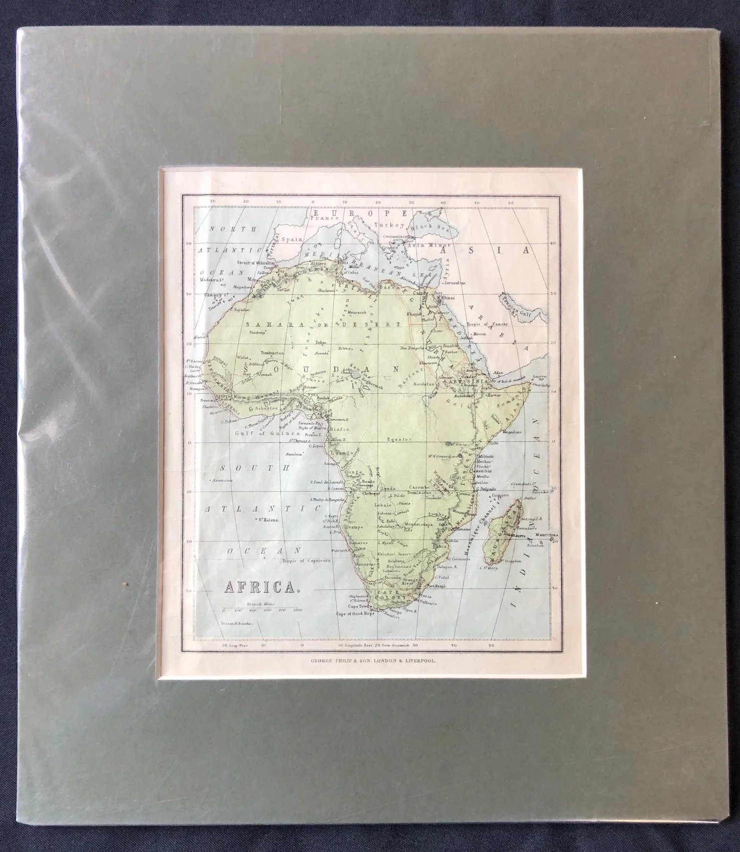
Map of Africa published by George Philip & Son (c.1890)
Chromolithograph.
This map, published by George Philip & Son in the mid-to-late 19th century captures Africa right on the brink of the "Scramble for Africa."
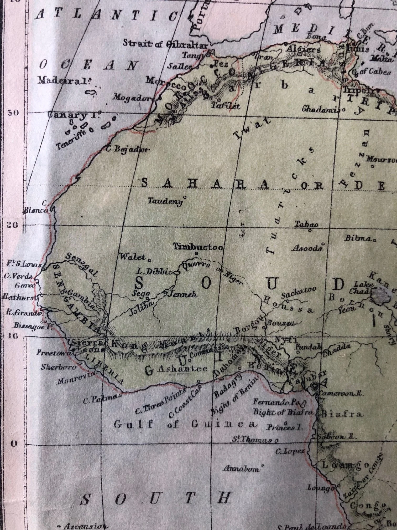
The most historically fascinating detail on this map is a massive geographical blunder clearly visible in the close-up view of the Kong Mountains ("Kong Mts"), stretching horizontally across West Africa just north of Liberia and Ashantee.
The Great Cartographic Phantom: The Mountains of Kong
The mountain range you see stretching across the continent does not exist. It is one of the most famous and enduring cartographic hoaxes—or honest mistakes—in history.
The Origin: The range first appeared on a map in 1798, created by English cartographer James Rennell. He misinterpreted data from the explorer Mungo Park and deduced that a massive, unbroken mountain range must run across West Africa to act as a watershed, splitting the Niger River from other regional rivers.
The Echo Chamber: Once Rennell put it on his map, other prominent publishers—including George Philip & Son, copied it as gospel. For nearly a century, almost every school atlas in the world depicted this colossal, fictional mountain range.
The Exposure: It wasn't until 1888 (decades after this map was printed) that French explorer Louis-Gustave Binger actually travelled to the region and established once and for all that there were no mountains there at all—just a open plateau. The mountains were finally expunged from world atlases in the 1890s.
A Continent in Transition
Beyond the phantom mountains, shows a continent half-revealed to western eyes:
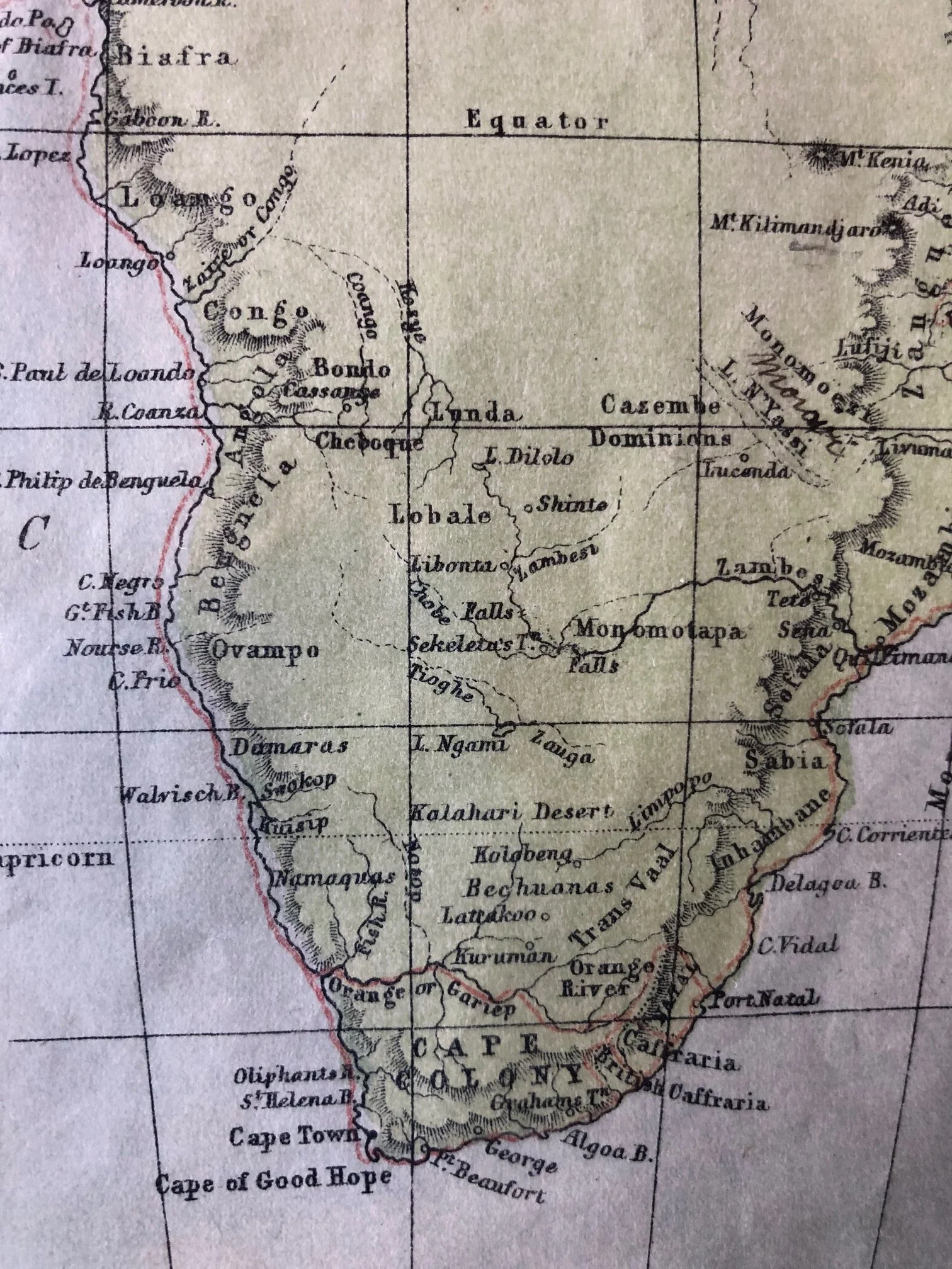
The Detailed Coast vs. The Blank Centre: The coastlines and river mouths are intensely detailed due to centuries of maritime trade, but the centre of Central and East Africa remains largely white and unexplored by European mapmakers.
Pre-Scramble Political Borders: Note the independent native kingdoms like Ashantee and Dahomey. As well as early colonial footholds like Liberia (established for emancipated American slaves). In the south, the region is divided into the British Cape Colony, Natal, and the early Boer republics (Trans Vaal), long before the borders of modern African nations were arbitrarily drawn at the Berlin Conference of 1884–1885.
180mm x210mm
R1,000