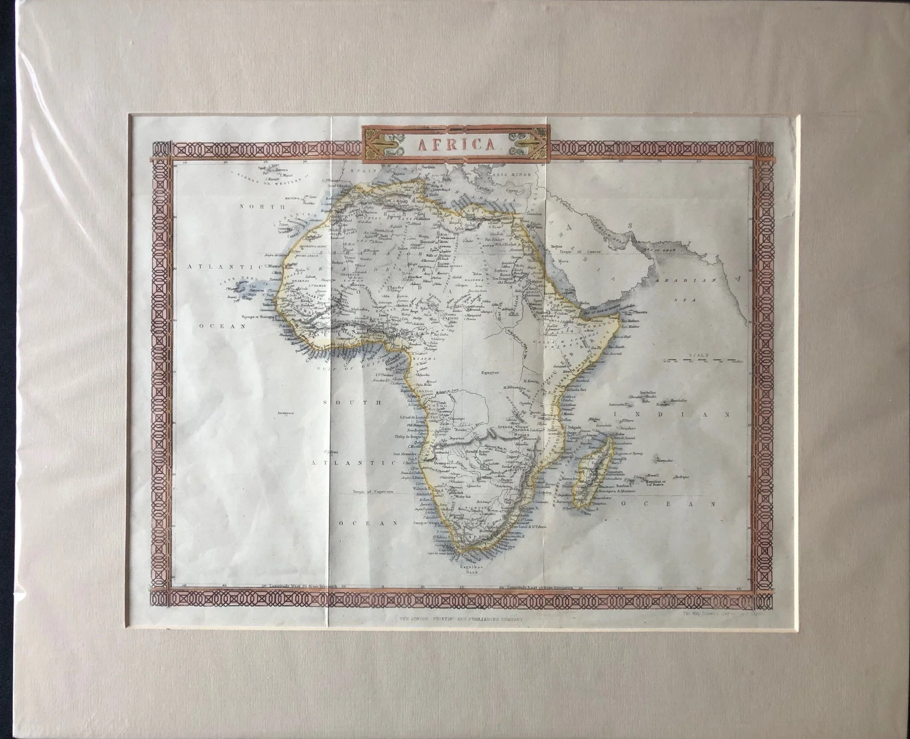
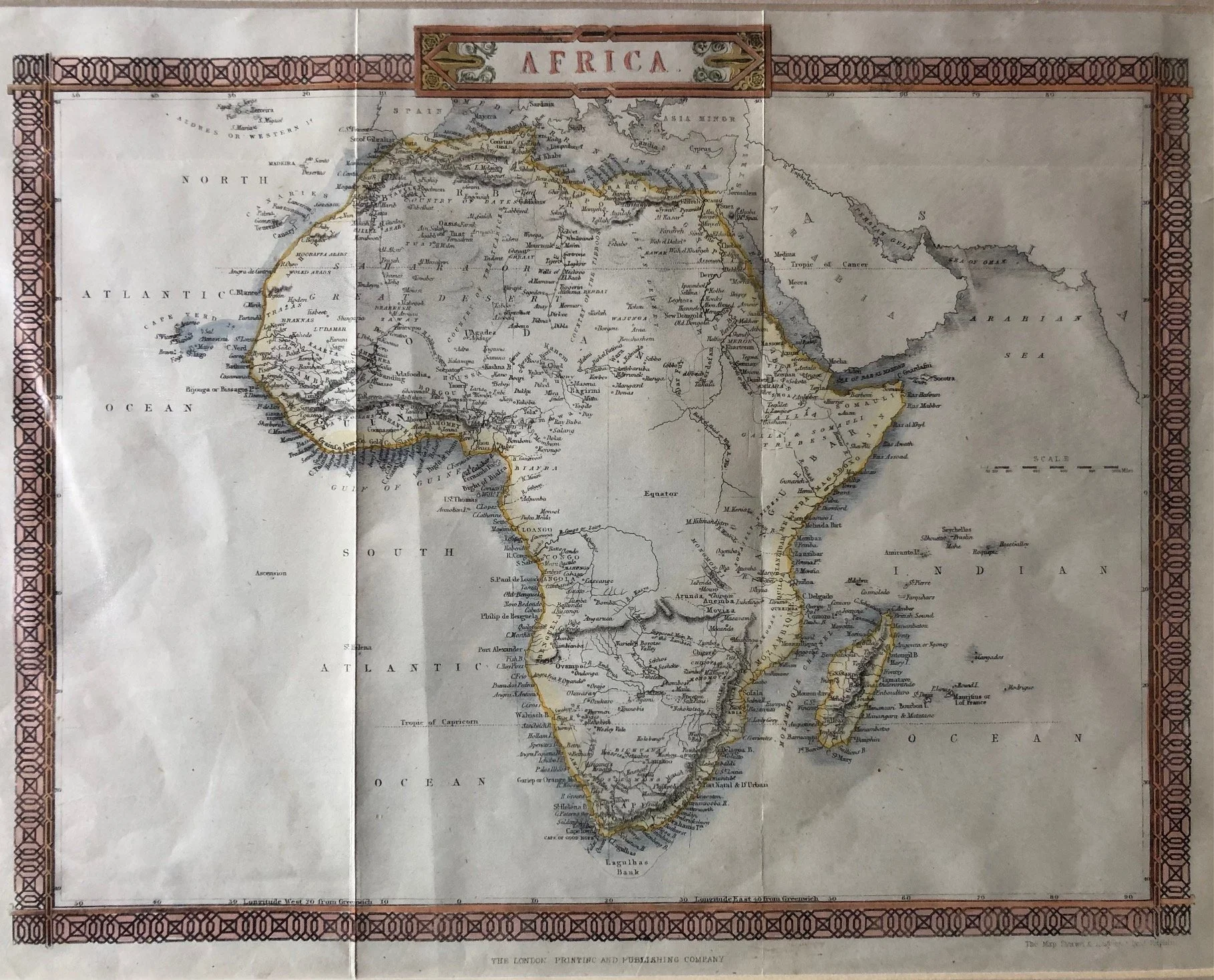
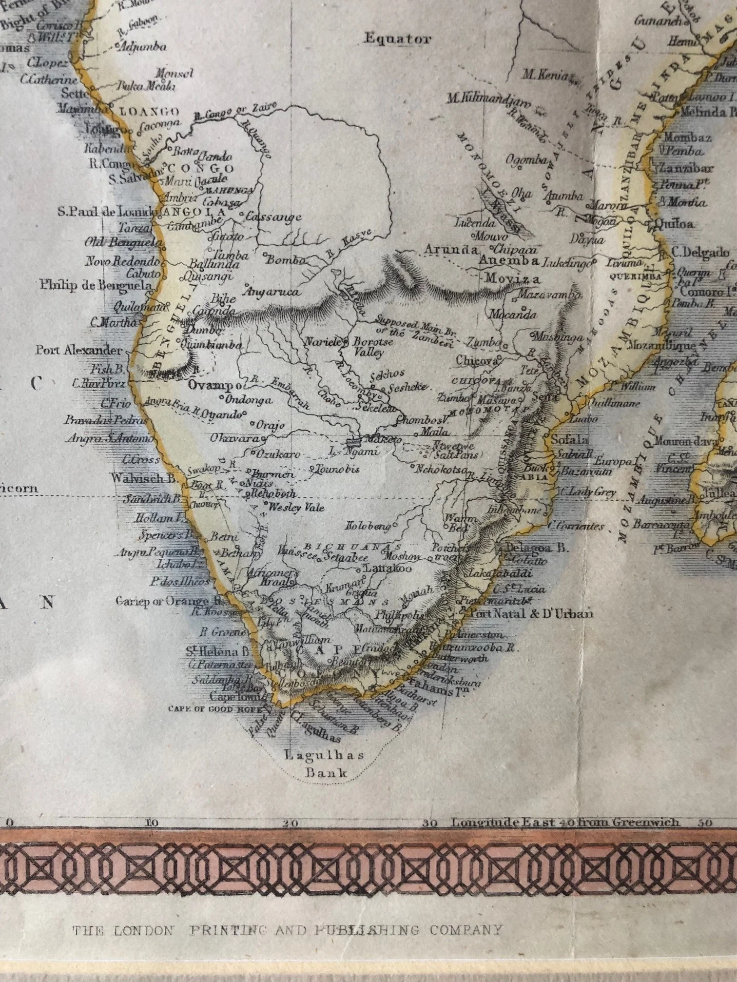
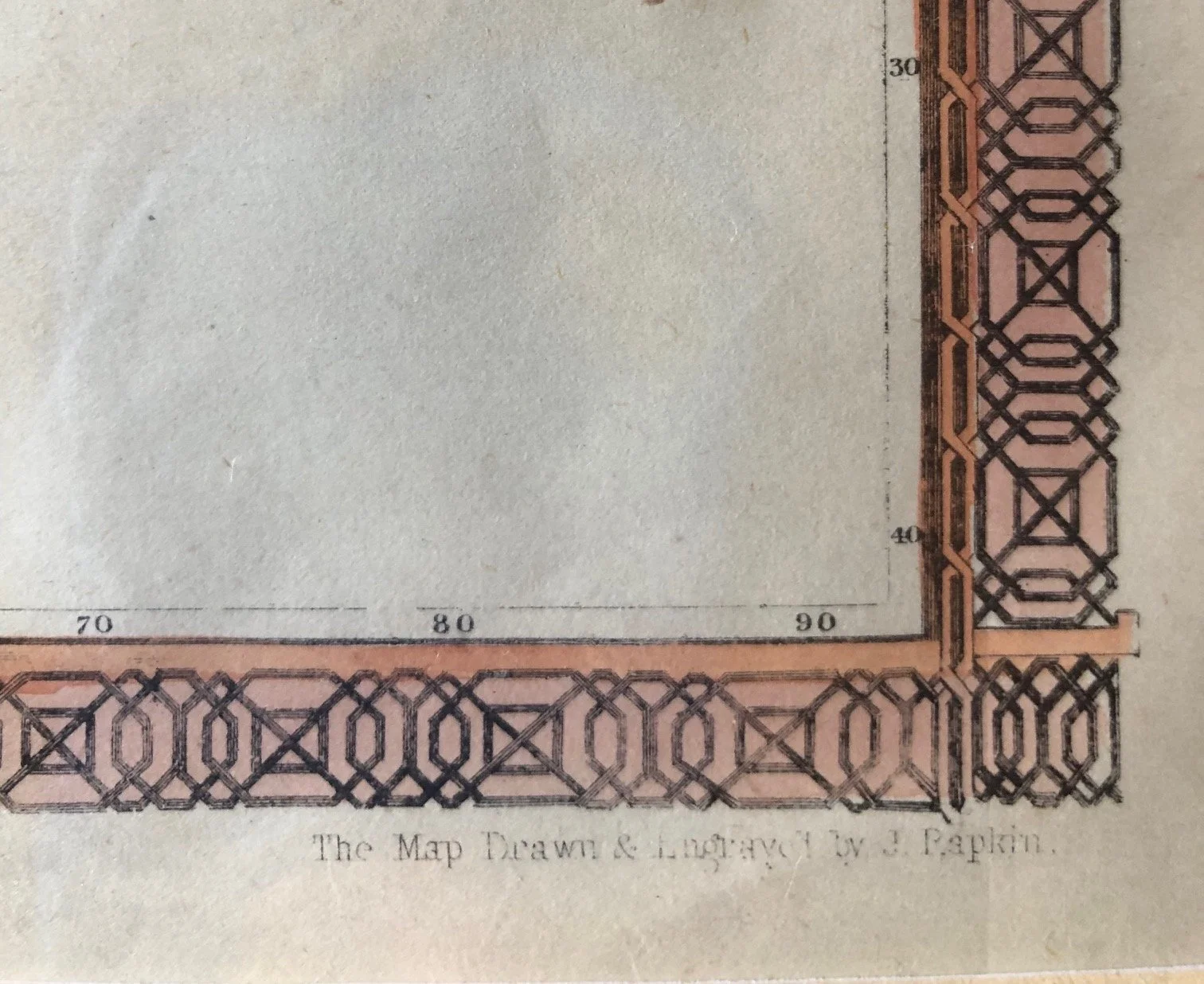
Map of Africa engraved by John Rapkin (c.1850)
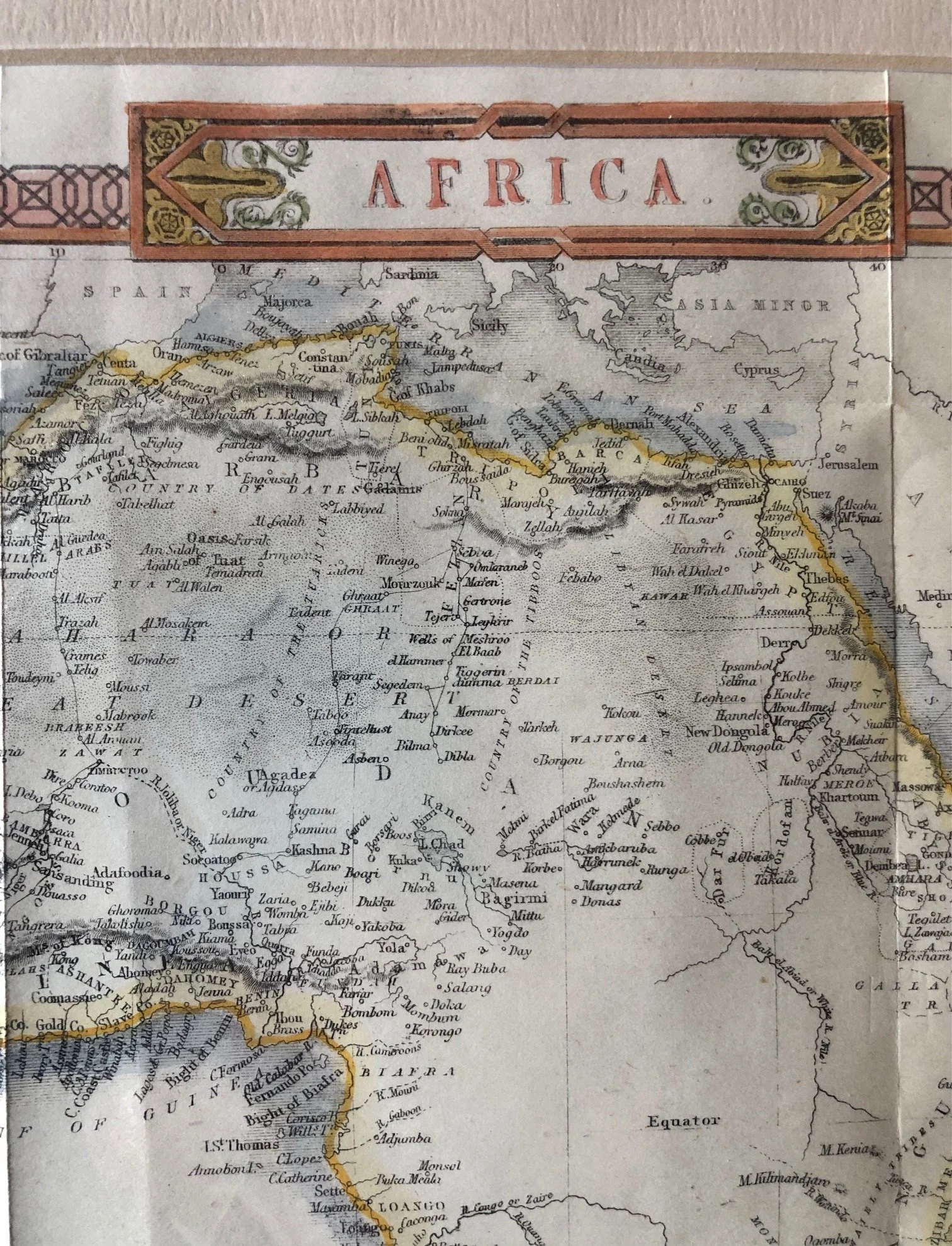
This map—drawn and engraved by John Rapkin and published by the London Printing and Publishing Company—features one of the most famous cartographic myths in history: The Mountains of Kong.
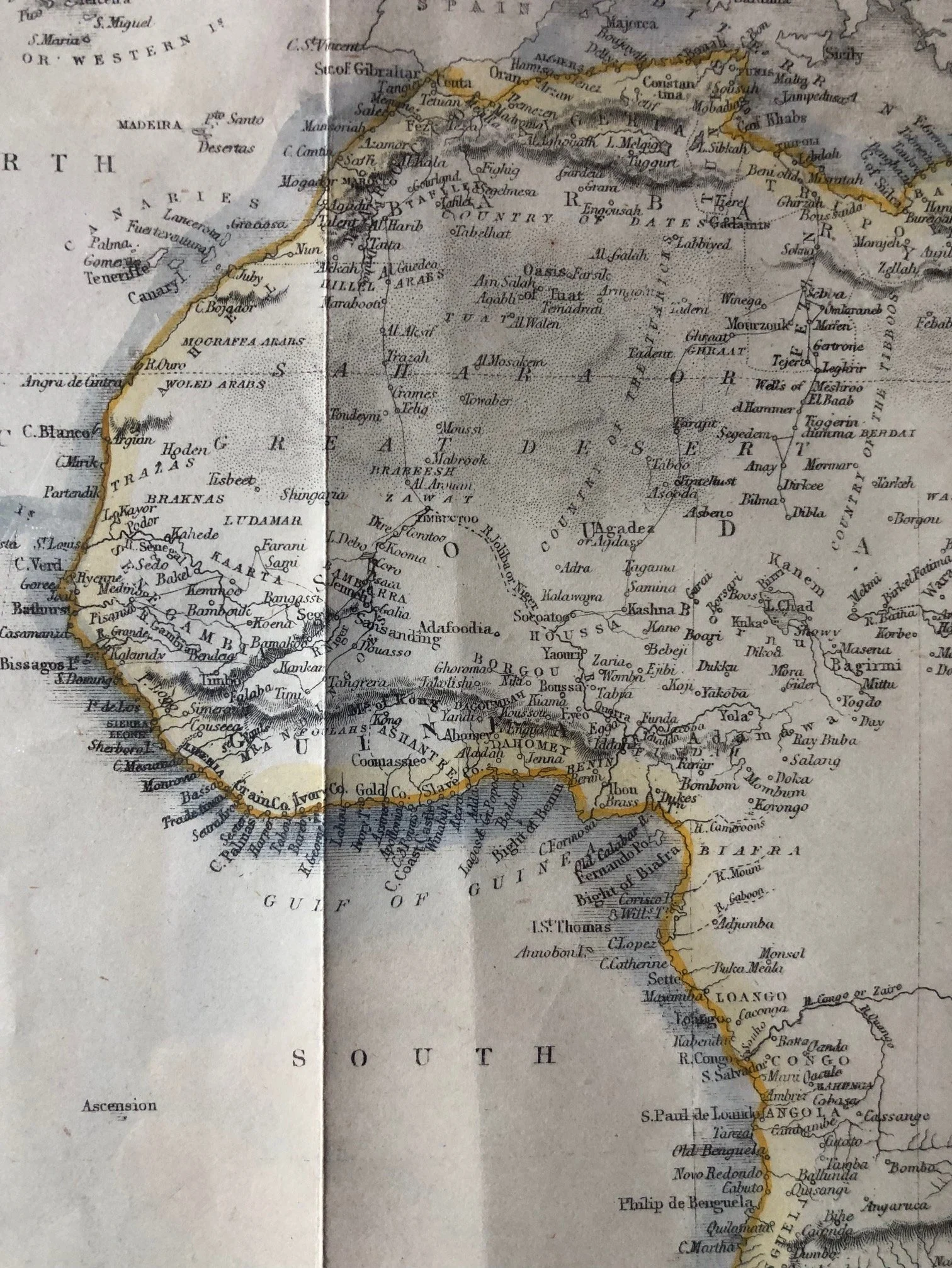
Note the West African region, just north of the "Ashantee" and "Gold Coast" regions, you can clearly see the label "Mts. of Kong" stretching across the continent.
The Myth of the Kong Mountains
The non-existent mountain range first appeared on maps in 1798. It was popularized by James Rennell, a prominent English geographer, who miscopied or misinterpreted the travel journals of explorer Mungo Park. Rennell illustrated a massive, unbroken chain of mountains running from west to east across Africa.
Once a respected geographer placed them on a map, other cartographers copied the data for nearly a century without verification. On mid-19th-century maps like this one, they served as a convenient explanation for why the interior of West Africa remained largely unexplored, acting as a perceived natural barrier.
The fictional range survived on official maps until the late 1880s. In 1889, French explorer Louis-Gustave Binger thoroughly explored the Niger River region and officially proved that the Mountains of Kong simply did not exist.
This map stands as a fascinating snapshot of a time when European cartography blended empirical coastal data with pure geographic speculation for the continent's interior.
360mm x 275mm
Hand coloured engraving. Small peripheral tears; creasing.
R2,500