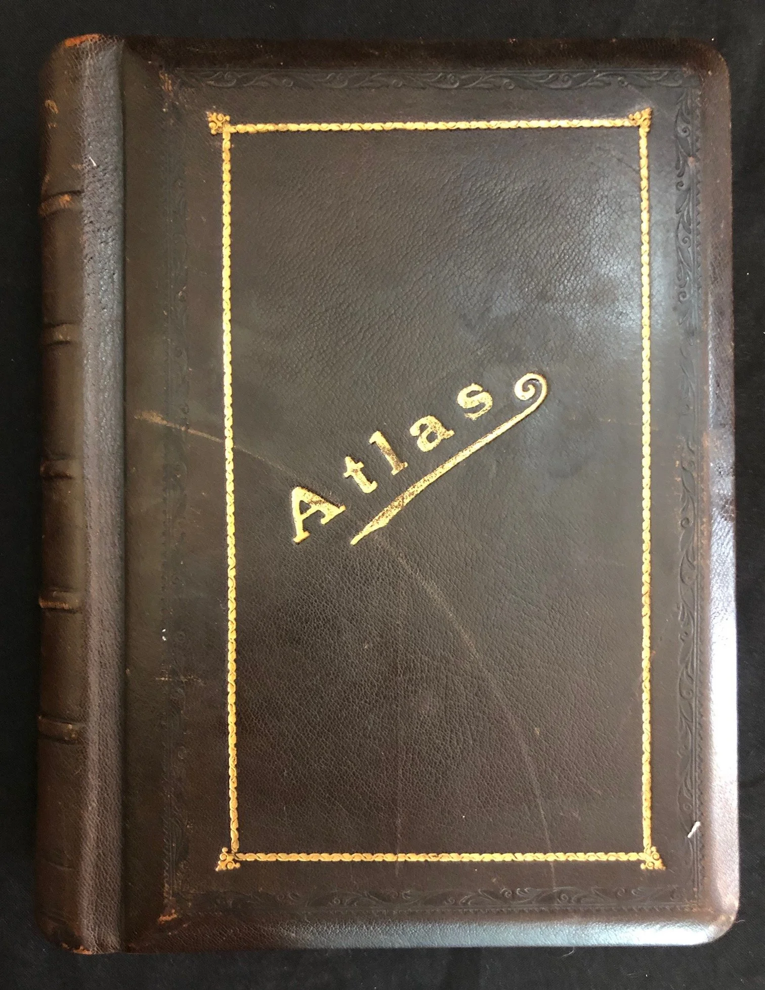
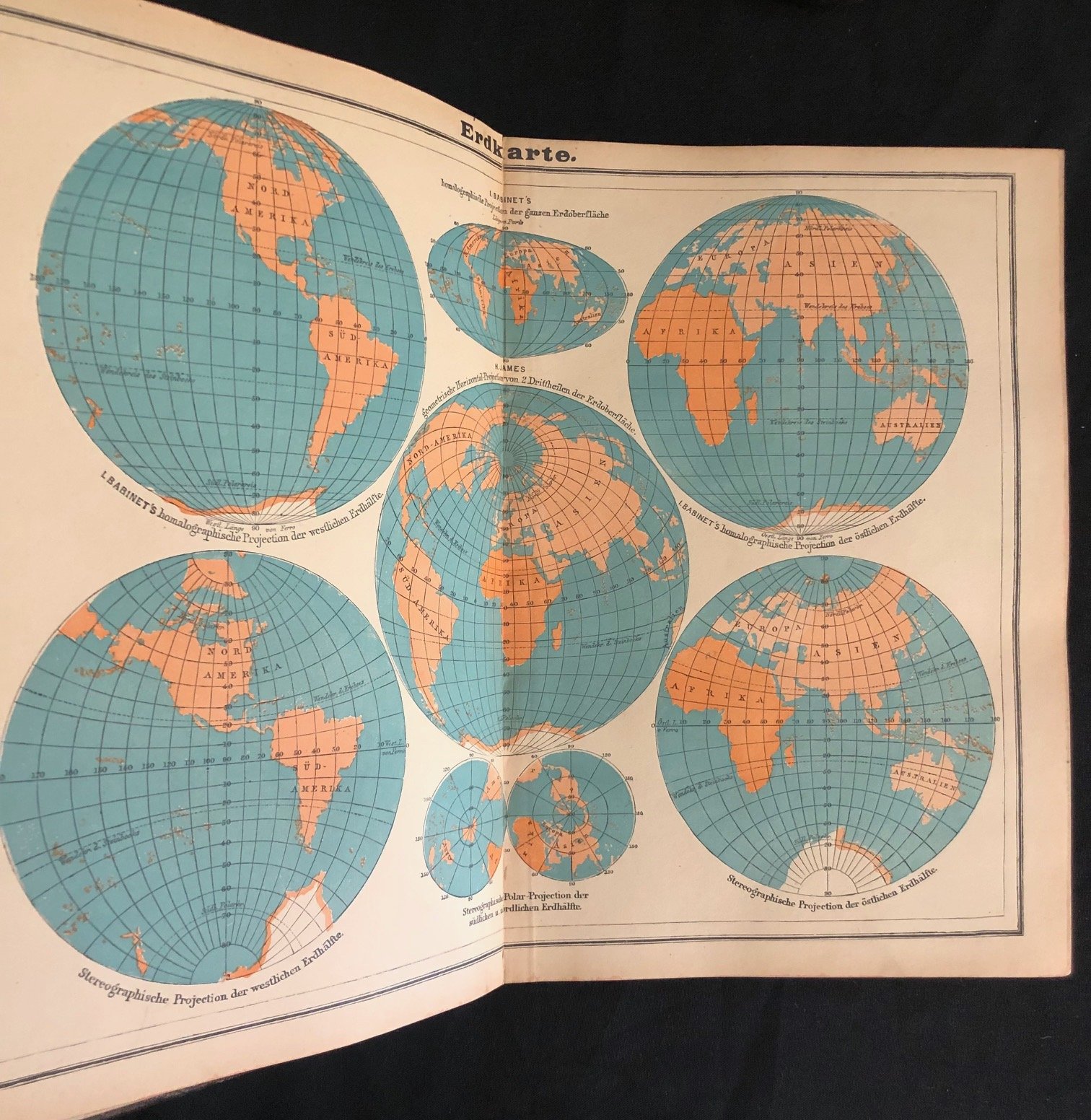
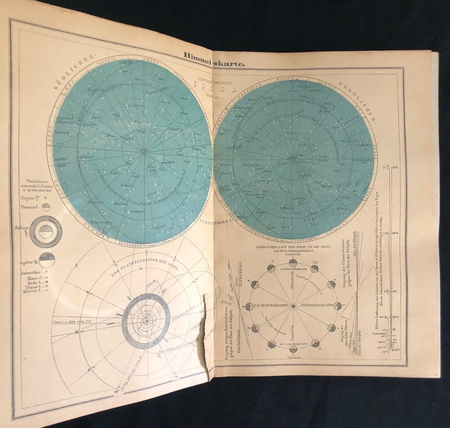
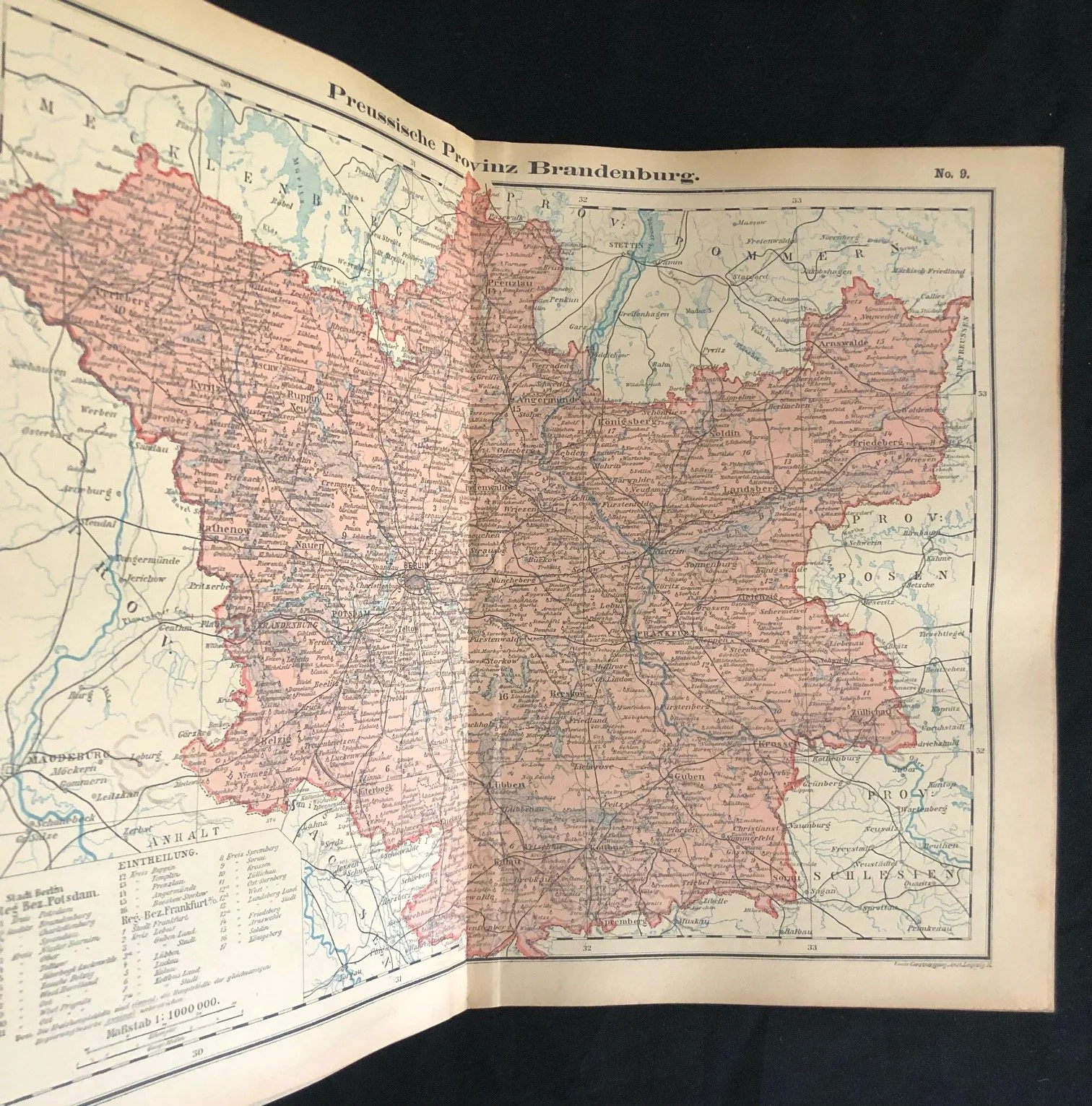
A late 19th- or turn-of-the-20th-century German hand Atlas
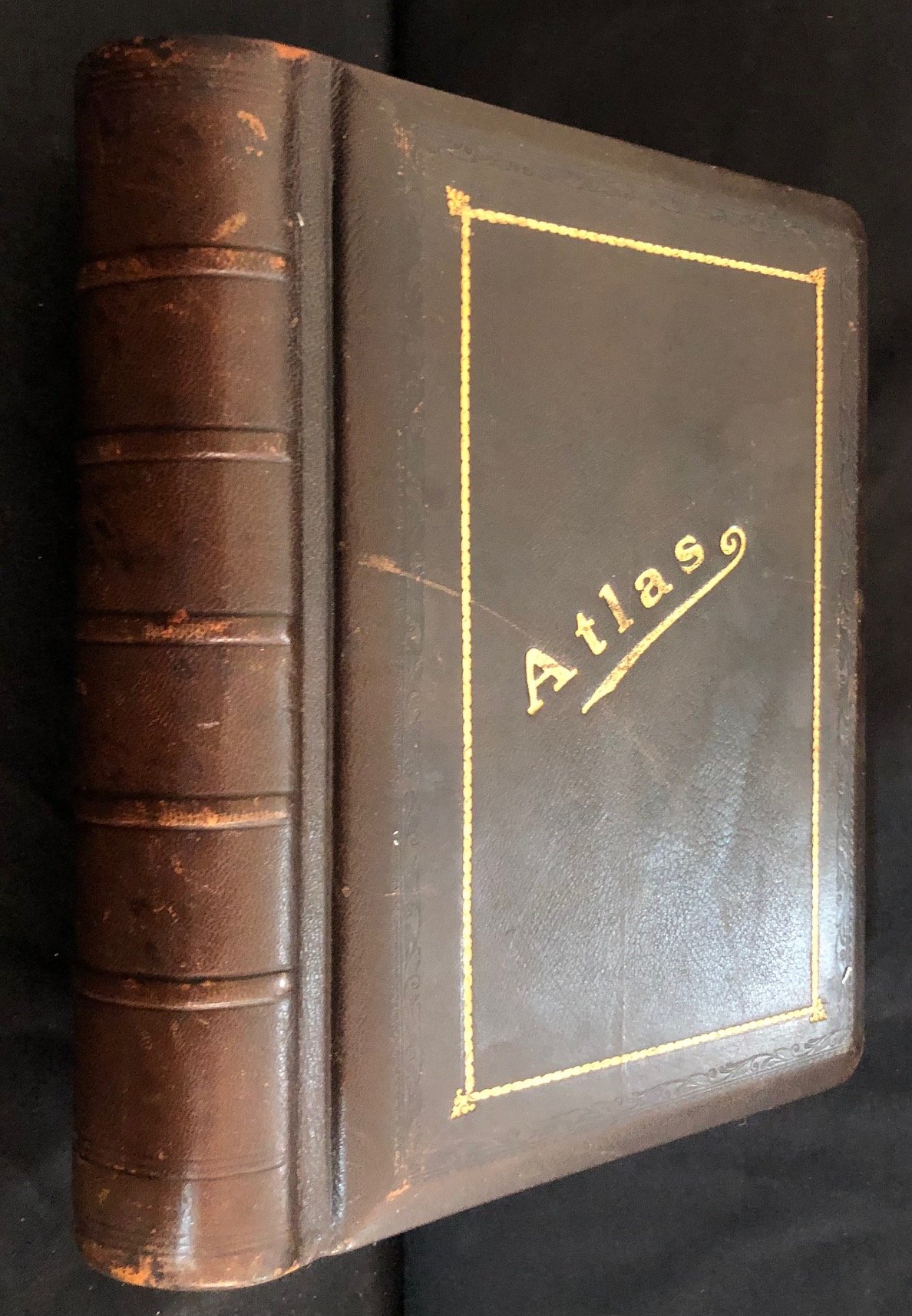
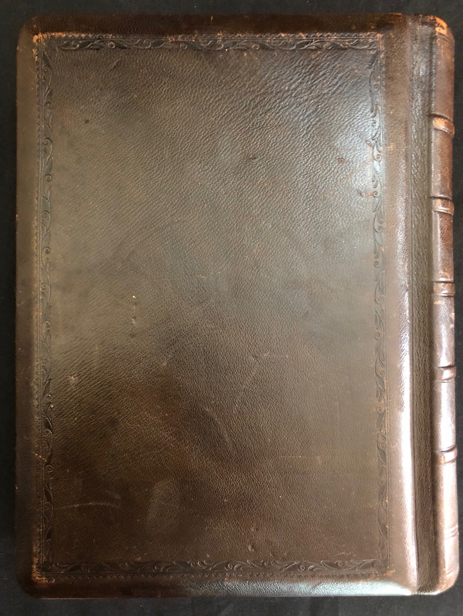
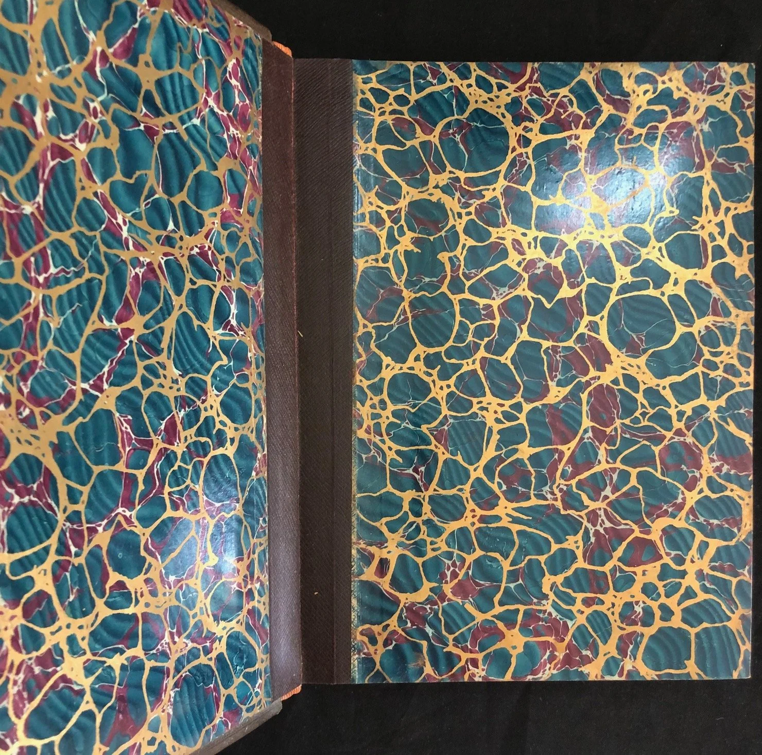
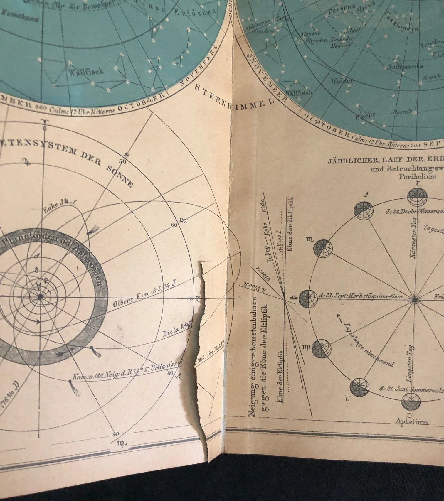
Wear to edges of the full leather binding; one map torn. Not paginated, no title page etc. However, appears to be complete.
This volume is a late 19th- or turn-of-the-20th-century German hand atlas (likely a edition of the Meyers Hand-Atlas or a similar work published by the Bibliographisches Institut or Carl Flemming around 1890–1905).
A few compelling historical details stand out:
Cosmic & Terrestrial Scope: Like many major European atlases of this era, it doesn't just map the Earth—it places humanity in the broader universe. The celestial map plate (Himmelskarte) includes detailed charts for the Northern and Southern celestial hemispheres, planetary orbits, and a solar system model (Das Planetensystem der Sonne).
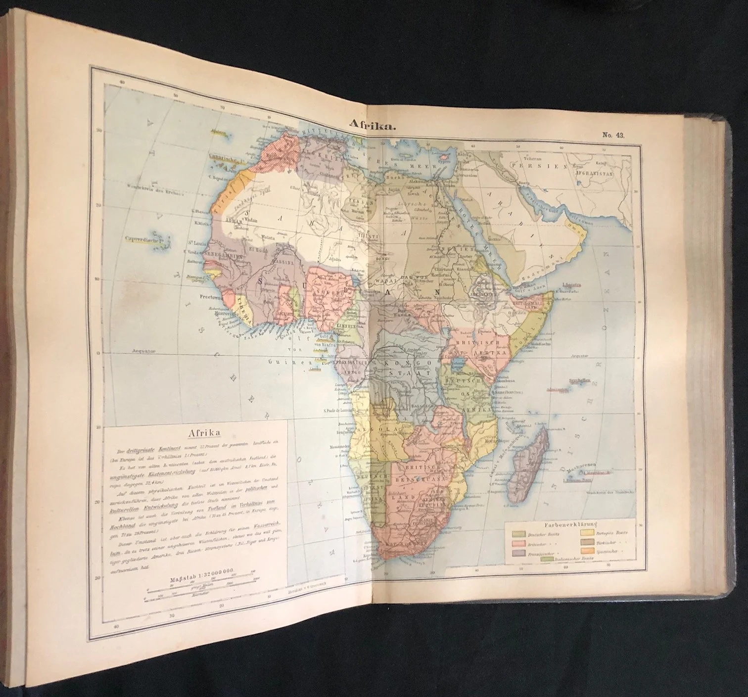
Snapshot of the "Scramble for Africa": Map No. 43 (Afrika) captures a pivotal era in colonial geopolitics. Looking closely at the boundary lines, it reflects the rapid division of the continent following the Berlin Conference (1884–1885), showing early colonial entities like the Kongo-Staat (Congo Free State) and Deutsch-Südwestafrika before the full consolidation of 20th-century borders.
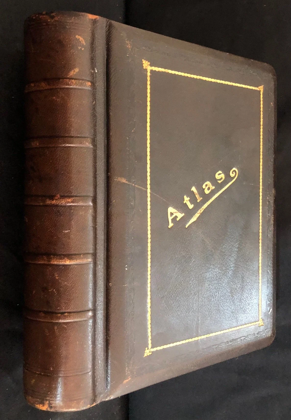
Binding & Typography: The volume features classic period publisher's binding—rich leather-grained cloth with gilt title lettering (Atlas), raised bands along the spine, and blind-stamped perimeter borders.
The inclusion of both astronomical plates and detailed colonial-era cartography makes volumes like this a fascinating cross-section of late Victorian-era science and geography.
225 x 290 x 60mm
R3,000