East Indian Archipelago with Burma and Siam
c.1895-8
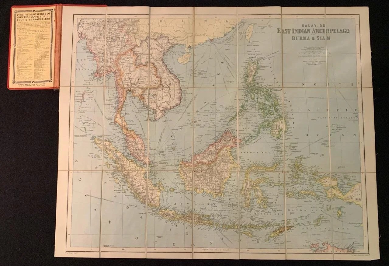
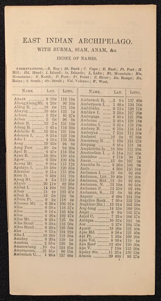
This is a late 19th-century folding pocket/traveller's map of Southeast Asia published by George Philip & Son in London. Bibliographical IdentificationTitle: Malay, or East Indian Archipelago, Burma & Siam Series: Philips' New Series of Imperial Maps for Tourists & Travellers (as seen on the publisher's label pasted inside the red cloth cover, top left) Publisher: George Philip & Son, London & Liverpool (with C.S. Hammond & Co. noted on the label as a US distributor)
Date: Circa 1895–1898
Format: Dissected and mounted on linen in 28 panels, designed to fold into red cloth cover boards for durability during travel. Geopolitical & Mapping HighlightsThe map reflects the colonial division of Southeast Asia in the late Victorian era:
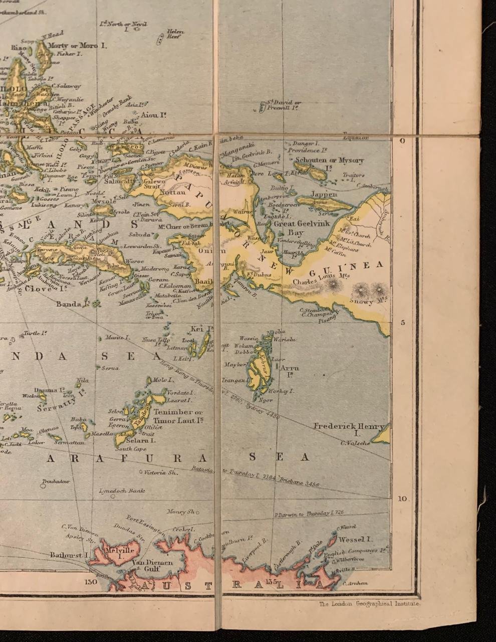
British Holdings: Outlined in pink/red, including Burma (annexed to British India following the Third Anglo-Burmese War in 1885), the Straits Settlements (Singapore, Malacca, Penang), the Federated Malay States, and British North Borneo / Sarawak. Dutch East Indies: Outlined in yellow/orange across the vast archipelago (Sumatra, Java, southern Borneo, Celebes, the Moluccas, and western New Guinea). French Indochina: Covering Tonkin, Annam, Cochin-China, Cambodia, and expanding influence into Laos. Kingdom of Siam (Thailand): Positioned as a buffer state between British Burma/Malaya and French Indochina. Spanish Philippines: Shown before the Spanish-American War of 1898, after which control transferred to the United States. Format & Collector Appeal Dissected folding maps from Philips' Imperial series are popular in the antiquarian trade due to their sturdy linen-backed construction, hand-colored outlines, and vivid publisher's paste-down covers.
Boards detached; spine torn along the entire edge; sellotape residue on boards.
670mm x 535mm
R1,500