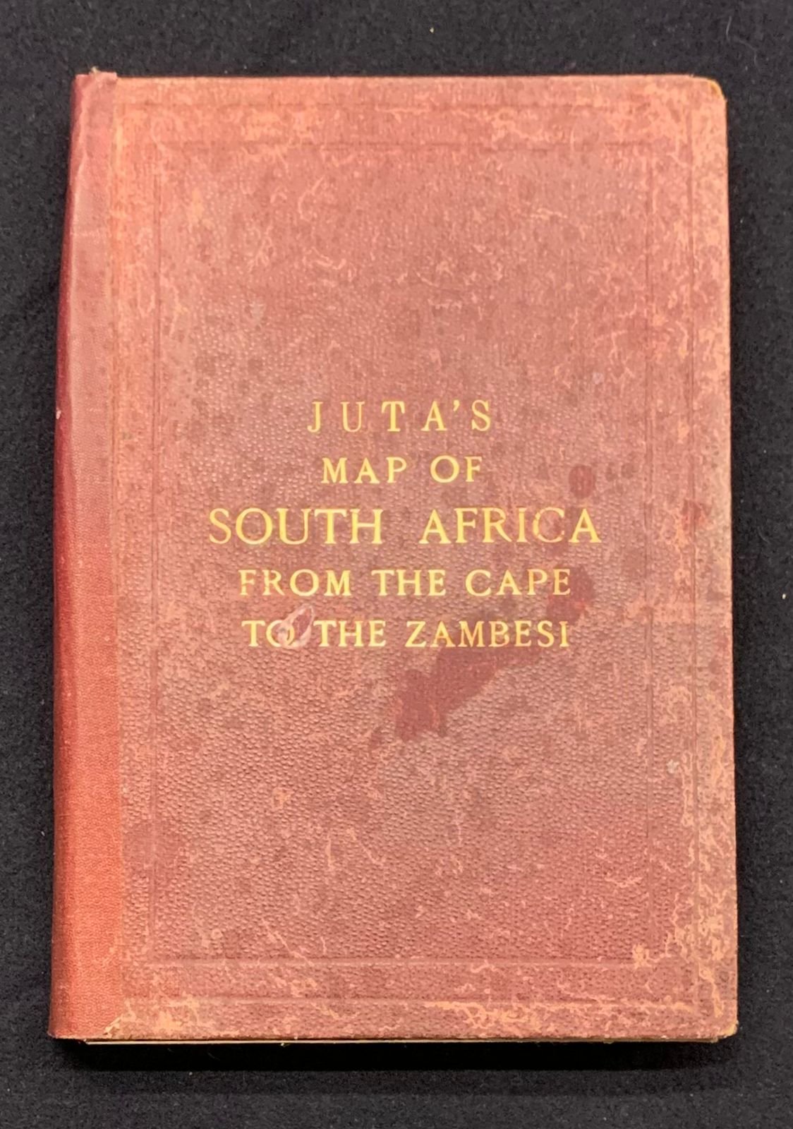
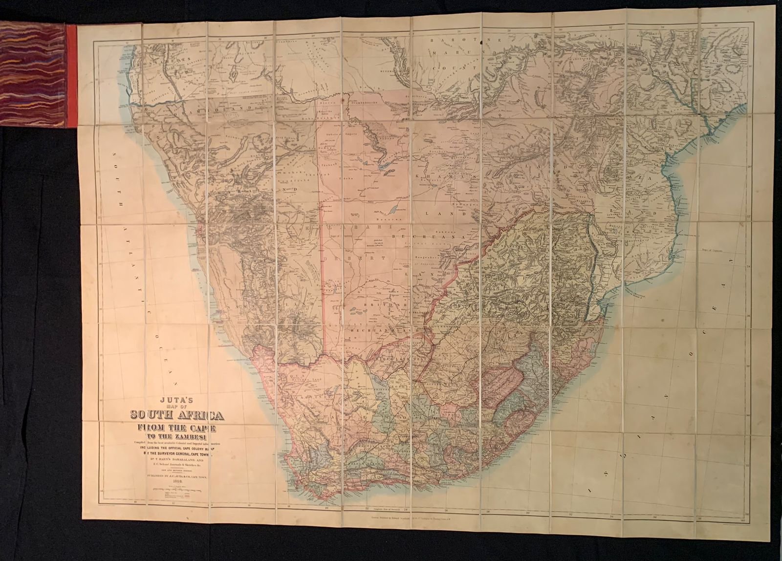
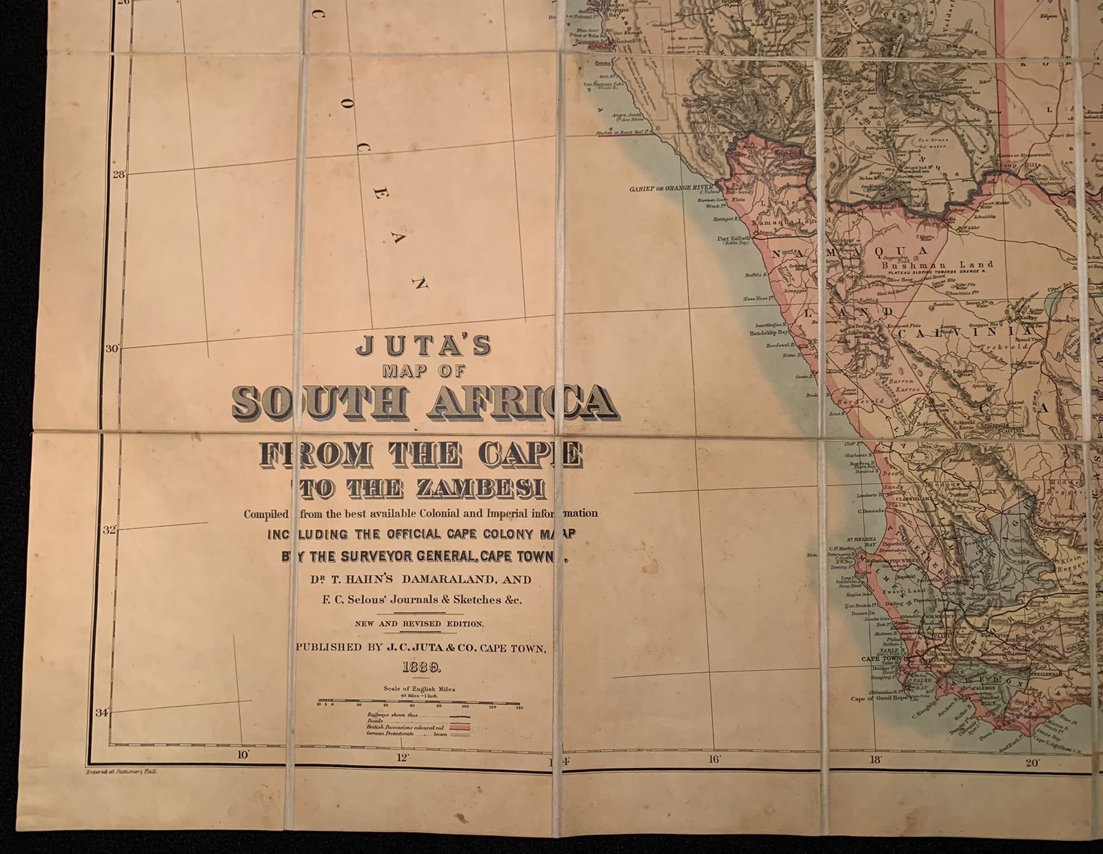
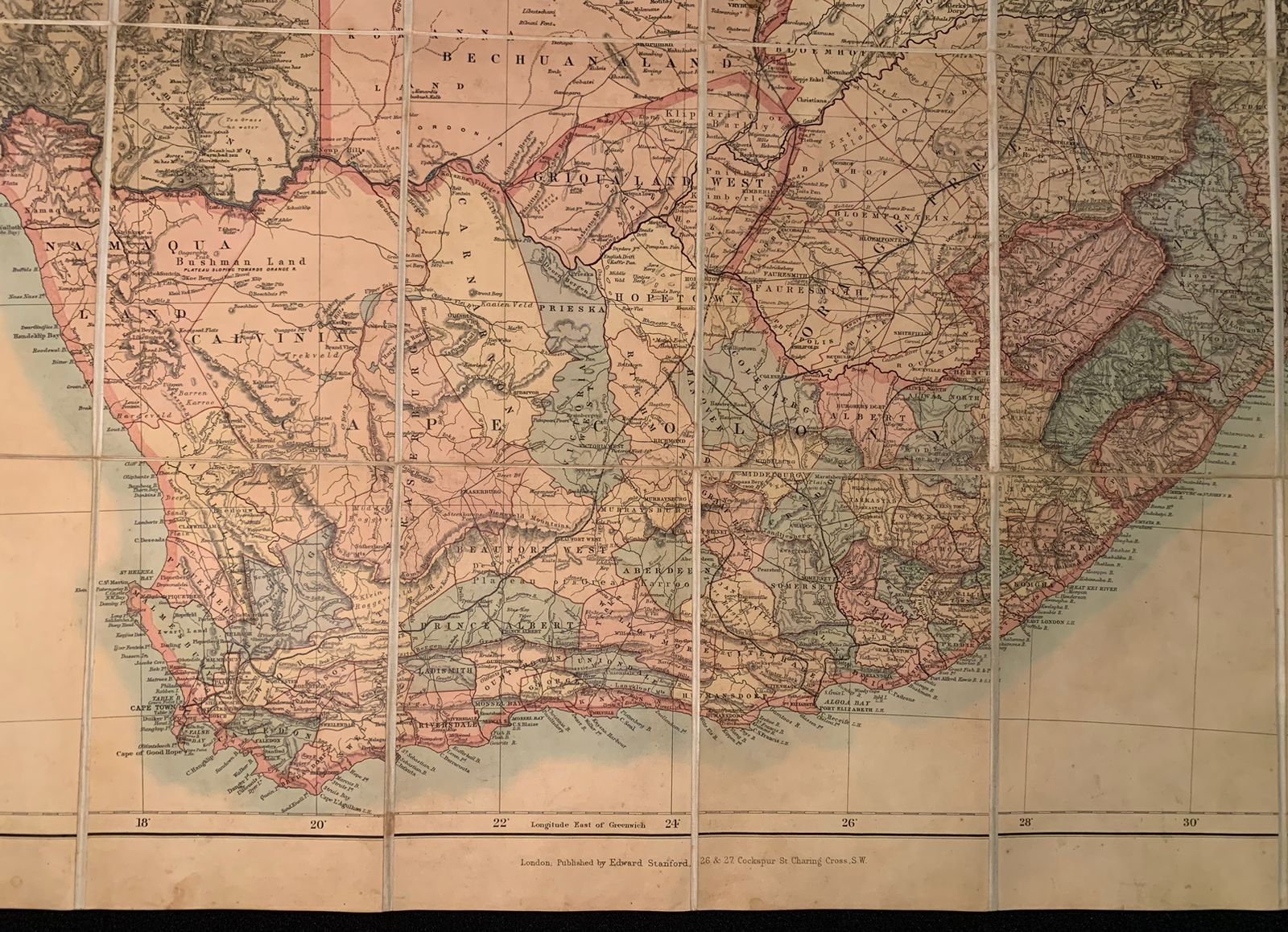
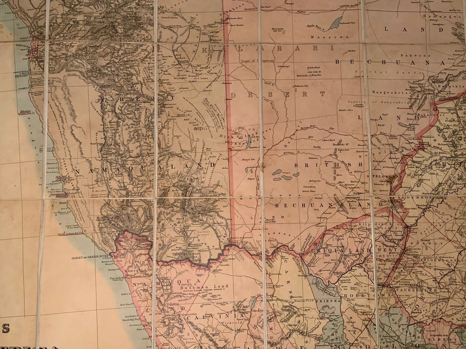
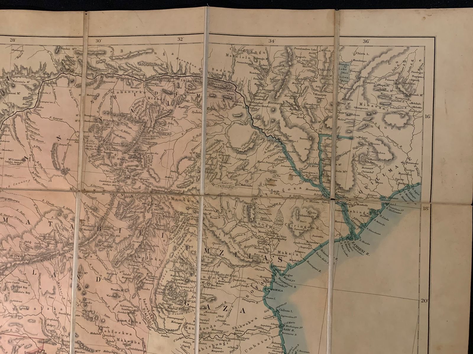
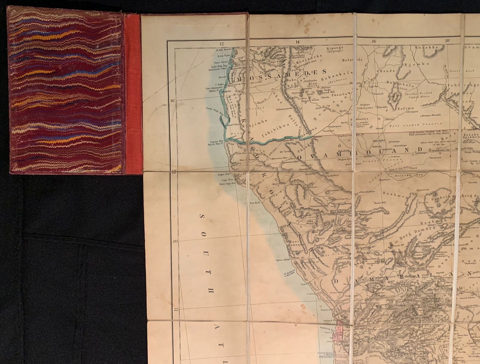
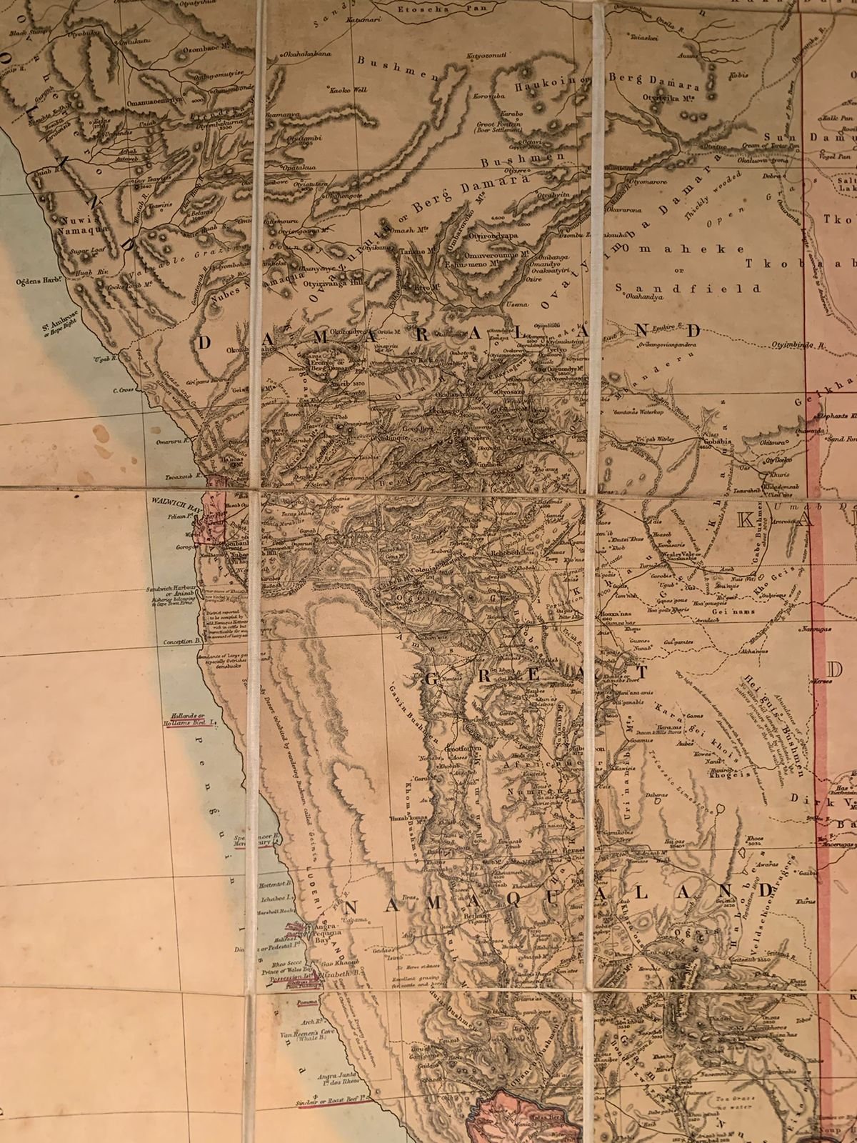
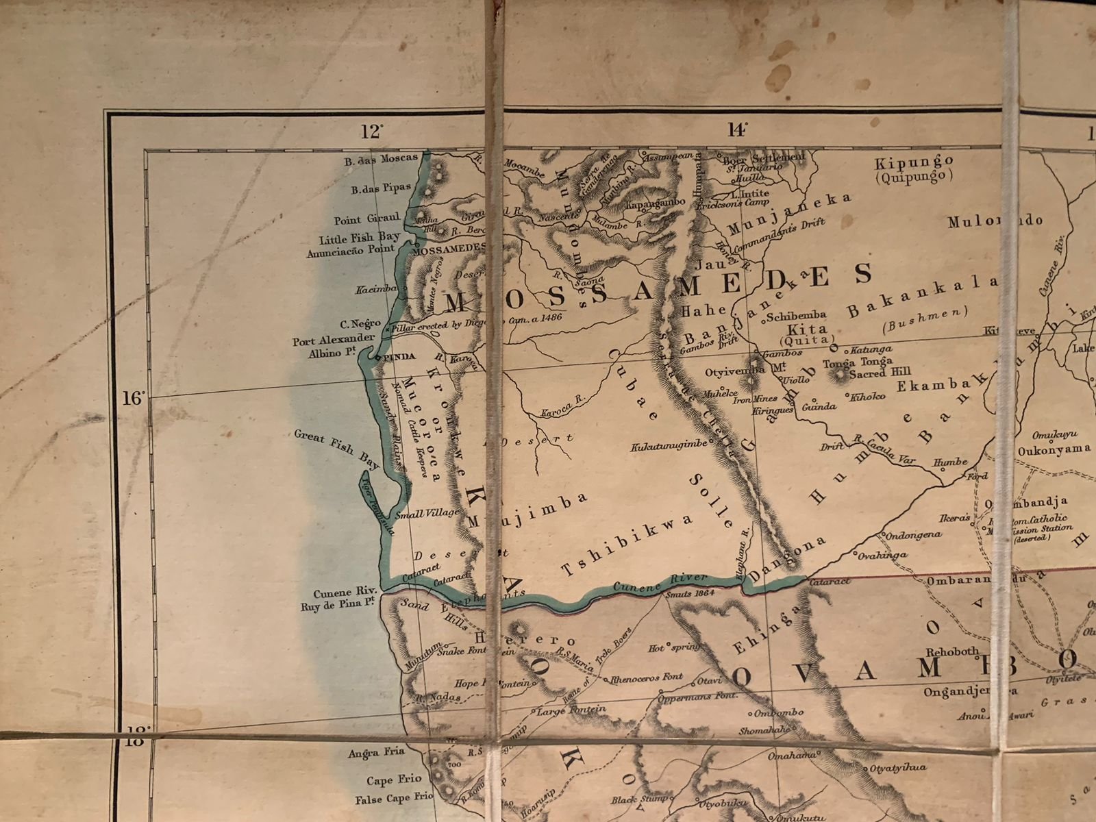
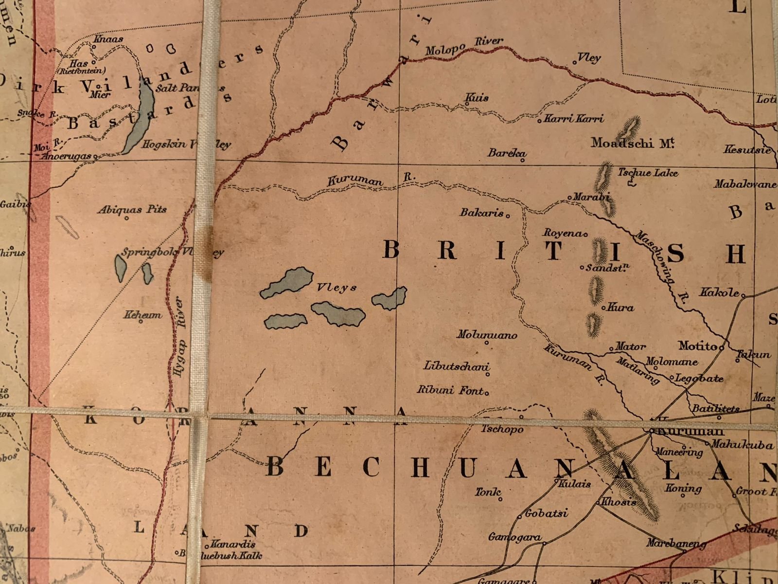
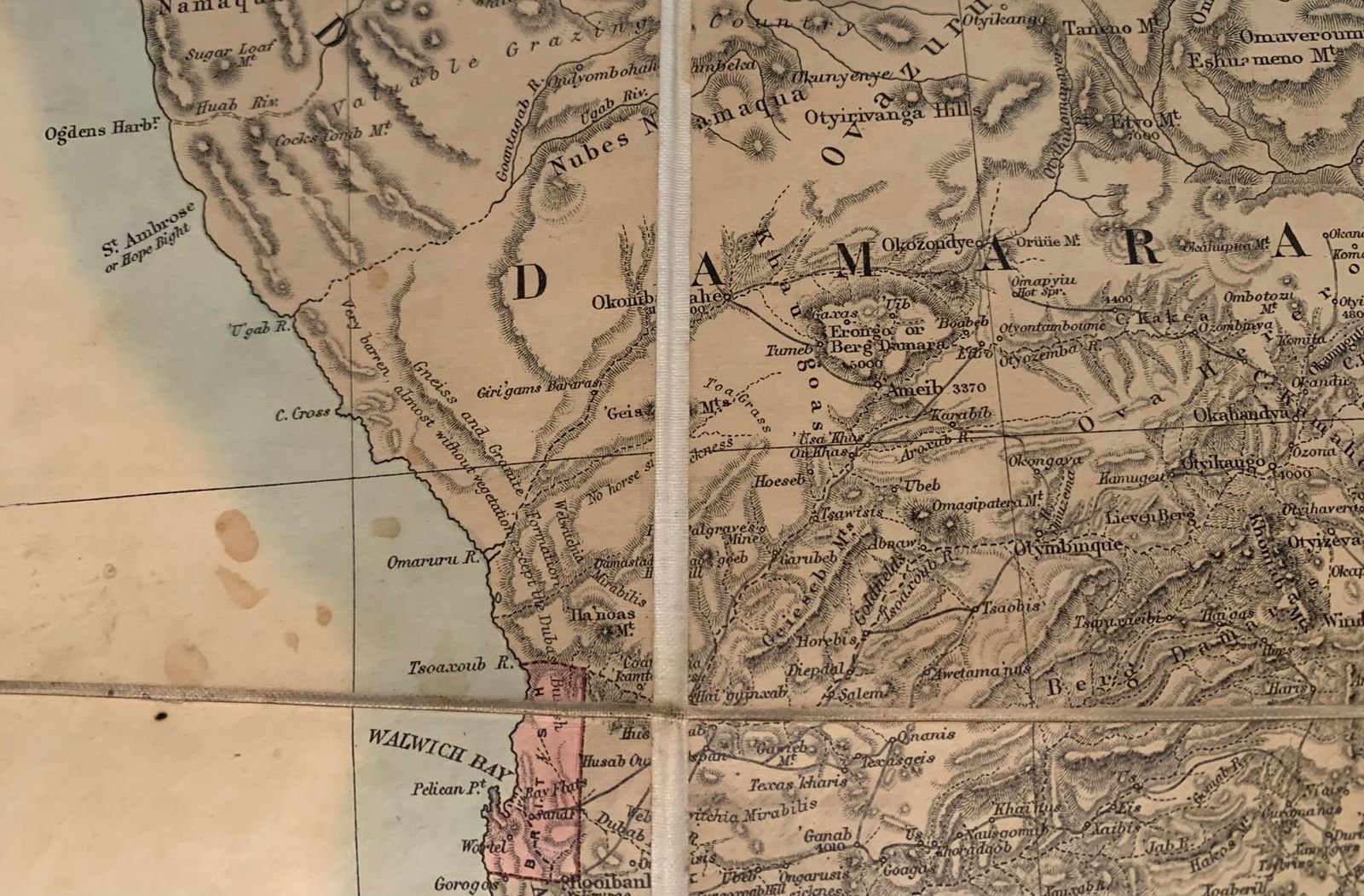
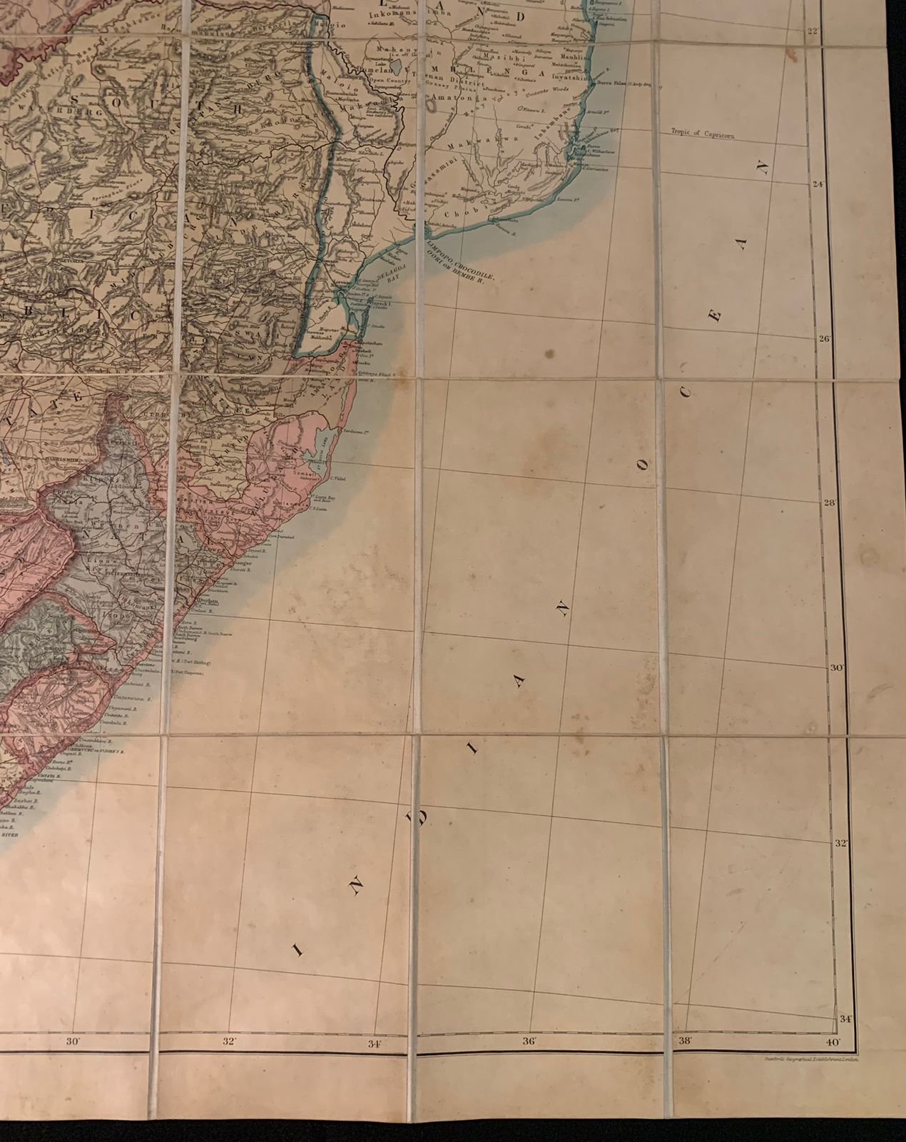
Juta’s Map of South Africa 1889
From the Cape to the Zambesi.
Compiled from the best available Colonial and Imperial Information, including the official Cape Colony map by the Surveyor General, Cape Town; Dr. T. Hahn's Damaraland; and F. C. Selous' Journals and Sketches. New and revised edition.
Published by J.C Juta & Co, Cape Town
1889.
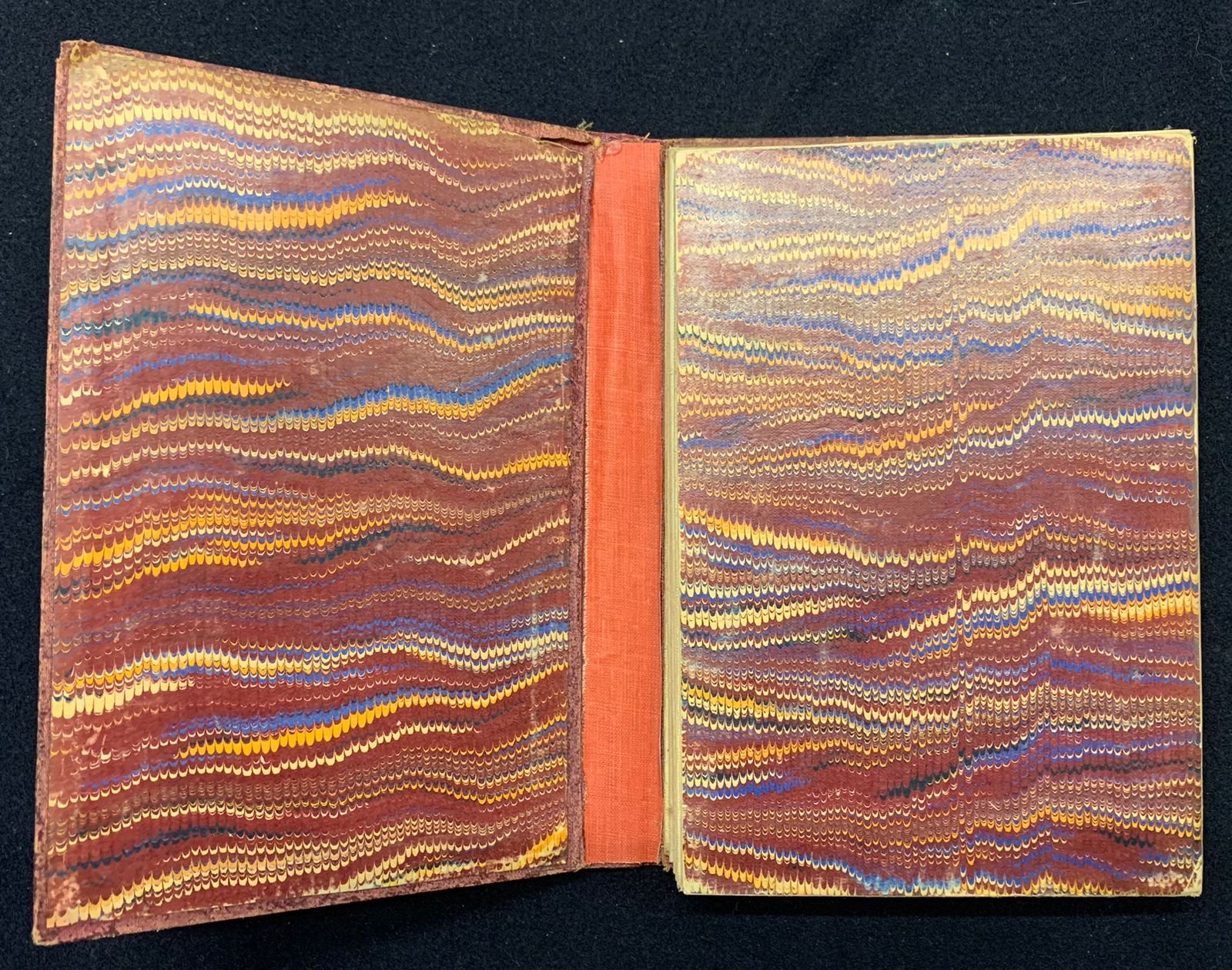
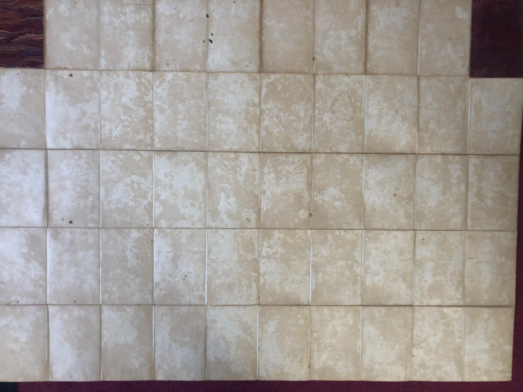
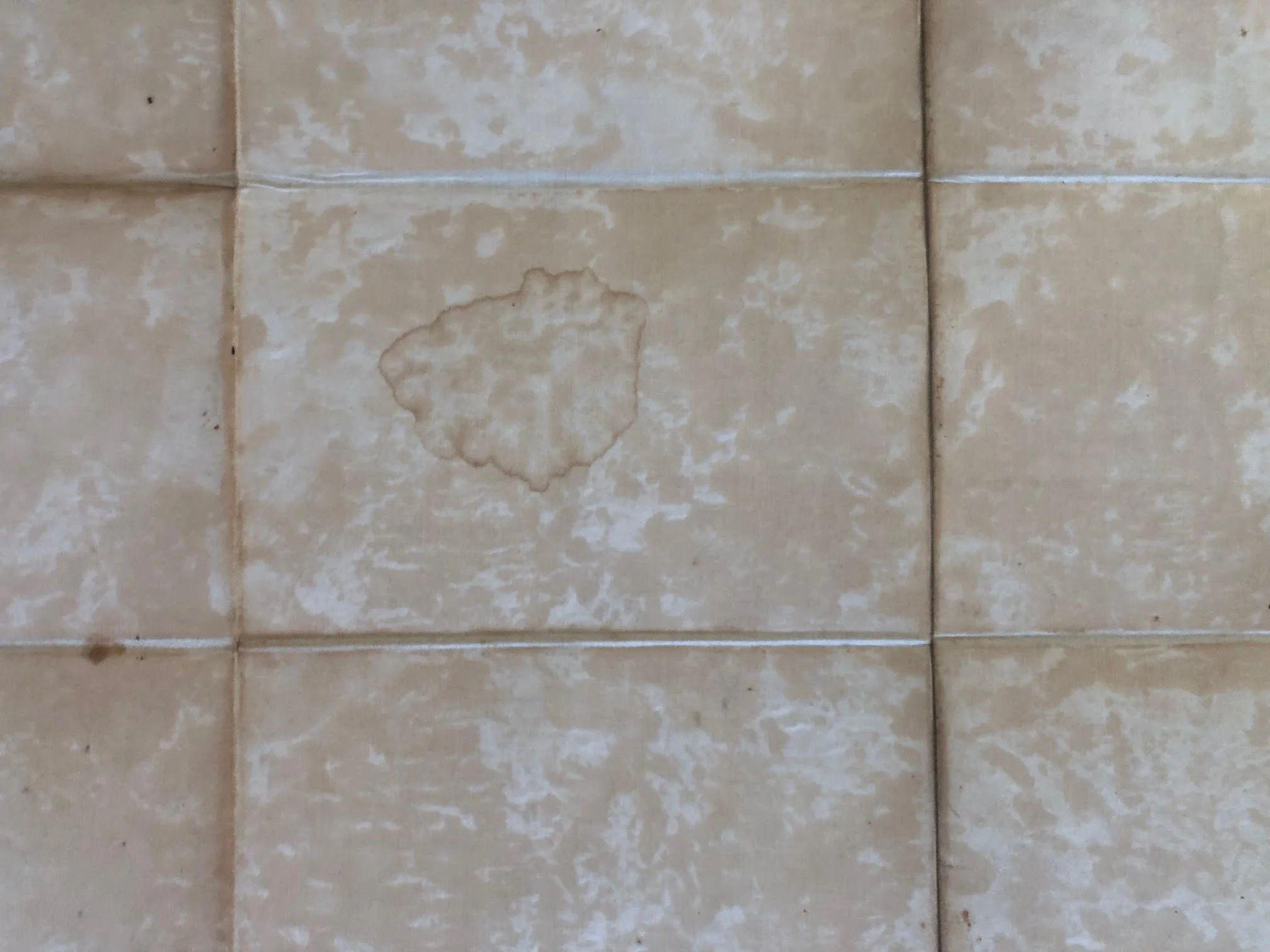
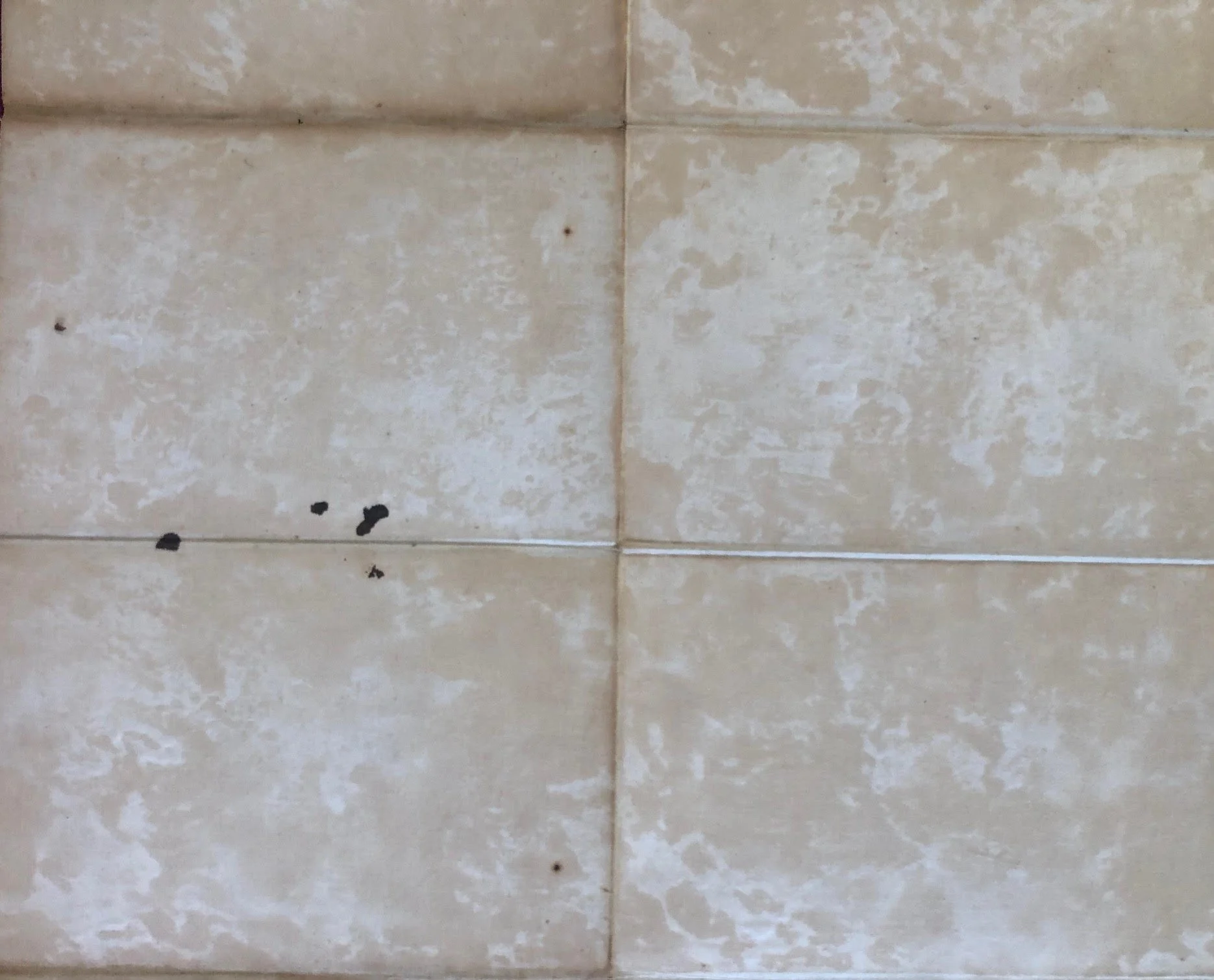
The spine has been replaced; boards fishmothed; the linen at the back is stained and has mellowed; there are some ink stains to the back; the linen joints are still strong, however are fraying slightly at the edges. The front has some light - brownish damp discolouration; one ink spot visible at the top of the map.
The colouring is still quite bright.
1274mm x 938mm
R10,000