1939 edition of The Travellers' Guide to Kenya and Uganda
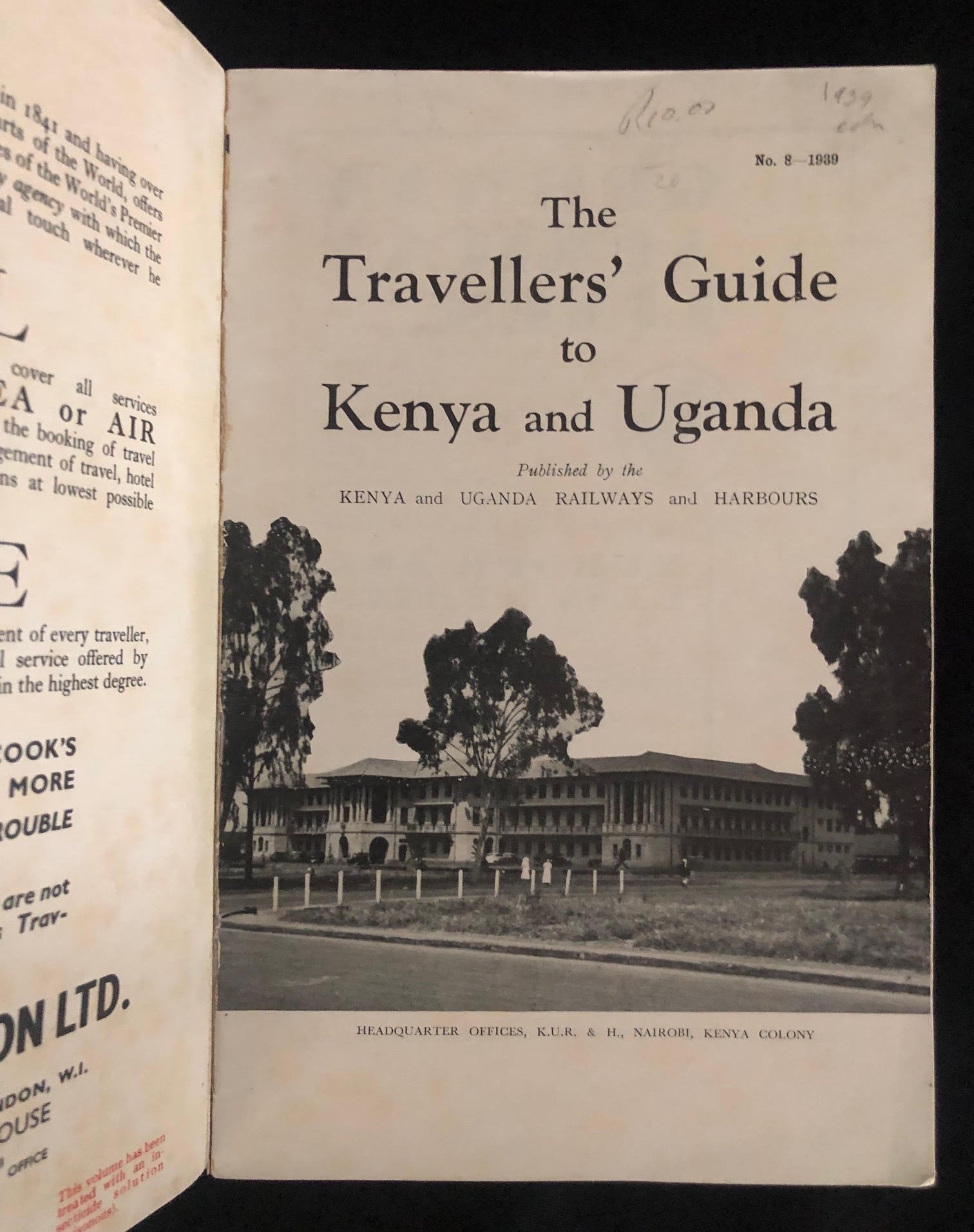
This 1939 edition of The Travellers' Guide to Kenya and Uganda, published by the Kenya and Uganda Railways and Harbours (K.U.R. & H.), captures a pivotal moment in East African colonial infrastructure, tourism, and geopolitics.
Here are a few historically significant aspects of this guide and its accompanying folding map:
The Gateway of Empire Rail: The K.U.R. & H. was the successor to the famous (and infamous) Uganda Railway, built between 1896 and 1901. Originally dubbed the "Lunatic Line" by British critics due to its astronomical cost, challenging terrain, and man-eating lions (the Tsavo man-eaters), it was the single most influential driver of British settlement in the region. By 1939, when this guide was issued, the railway was the economic and administrative backbone of East Africa.
Crucial Pre-WWII Snapshot (1939): Published in 1939, this guide sits right on the threshold of World War II. Within months of publication, K.U.R. & H.'s rail networks, steamship routes across Lake Victoria, and harbour facilities at Kilindini (Mombasa) were rapidly converted to transport Allied troops and supplies across East Africa and the Horn of Africa during the East African Campaign.
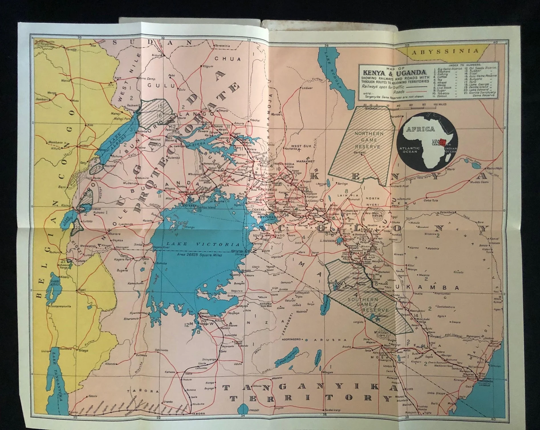
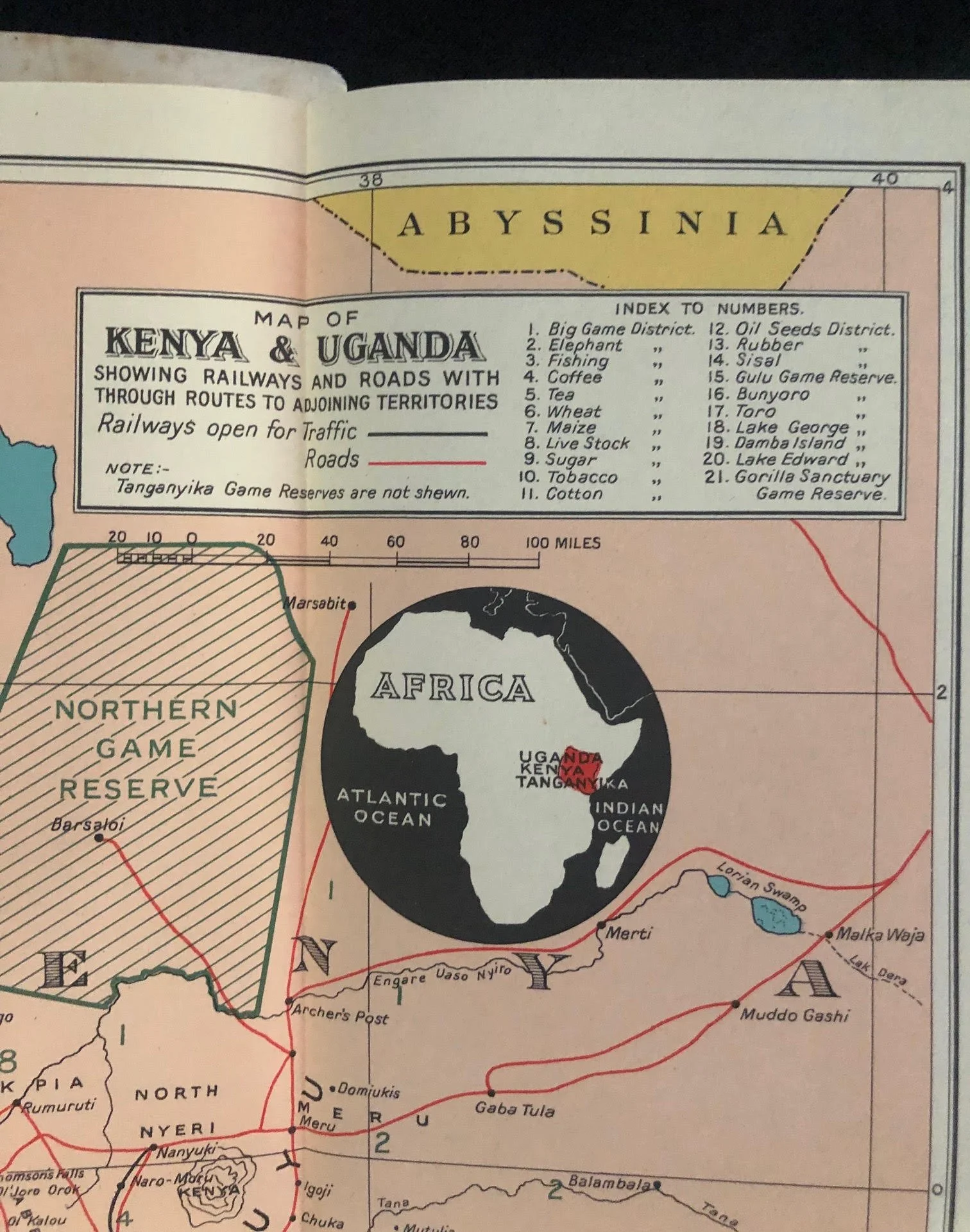
Pre-Independence Regional Nomenclature: The administrative labels on the map display the colonial political geography of the era:
Tanganyika Territory (under British League of Nations mandate following German East Africa's defeat in WWI).
Belgian Congo to the west.
Abyssinia (labeled at the bottom of the map, reflecting Ethiopia under Italian occupation following the Second Italo-Ethiopian War of 1935–1936).
140mm x 215mm
Binding fragile, some creasing and surface wear.
R1,500