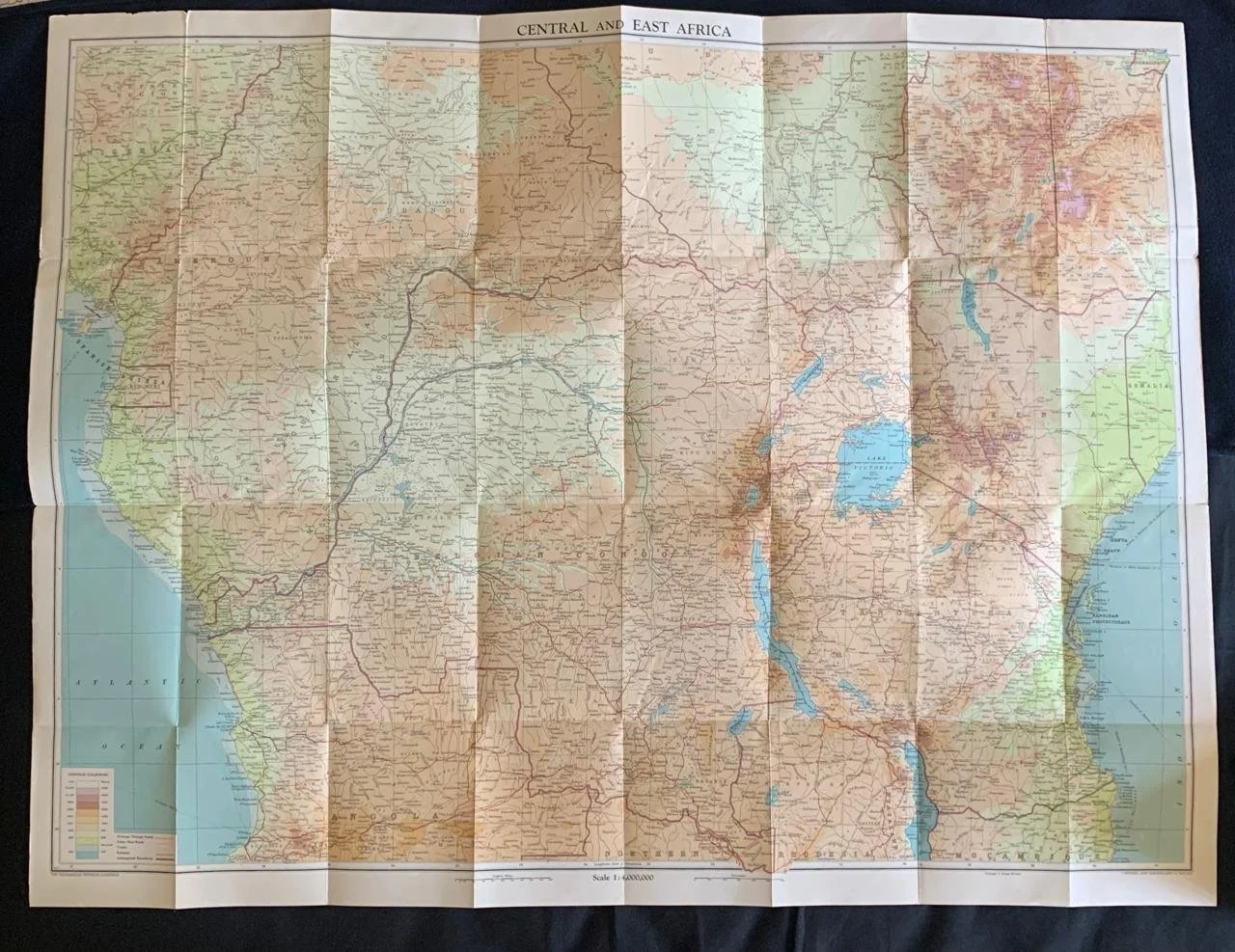
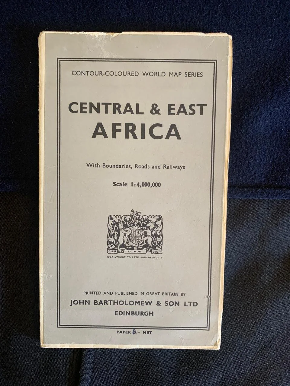
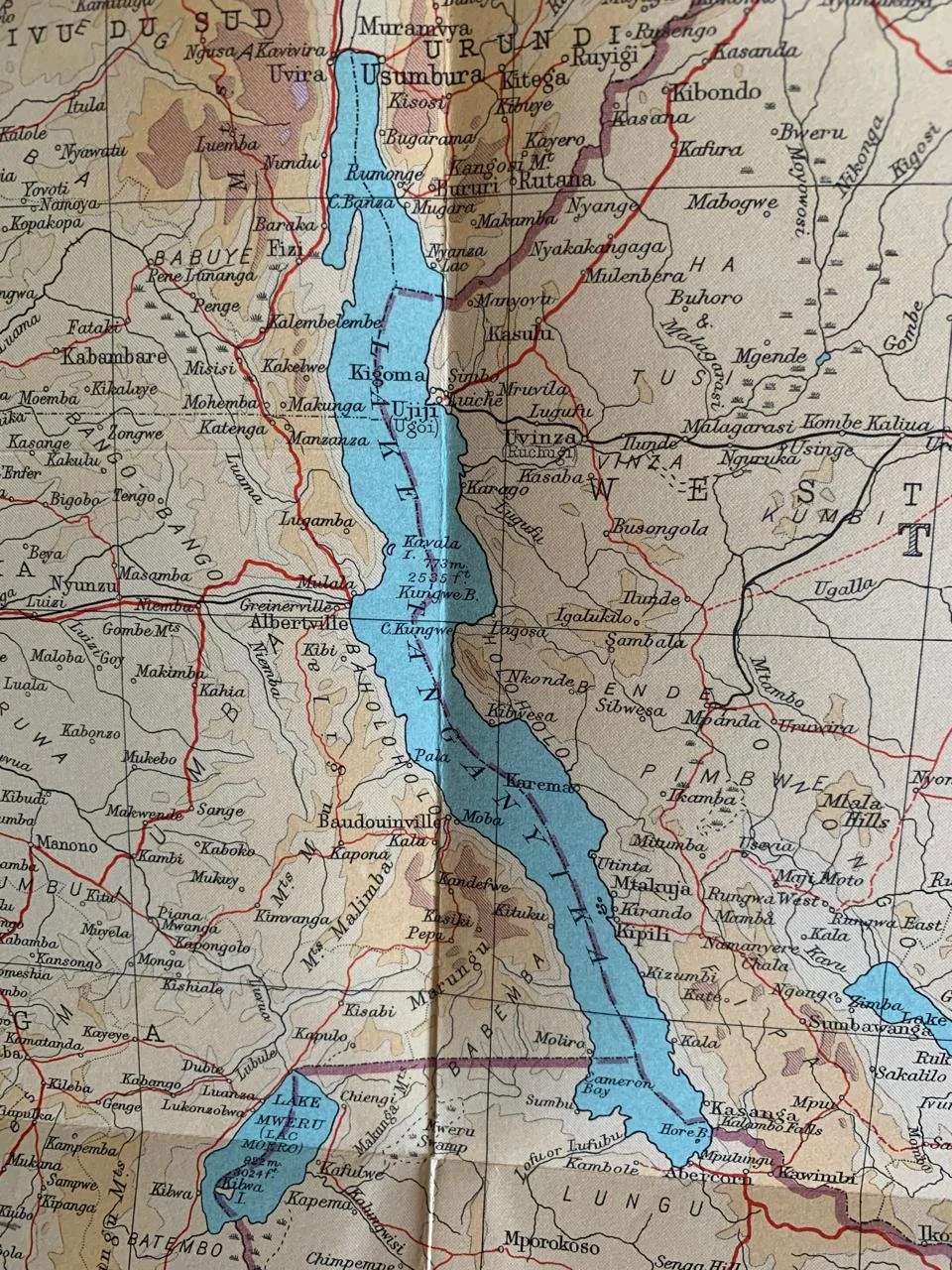
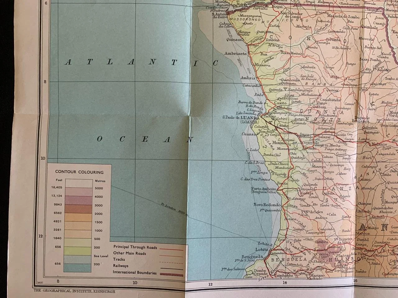
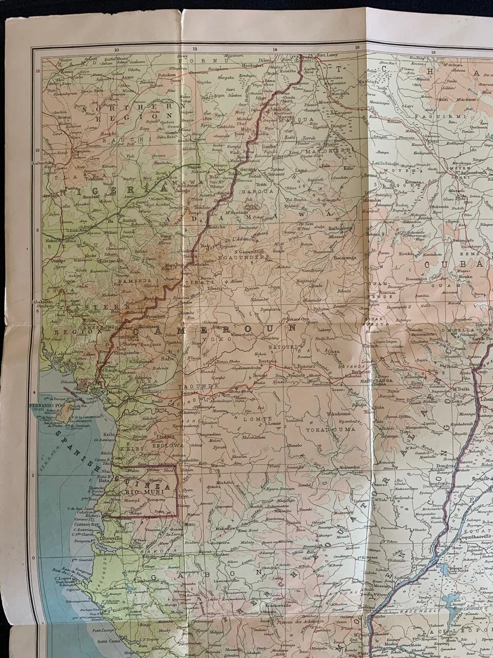
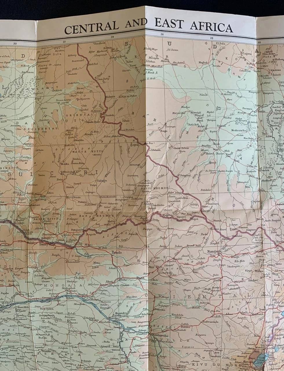
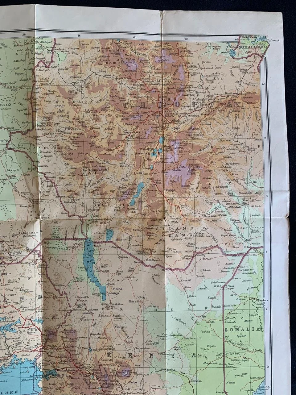
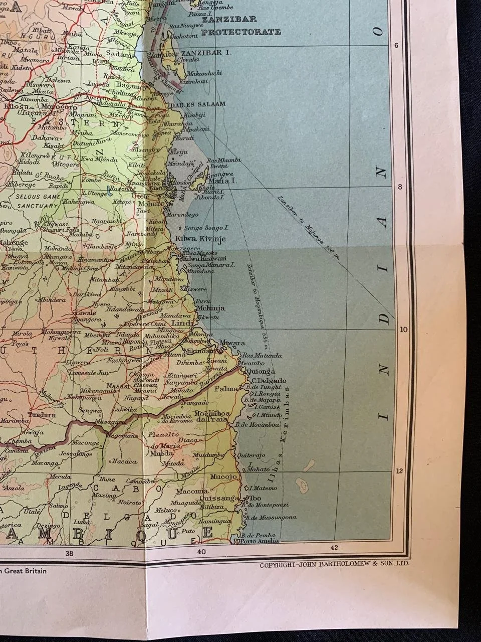
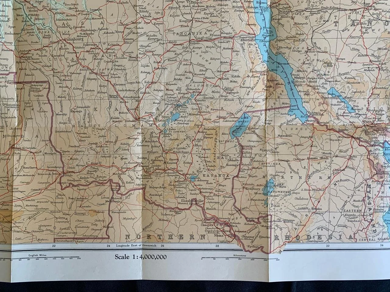
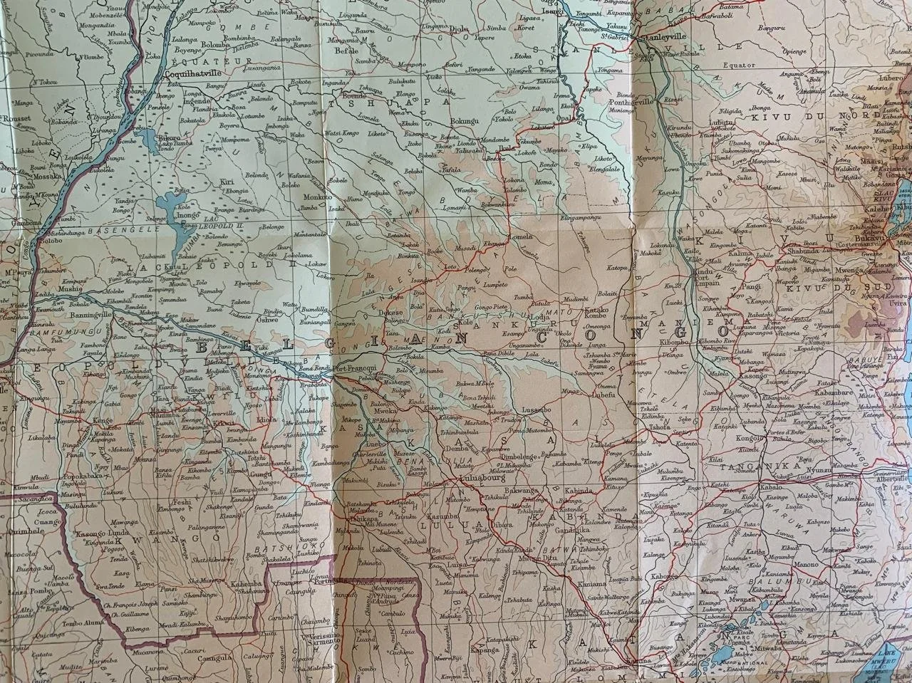
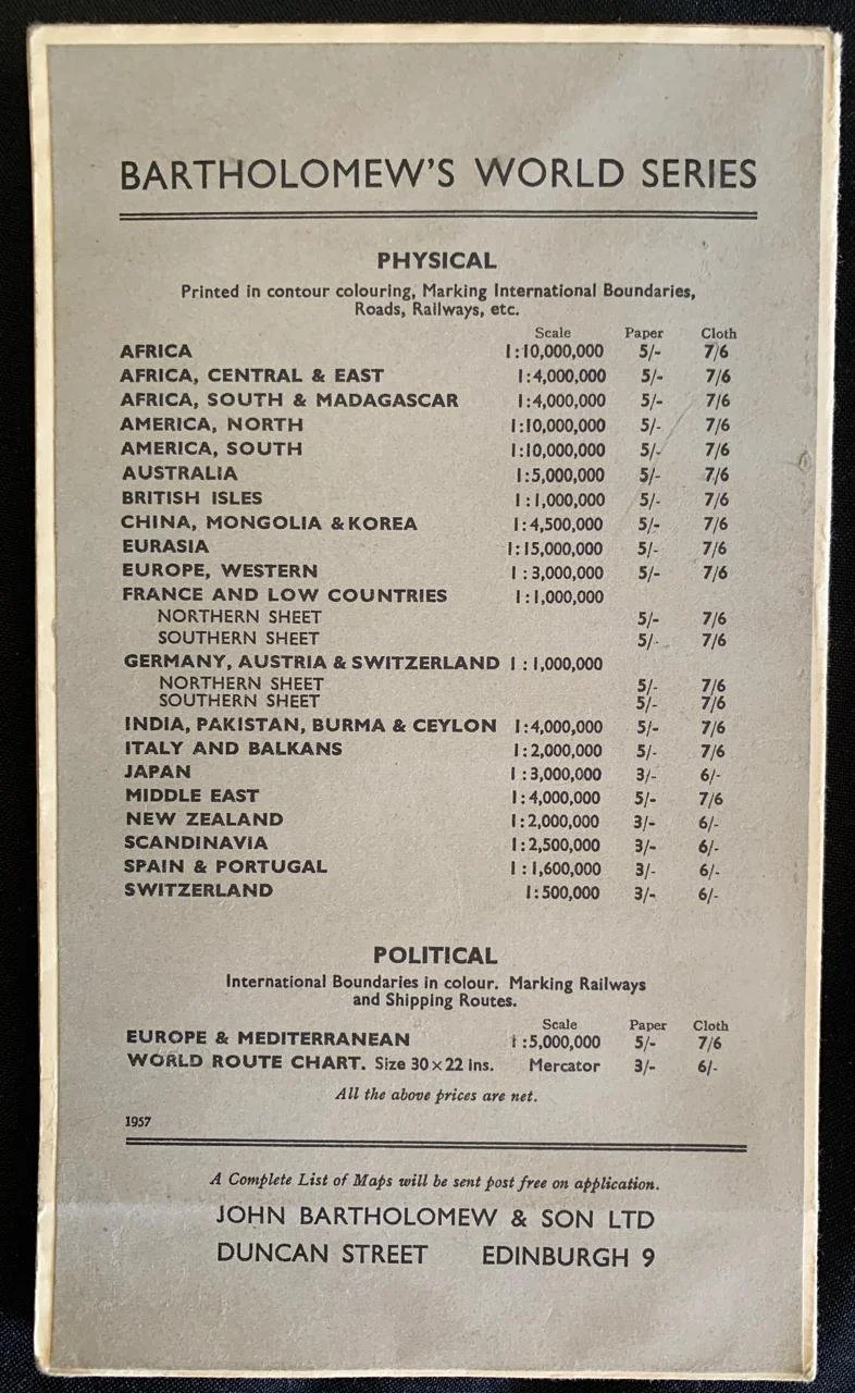
Central & East Africa by John Bartholomew & Son Ltd (1957)
Published as part of their contour-coloured mapping and regional series around the 1950s (such as the 1:4,000,000 scale editions from 1955 onwards)
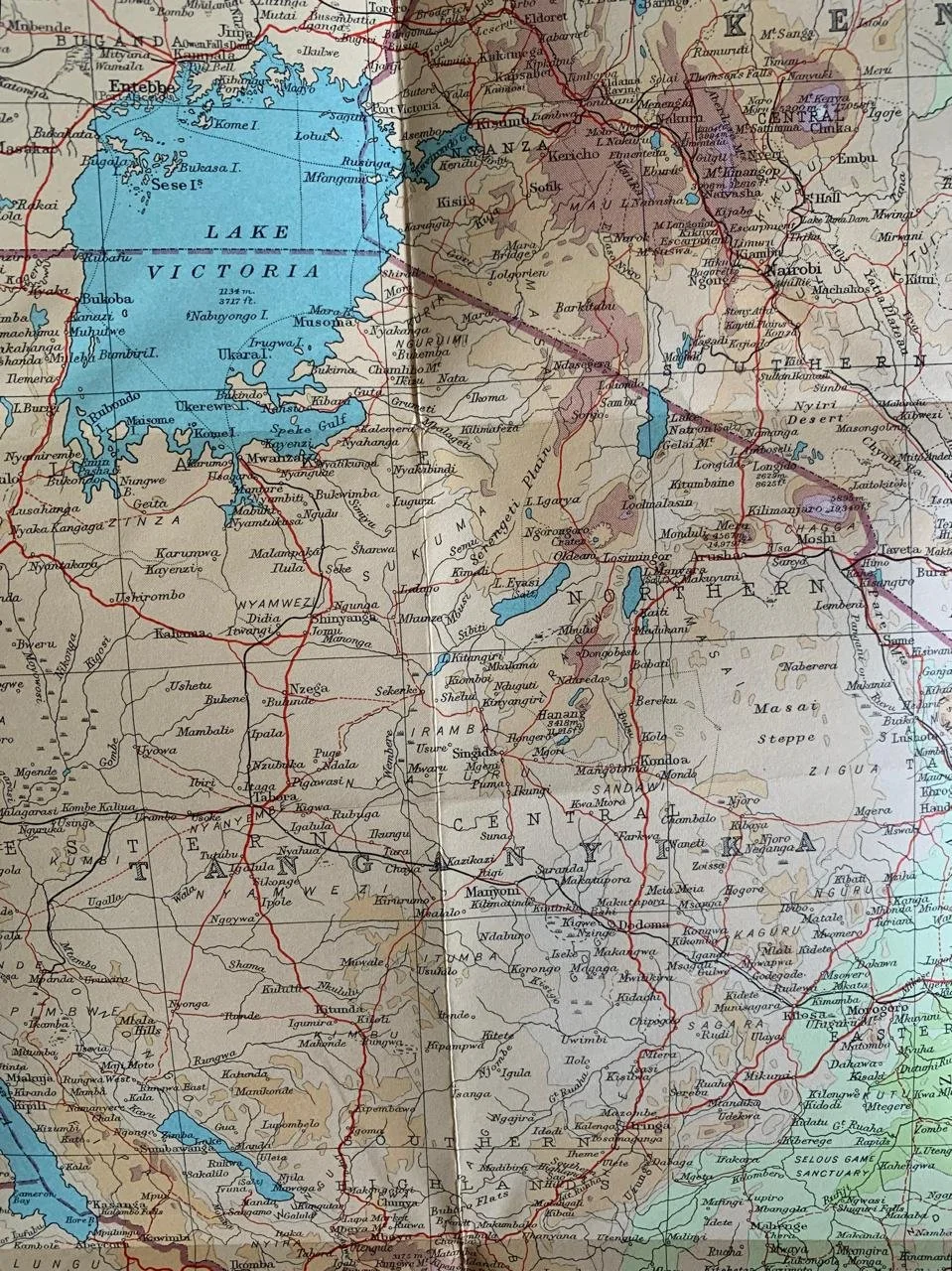
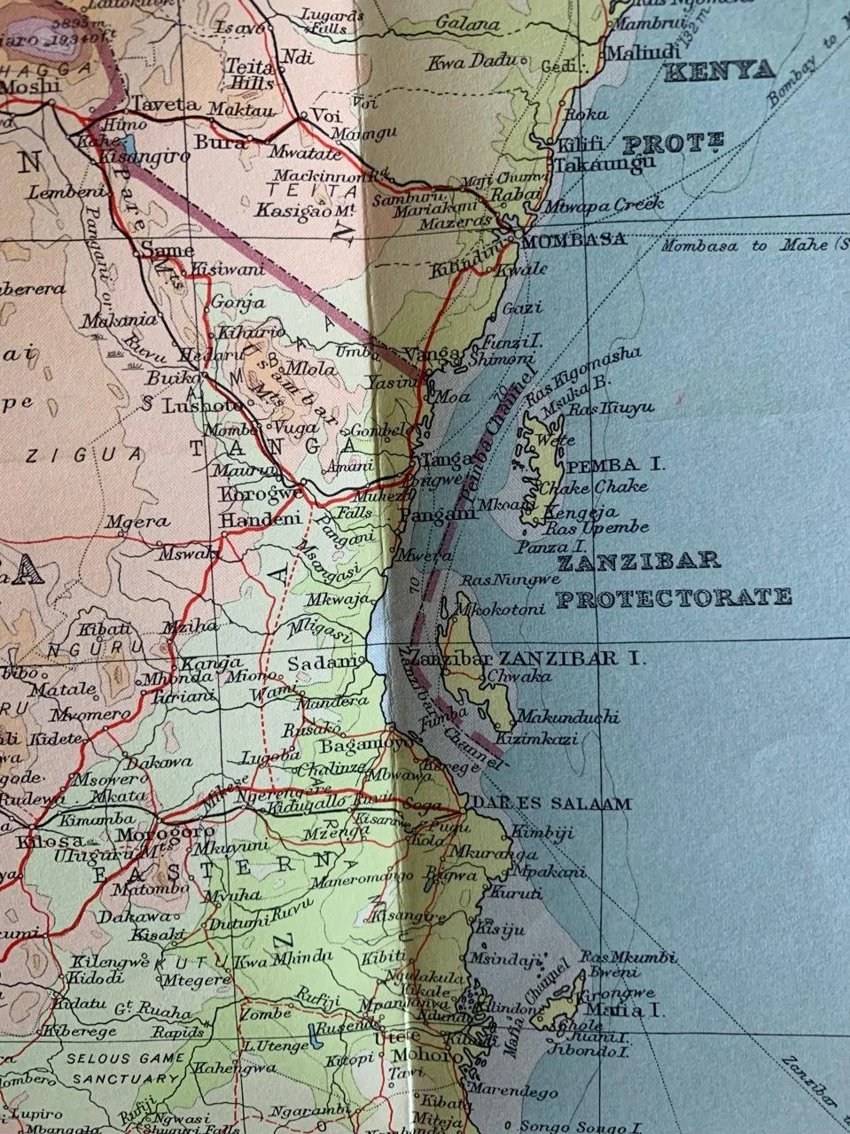
This map encompasses the midsection of the African continent—including British East Africa (Kenya), Uganda, Tanganyika Territory, the Belgian Congo, Northern Rhodesia, and surrounding regions during the transition period leading into African independence movements of the late 1950s and 1960s.
101cm x 77cm
R1,500