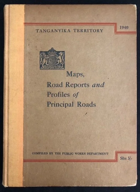
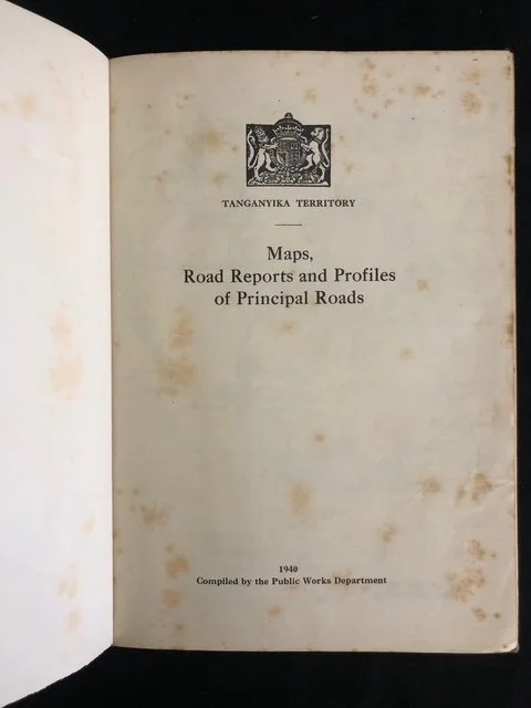
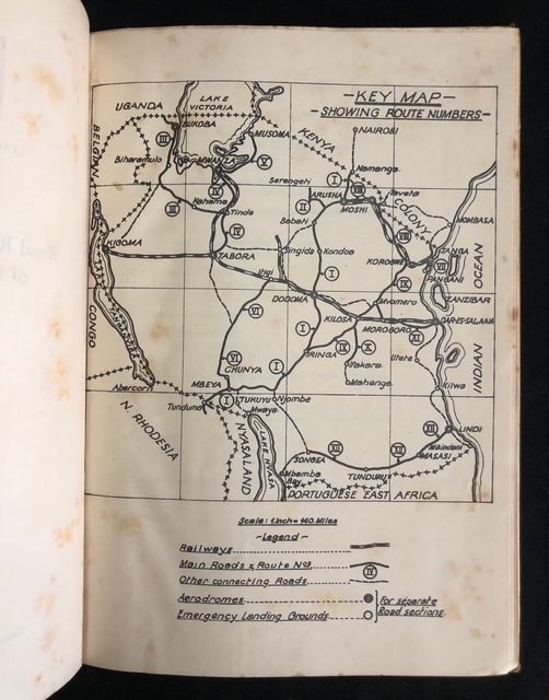
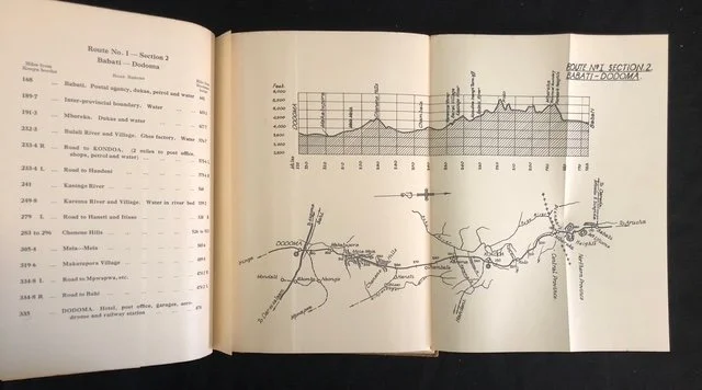
Tanganyika Territory: Maps, Road Reports and Profiles of Principal Roads compiled by the Public Works Department in 1940
This official publication is an inserting piece of ephemeral cartographic history. Rather than just a standard government manual, its timing, price, and focus offer a fascinating window into British East Africa on the brink of profound wartime and infrastructural transitions.
A Strategic Snapshot on the Eve of a Transport Revolution
Until World War II, Tanganyika's internal transport relied overwhelmingly on its two major German-built railway lines (the Central Line and the Tanga Line). Roads were treated merely as secondary "feeders" to the rail tracks and were notoriously poor—often turning into impassable mud tracks during the rainy seasons.
However, 1940 marked a major turning point. The outbreak of WWII disrupted shipping lanes along the Indian Ocean coast, making it incredibly difficult to move goods by sea between major ports like Tanga and Dar es Salaam. Suddenly, the territory’s primitive road network became of critical strategic importance to the British Empire. This book was compiled at the exact moment the colonial administration realized it had to hastily link its disjointed regions via overland trucking routes to support the war effort.
The Era of the "Great North Road" and Longitudinal Mapping
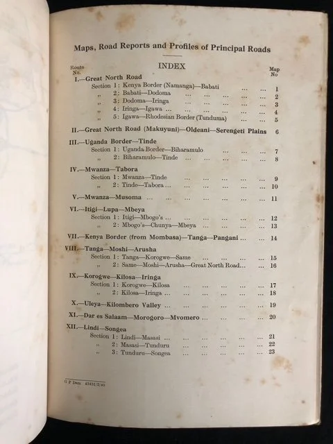
By 1940, the Public Works Department (PWD) was heavily invested in surveying and documenting the Great North Road, the legendary colonial ambition to create a continuous, motorable route from Cape Town to Cairo. The Tanganyika segment crossed brutal, malaria-prone terrain, scaling escarpments from Northern Rhodesia (Zambia) up through Mbeya, Iringa, Dodoma, and on toward Arusha.
The "Profiles" mentioned on the cover of are particularly interesting to cartographic historians. Because early motor vehicles frequently overheated or failed on steep African terrains, these official PWD logs did not just provide flat maps; they provided detailed topographic elevation gradients (profiles) and river-crossing data so drivers, military convoys, and traders knew exactly what mechanical challenges lay ahead.
The Price and the Audience: "Shs 5/-"
The bottom-right corner shows the price: Shs 5/- (Five East African Shillings). In 1940, this was an expensive reference document, not meant for local commuters, but for commercial transport companies, plantation owners, military logistics officers, and government officials.
It captures the twilight of an era when driving across Tanganyika was considered a genuine expedition, long before the post-war expansion of the East African Railways and Harbours road services standardized travel across the bush.
170mm x 230mm
Foxed; worn at the edge; a couple of small tears to the pages
R1,000