Natal, A Guide Book (1911)
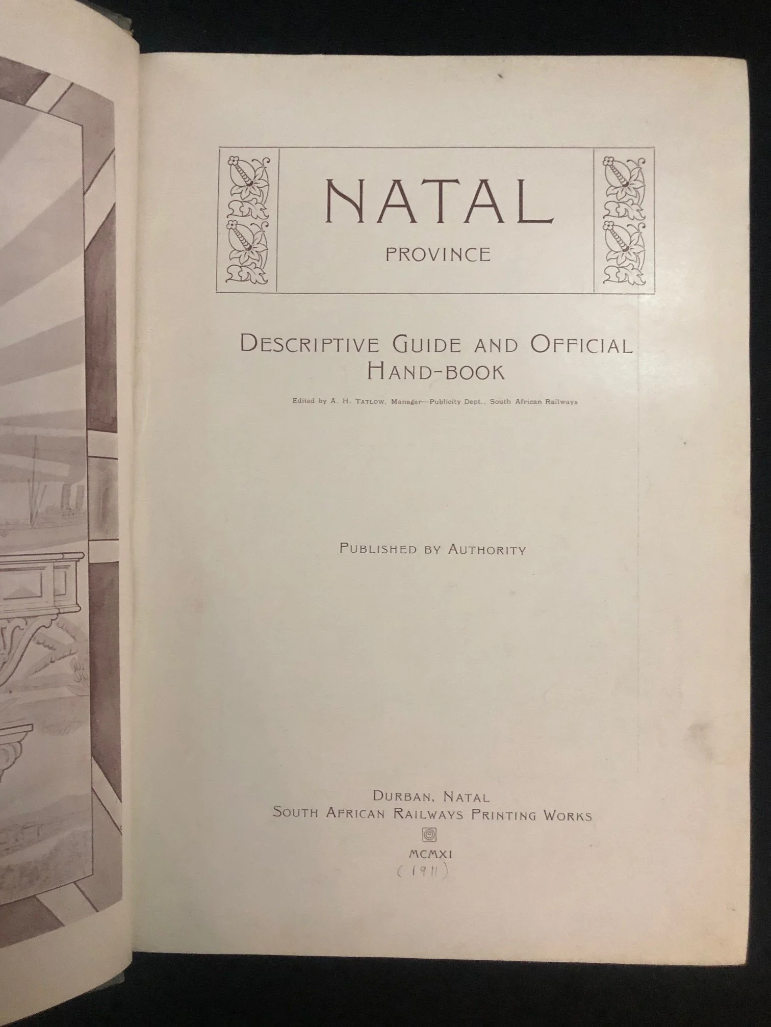
The handbook was published in MCMXI (1911), just one year after the former British colony, the Colony of Natal, was incorporated into the newly unified Union of South Africa as the "Natal Province."
The publisher — the South African Railways Printing Works — had itself only just been formed. In 1910, the separate colonial railway systems (including the Natal Government Railways and the Central South African Railways) were amalgamated to form the state-owned South African Railways (SAR). This massive, encyclopedic guide was one of the newly unified railway network's very first major propaganda and tourism initiatives designed to market the newly formed province to the world.
A.H. Tatlow: The Pioneer of South African Tourism Marketing
The handbook was edited by A.H. Tatlow, who was the Manager of the Publicity Department for the South African Railways. Tatlow is widely regarded as a foundational figure in early 20th-century South African travel journalism and state publicity.
He originally started his career editing the Natal Government Railways Magazine in Durban back in 1905.
Following Unionization, he was tasked with a massive national portfolio: using the railway network to aggressively promote immigration, industrial investment, and international tourism to South Africa.
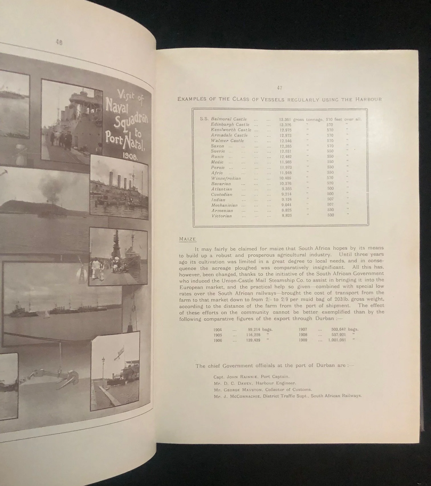
His guides were famous for being incredibly comprehensive—often spanning over 500 pages— full of contemporary photographs, folding maps, and extensive local business directories.
The Power of "Published by Authority"
The line "Published by Authority" on the title page carries distinct geopolitical weight for 1911. It signals that this was not merely a commercial travel guide, but an official government-sanctioned document meant to define the "official" narrative of the Natal Province. Handbooks like this were meticulously curated to project an image of stability, colonial progress, and industrial promise to potential British and imperial investors, downplaying the turbulent regional conflicts and socio-political shifts occurring on the ground during the creation of the Union.
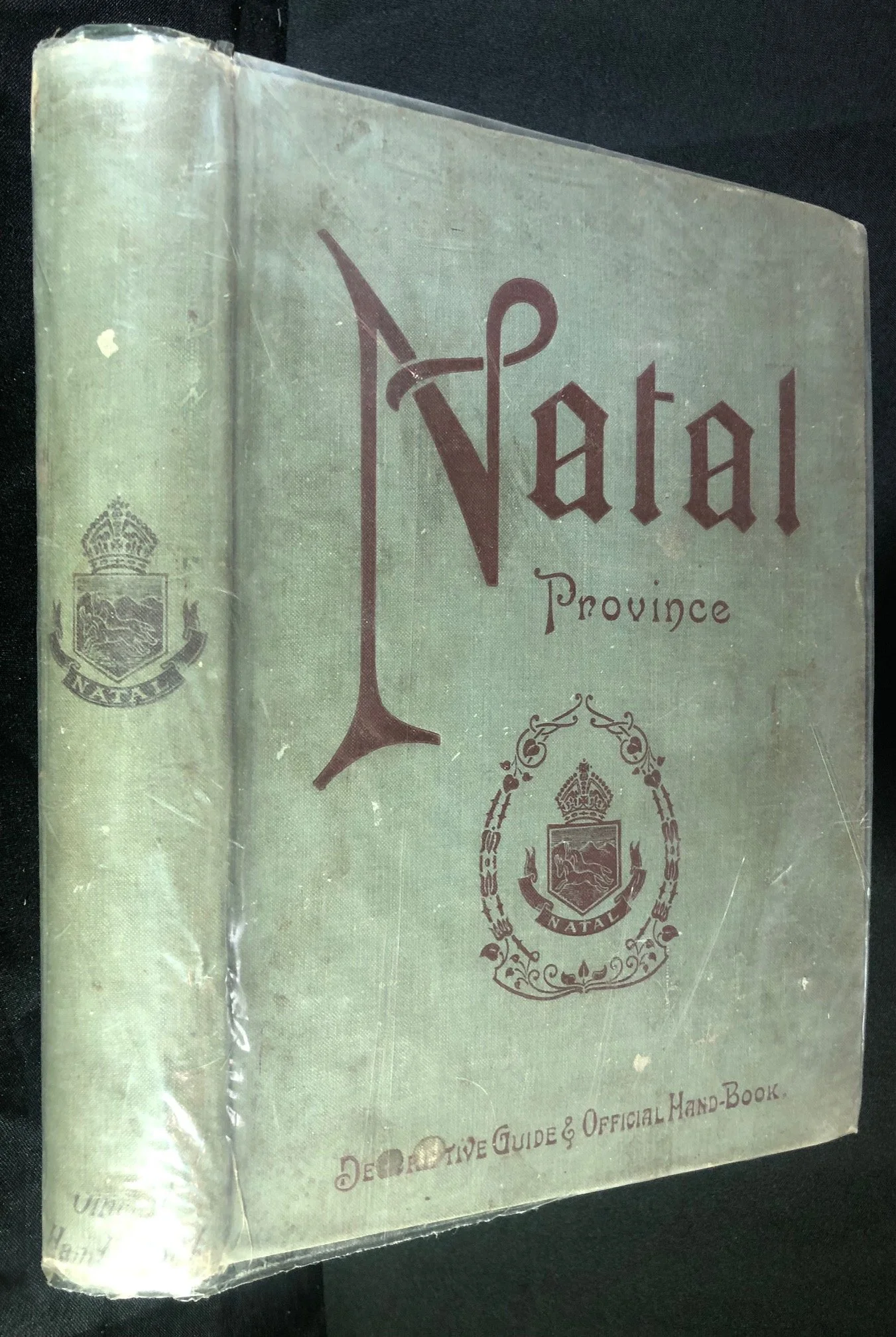
200mm x 270mm x 37mm
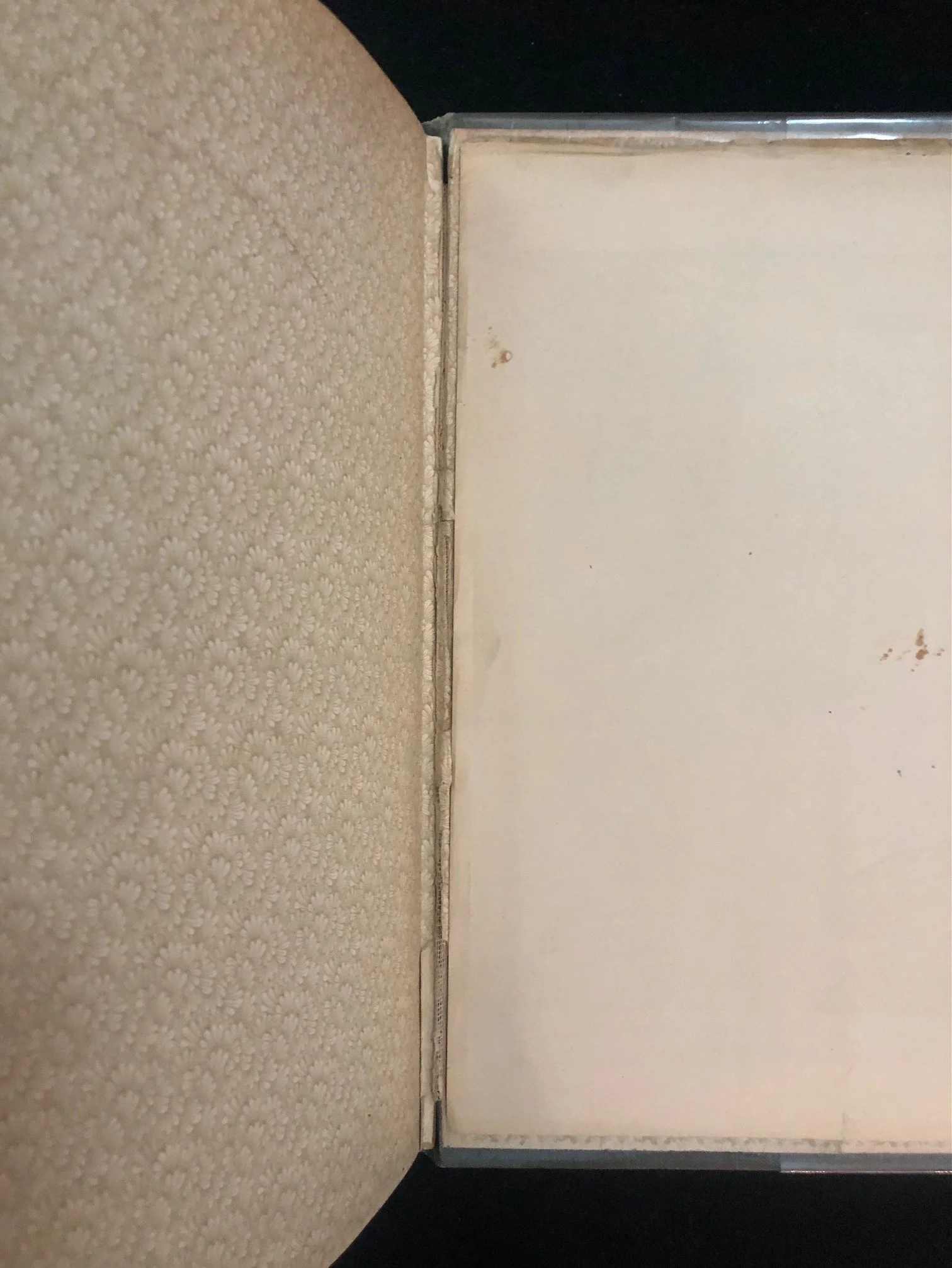
Hinges breaking; binding worn otherwise complete. This publication is mainly collected for the foldout maps, which are in good condition otherwise a few minor tears.
R1,250