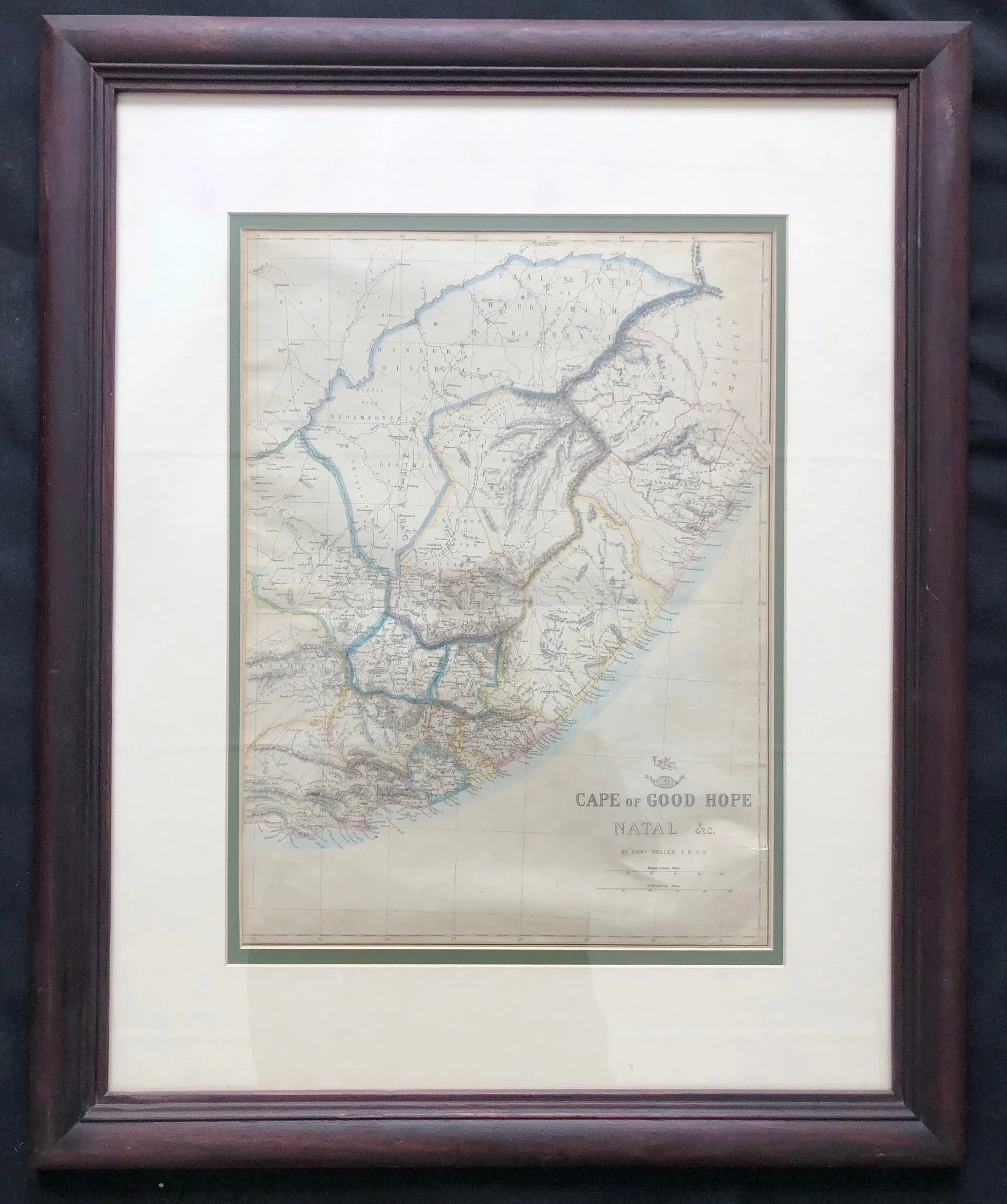
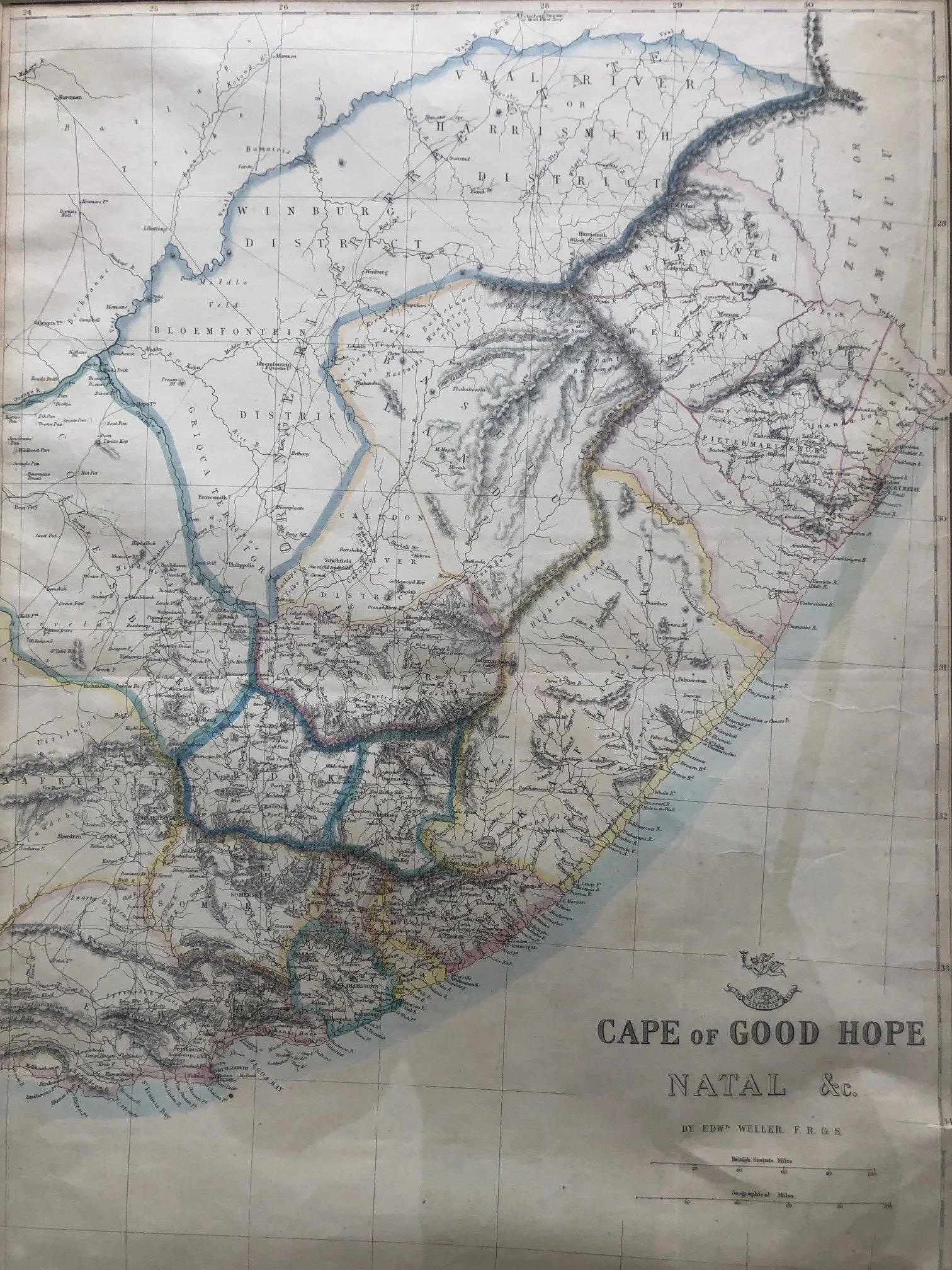
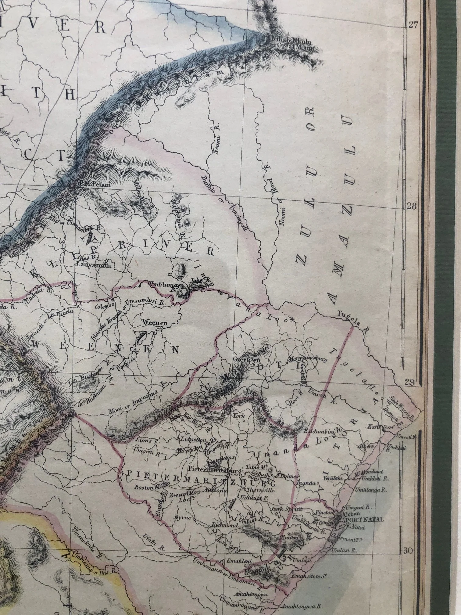
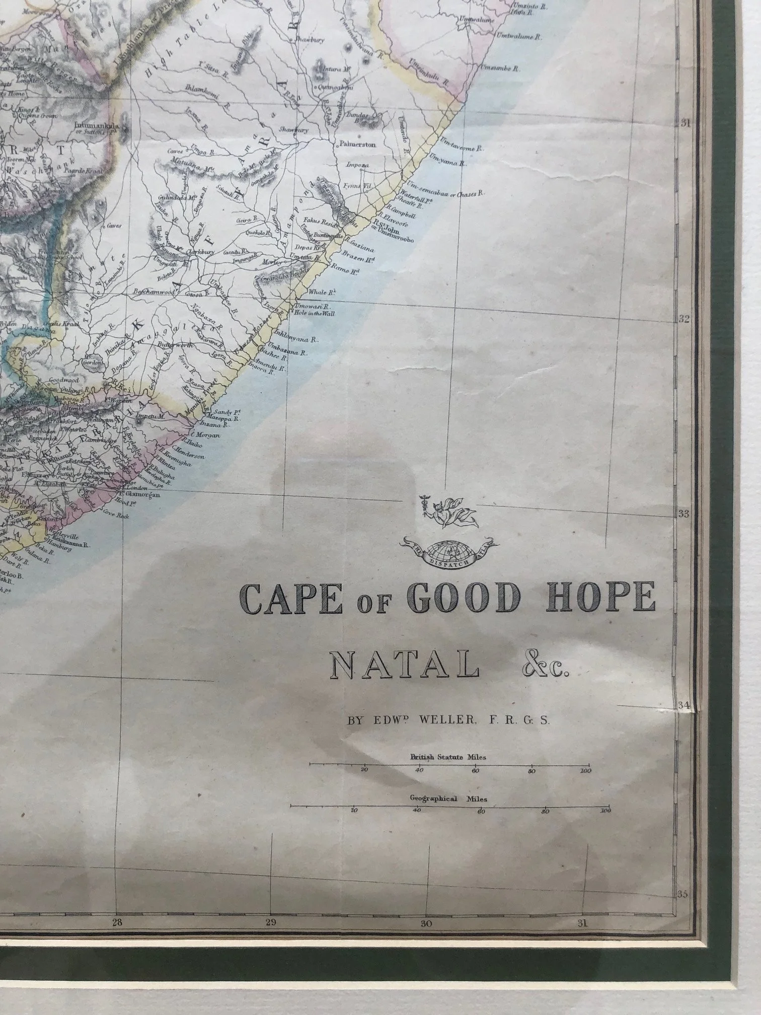
"Cape of Good Hope, Natal &c." by Edward Weller (1863)
"Cape of Good Hope, Natal &c." by Edward Weller, F.R.G.S., holds a fascinating place in both cartographic history and the social history of 19th-century Britain.
Originally Distributed in a Sunday Newspaper
While it looks like a formal atlas map today, this map was actually produced for the Weekly Dispatch Atlas (around 1860–1863). The Weekly Dispatch was a popular Sunday newspaper in London. To boost circulation, the paper began issuing highly detailed, large-scale maps as weekly supplements for a fraction of a penny extra. Subscribers would collect them week by week and later have them bound together. It represents a massive democratization of cartography, bringing accurate, global geographical knowledge into middle-class Victorian homes.
Edward Weller (1819–1884) was a prominent cartographer. This engraving has delicate border colouring which was typically applied by hand.
A Snapshot of Volatile Borders (The "Orange River Free State")
The central and upper-left sections of the map capture a very specific, brief window in Southern African history. It outlines the British Cape Colony and Natal, but also details the "Orange River Free State" (as well as old, short-lived magisterial districts like Weenen and Albert).
The map dates from the volatile era between the Great Trek and the discovery of major diamond deposits in Kimberley (1867) and gold on the Witwatersrand (1886). The interior boundaries were in constant flux, meaning Weller’s maps had to be frequently updated from one edition to the next to keep up with contemporary colonial expansion and shifting Boer-British-Zulu frontiers.
The Two-Sheet Puzzle
Because of its impressive scale, Weller originally engraved and printed this map in two separate sheets that had to be carefully joined together by a bookbinder or the owner. In this framed example we see the right half of the map. This is considered complete in its own right.
555mm x 680mm framed
Hand coloured engraving. Small tears
R3,500