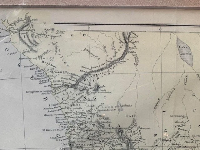
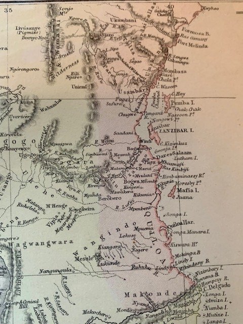
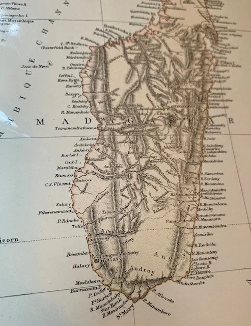
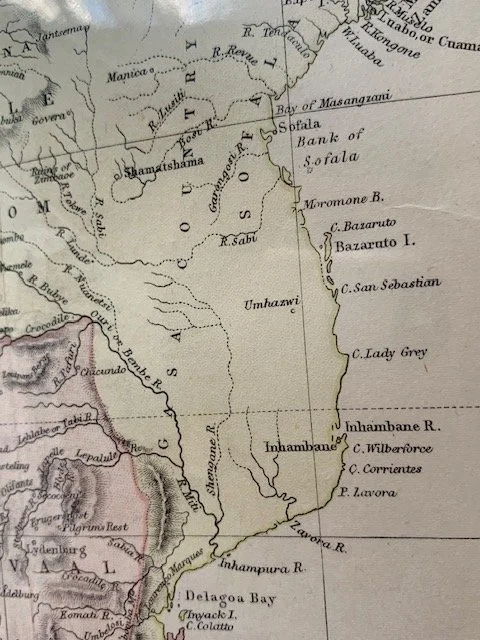
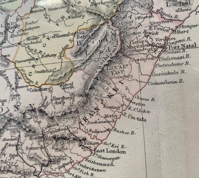
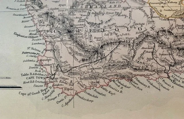
Map of Southern Africa (Annexation of the ZAR) c.1881
By Blackie and Son, Glasgow, Edinburgh & London
Hand-coloured copperplate engraving. This map is a rare example that depicts the annexation of the South African Republic in 1880. The British then named the territory ‘Transvaal’ on this map. This scenario changed after the British defeat at the Battle of Majuba in February 1881.
520mm x 370mm excluding mountboard (unframed)
R3,000