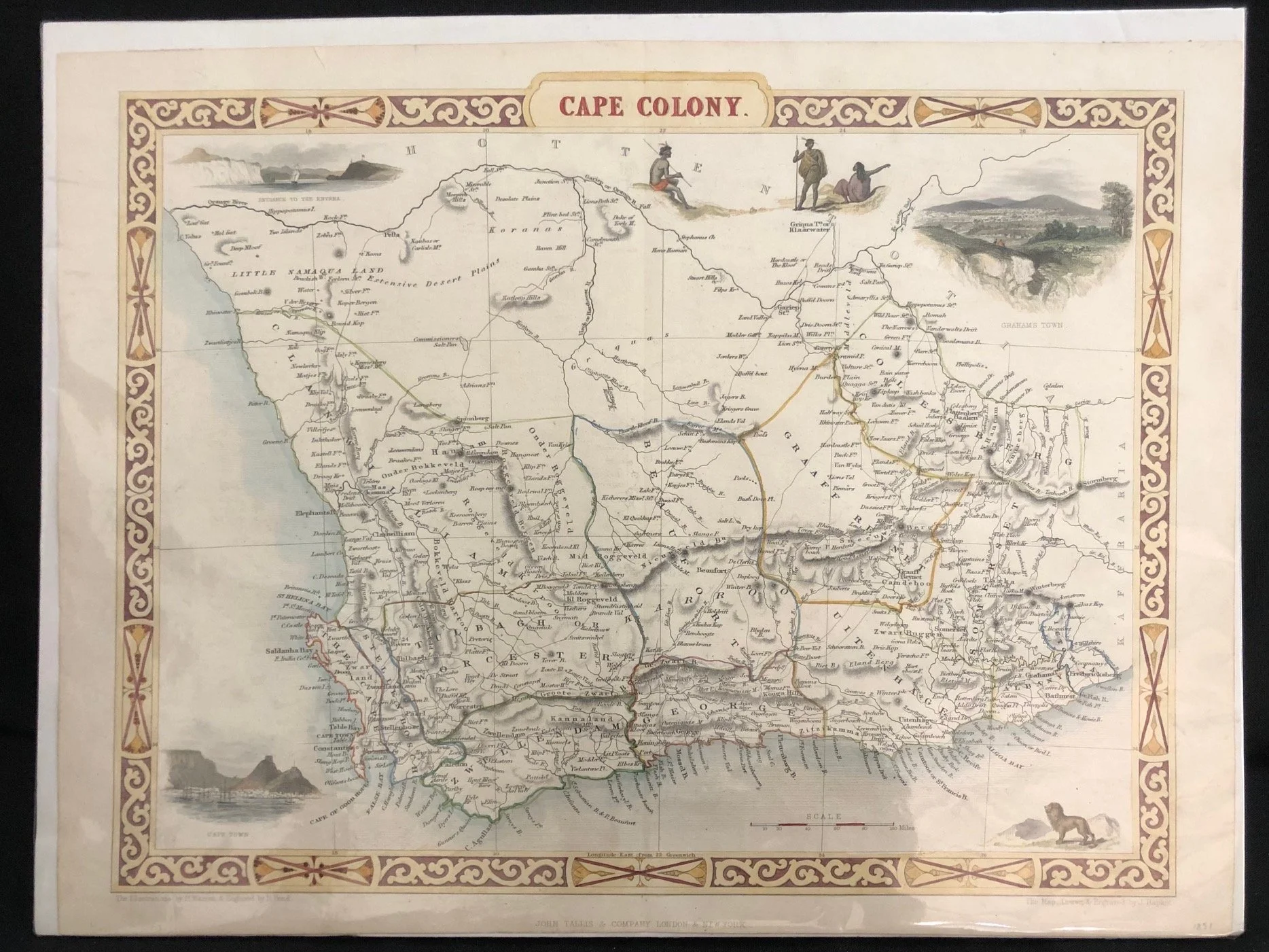
The Cape Colony published by John Tallis & Company (c1851)
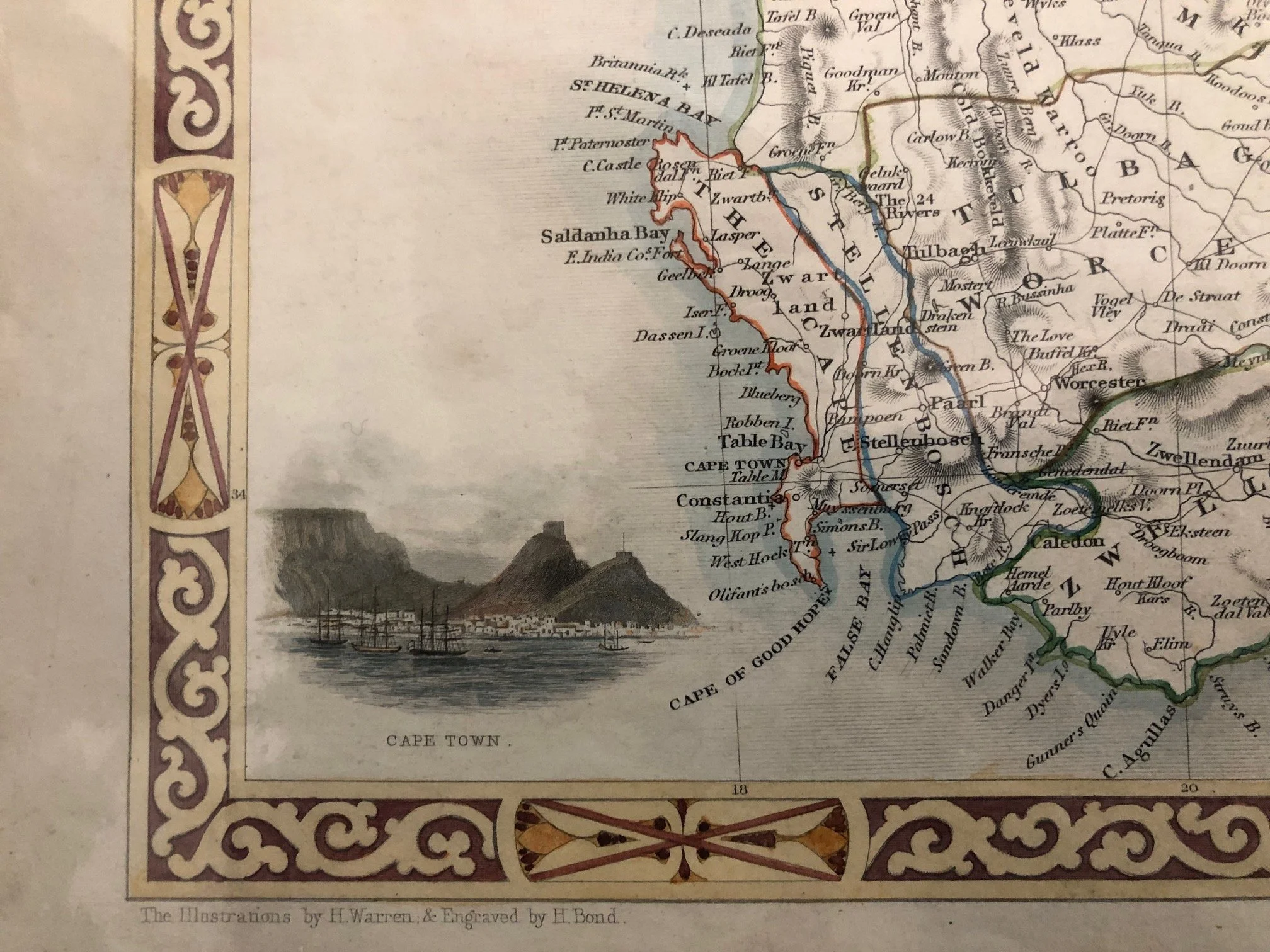
This is a beautiful example of one of the most famous and visually striking eras in 19th-century commercial cartography. Published by John Tallis & Company (London and New York), engraved by John Rapkin, with vignettes drawn by Henry Winkles.
Given the boundaries and style, it dates to around 1850 or 1851—just before Tallis stopped including decorative borders and vignettes on their maps.
The Peak of "Illustrated" Cartography
John Tallis was one of the very last major commercial mapmakers to heavily feature decorative borders and pictorial vignettes. By the 1850s, the rise of utilitarian, mass-produced atlas maps meant that decorative flourishes were being phased out in favor of clean, plain scientific data.
• Notice the intricate, strapwork-style decorative border.
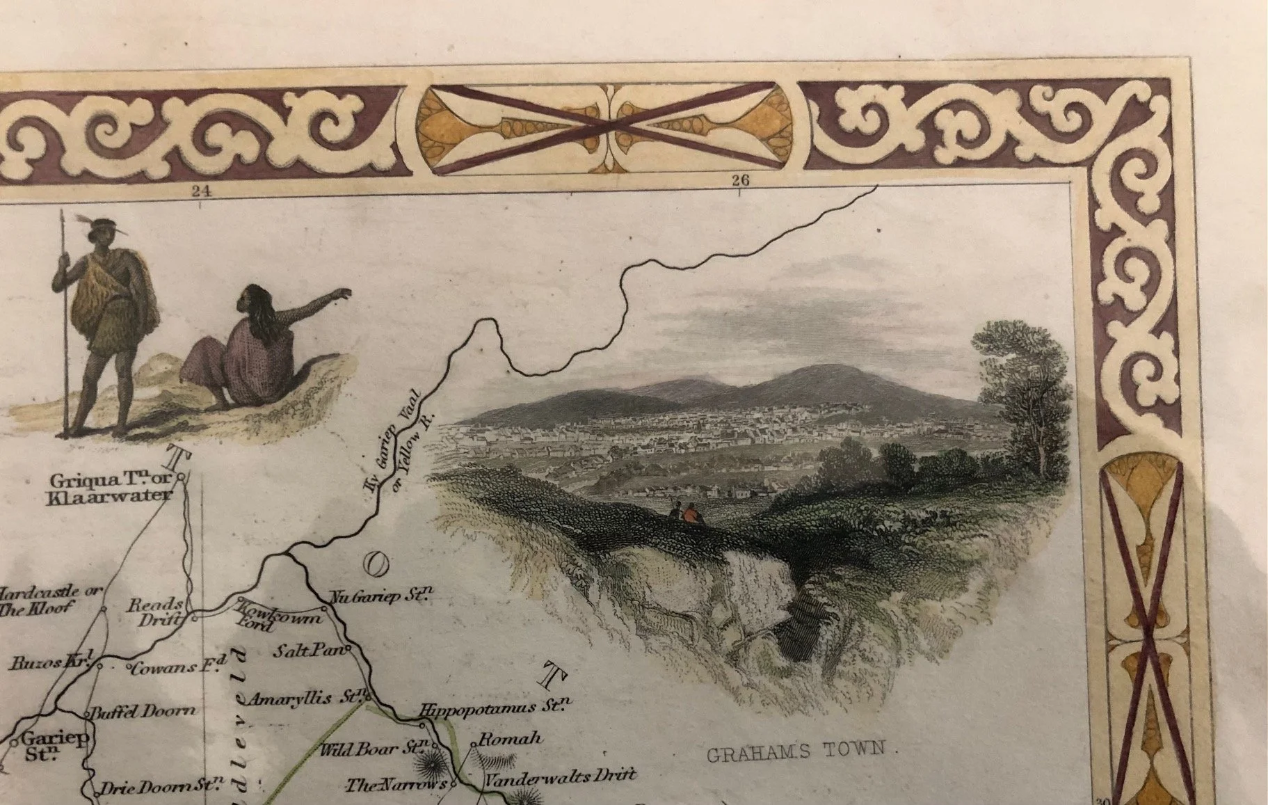
• Look at the small, beautifully engraved vignettes tucked into the empty spaces of the map. These weren't just decorative; they were designed to tell a narrative story of the colony to a British public fascinated by distant imperial frontiers.
Imperial Propaganda in the Vignettes
The vignettes offer a fascinating glimpse into how Victorian London viewed South Africa—blending romanticized colonial landscapes with an imperial narrative:
• Top Left: "Entrance to the Knysna"—highlighting the rugged natural beauty and potential shipping ports of the colony.
• Top Right: A sweeping view of Grahams Town (Grahamstown/Makhanda). In the early 1850s, Grahamstown was the military and administrative heart of the Eastern Cape frontier. Showing it as an established, orderly town reassured British investors and settlers.
• Bottom Left: A classic view of Cape Town nestled under Table Mountain, complete with ships in the bay, emphasizing its role as the crucial "Tavern of the Seas."
• Top Center & Bottom Right: The depictions of indigenous people ("Hottentots" and "Koranas") and a lone lion at the bottom right lean heavily into the Victorian appetite for the "exotic" and untamed frontier.
The Fluidity of the Eastern Frontier
Note the eastern (right-hand) side of the map, a region that was in 1850, a massive geopolitical flashpoint. This map was published right around the outbreak of the Eighth Frontier War (1850–1853), also known as Mlanjeni's War.
• The borders of the eastern districts like Albany, Somerset, and Cradock are clearly defined, but just beyond them lay the newly annexed territory of "British Kaffraria" (established in 1847).
• The map captures the colony at a moment when the British administration was aggressively pushing its borders eastward, trying to consolidate control over the turbulent frontier zones.
A Pre-Railway Interior
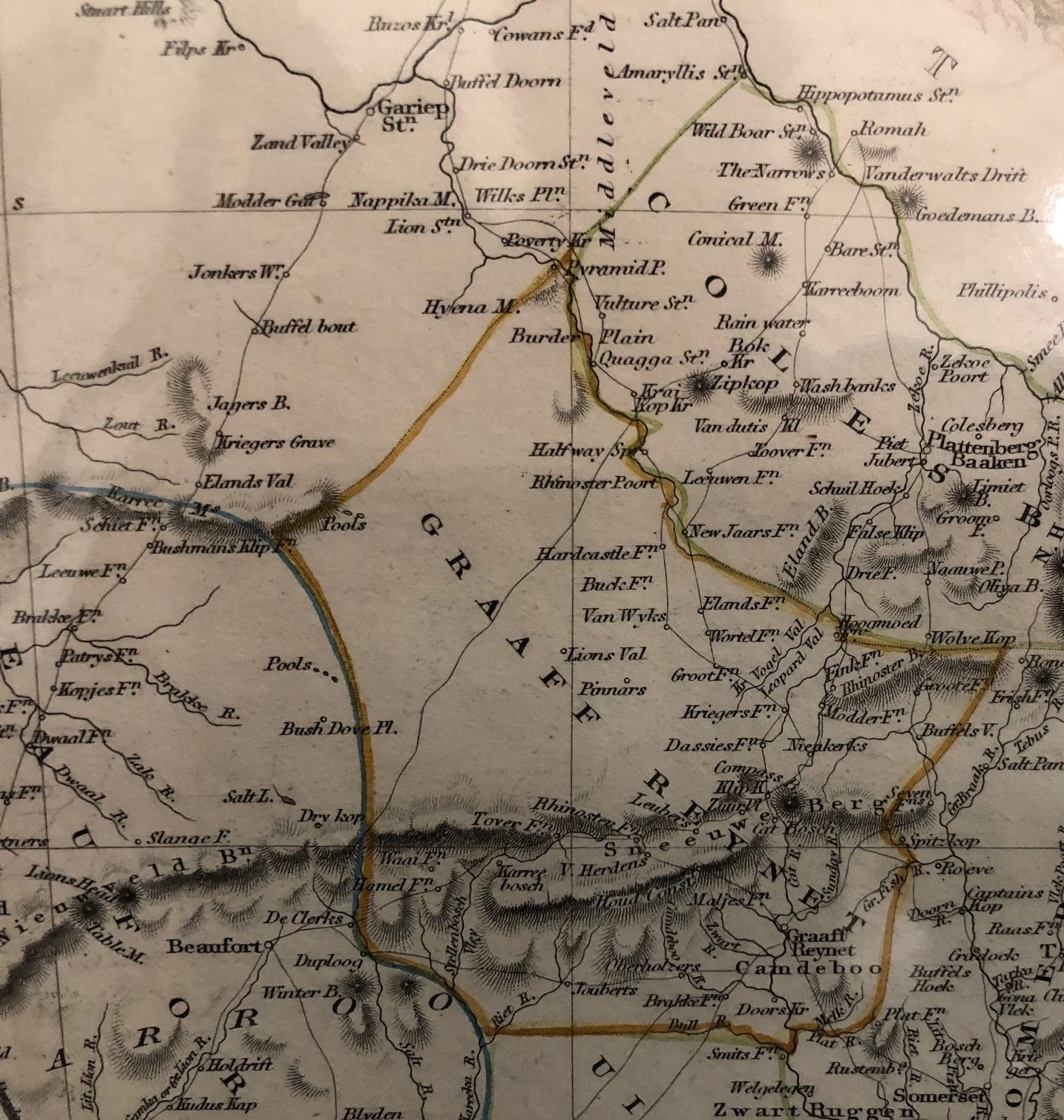
Unlike the later 1880s map, the interior transport infrastructure here is virtually non-existent. There are no railway lines cutting through the Hex River Pass or stretching into the Karoo. The towns listed in the interior—like Graaff Reinet, Beaufort (West), and George—were isolated administrative outposts connected only by treacherous wagon trails over steep mountain passes. It reveals just how vast, formidable, and untamed the South African interior still was to European cartographers at mid-century.
350mm x 270mm
Very slight surface wear.
R3,500