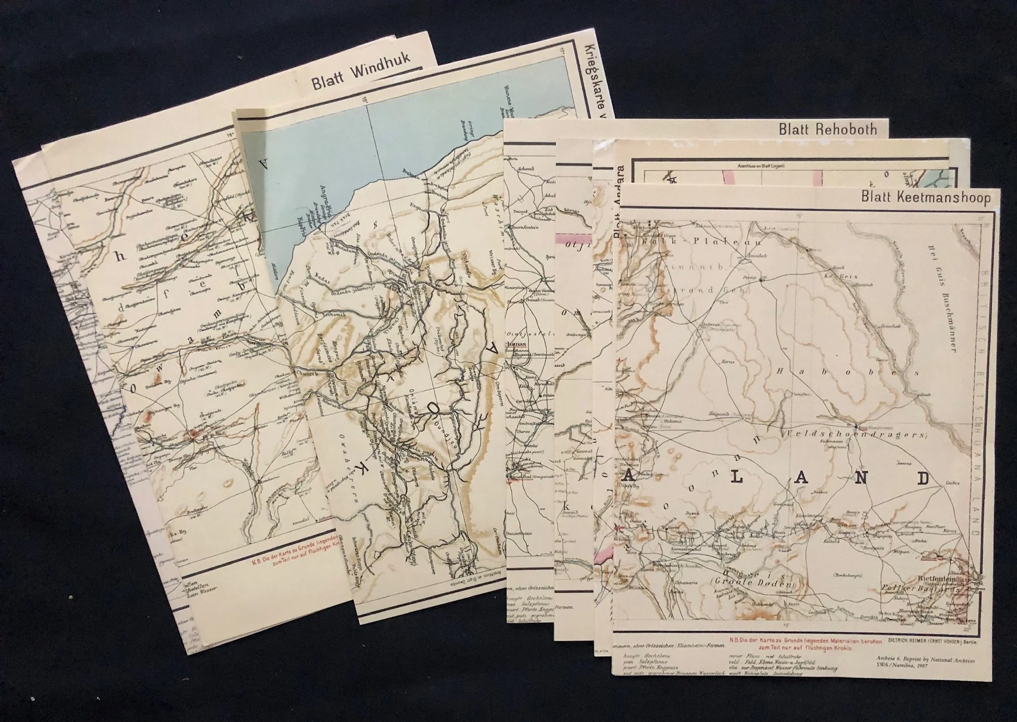
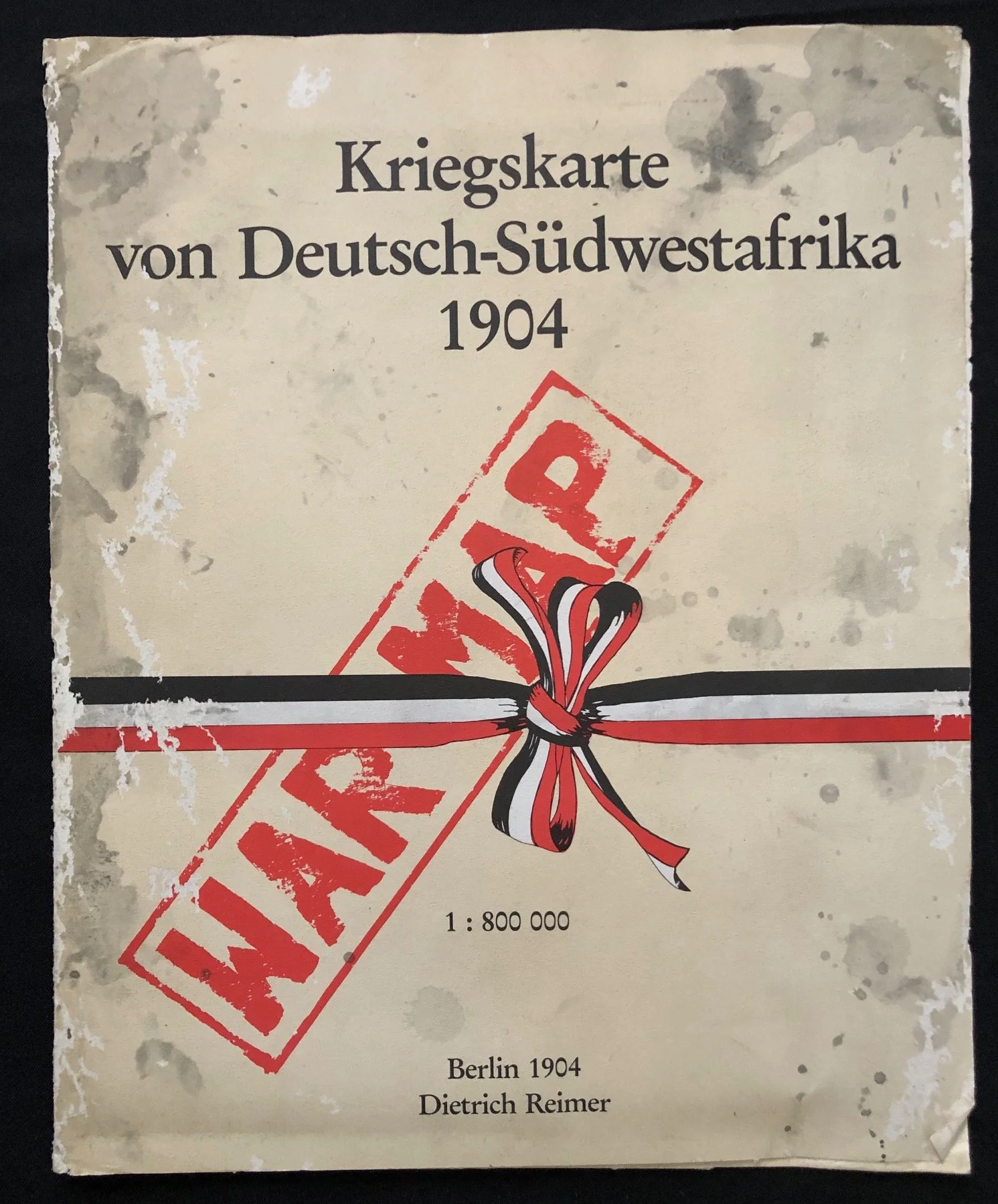
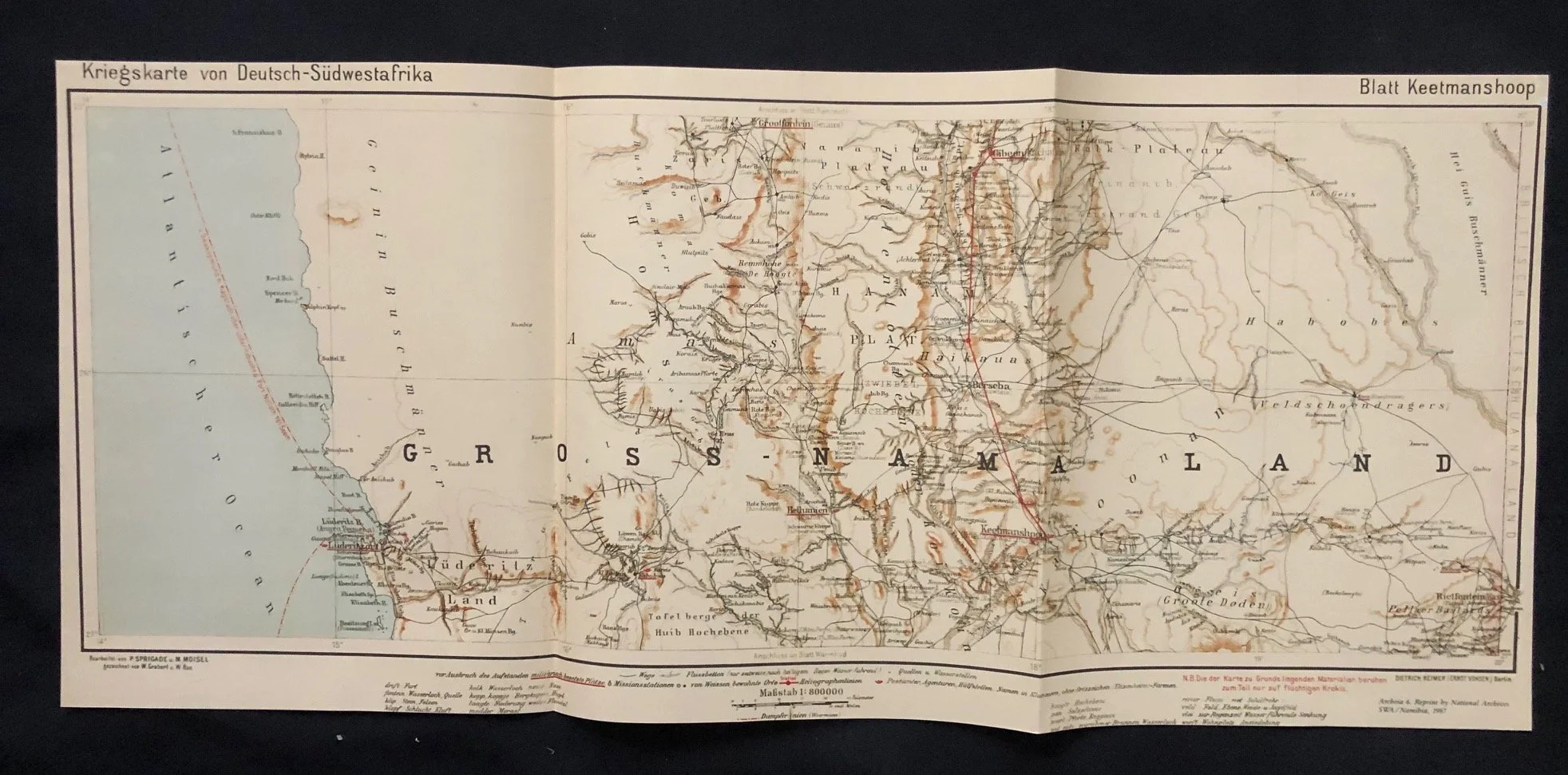
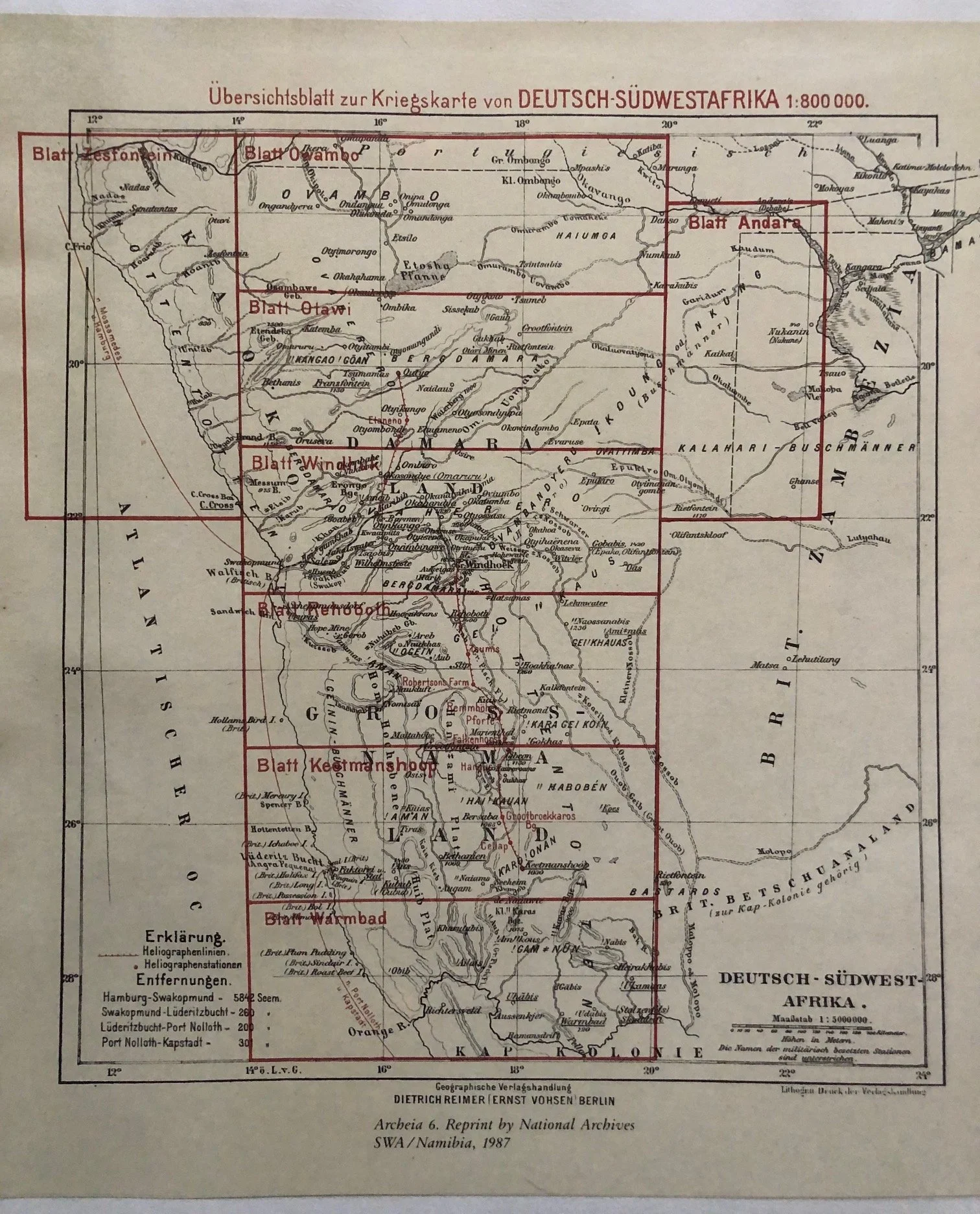
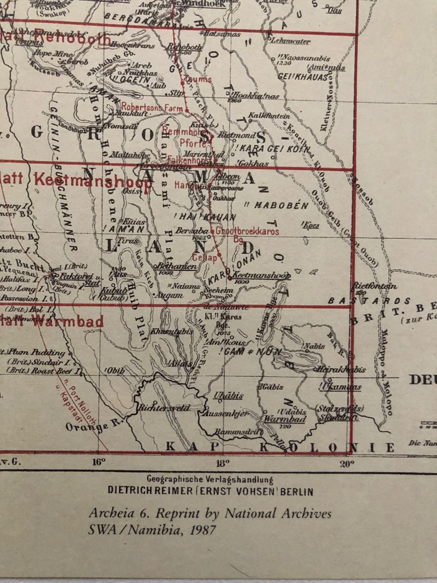
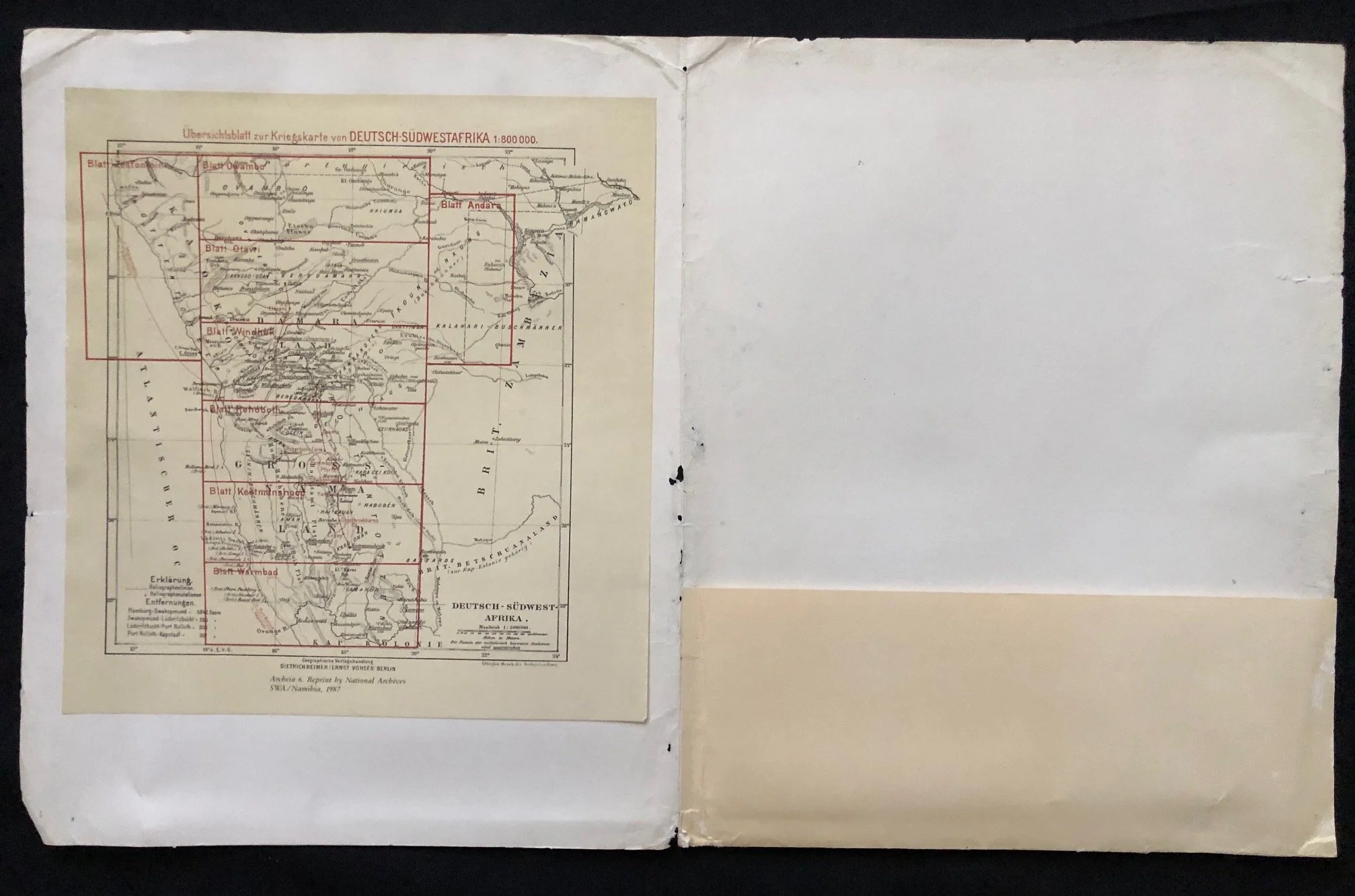
Kriegskarte von Deutsch-Südwestafrika (War Map of German South West Africa) 1987 Archives reprint.
Complete with the 8 folded sheets.
These maps were originally published in Berlin by the renowned cartographic publisher Dietrich Reimer in 1904. These maps are the 1987 archive reprints.
The year 1904 marks one of the darkest and most significant turning points in the history of modern Namibia, making these maps artefacts of a brutal colonial campaign.
Cartography as an Active Weapon of War
Unlike standard topographical surveys, a Kriegskarte (war map) was produced with explicit military utility. In January 1904, the Herero and Nama uprisings broke out against German colonial rule, led by Samuel Maharero and later Hendrik Witbooi.
The German Schutztruppe (colonial army) under Theodor Leutwein, and later the notoriously ruthless General Lothar von Trotha, found themselves fighting a highly mobile guerrilla adversary in an unforgiving, arid landscape they poorly understood.
The maps, compiled under the direction of the German General Staff, were rushed into production to give imperial forces a precise tactical grasp of waterholes (püts), dry riverbeds (riviere), cattle outposts, and topography. It was an essential tool for orchestrating the encirclement of the Herero population.
The Tragic Context: The Battle of Waterberg and its Aftermath
In August 1904, German forces defeated the Herero at the Battle of Waterberg.
Following the battle, Von Trotha issued his infamous Vernichtungsbefehl (Extermination Order). The German military used their geographical knowledge, the very data plotted on sheets inside a portfolio like this one, to systematically seal off the edges of the Omaheke Desert, preventing the fleeing Herero from reaching water sources and forcing thousands into a catastrophic, fatal retreat into the wilderness.
The Graphic Design and "WAR MAP" Stamp
The visual presentation on this cover tells its own story. The ribbon graphic utilizes the black, white, and red tricolor of the German Empire (Reichsfarben).
The bold, red "WAR MAP" stamp across the centre is particularly fascinating from a provenance and distribution standpoint. It strongly indicates that this specific copy was captured, requisitioned, or utilized by British or South African intelligence forces. During World War I (specifically the South West Africa Campaign of 1914–1915), General Louis Botha and Jan Smuts led South African Union forces to seize the territory from Germany. Because the German cartography of the region was vastly superior to anything the British or South Africans possessed, capturing and translation-stamping German Kriegskarten was standard practice for Union commanders on the march to Windhoek.
Various sizes, but the portfolio is 265mm x 336mm
Some wear, fishmothing and creasing.
R1,000